Browse / Canada / Quebec / Labelle
Labelle
Quebecvillage
Demographic figures from Statistics Canada. Overview below cites Wikipedia and may reference a different year.
City facts
Overview
Labelle is a village located in Quebec, Canada. Up-to-date population figures for this locality are not available in the open datasets we monitor. Coordinates of 46.279°, -74.732° situate Labelle in the temperate zone of the northern hemisphere. Solar-resource estimates put the area at about 1,265 kWh/m² of solar irradiance per year with sunshine for roughly 50% of daylight hours. Based on its temperate position, residents likely encounter four distinct seasons with warm summers and cold winters. Read on for charts and tables covering demographics, climate, hazards, schools, wildlife and other open-data indicators for Labelle.
Summary composed automatically from structured open data on this page. See our Terms for details.
History & geography
Geography
Coordinates & boundaries from the US Census TIGER/Line shapefiles.
Climate
Air quality
Walkability
Amenities nearby
Wildlife & biodiversity
Most-observed species
- Black-capped ChickadeePoecile atricapillus (Linnaeus, 1766) · Aves3,850
- Blue JayCyanocitta cristata (Linnaeus, 1758) · Aves3,381
- Red-breasted NuthatchSitta canadensis Linnaeus, 1766 · Aves2,715
- American RobinTurdus migratorius Linnaeus, 1766 · Aves2,079
- American CrowCorvus brachyrhynchos C.L.Brehm, 1822 · Aves2,033
- Hairy WoodpeckerLeuconotopicus villosus (Linnaeus, 1766) · Aves1,865
- Common RavenCorvus corax Linnaeus, 1758 · Aves1,797
- White-throated SparrowZonotrichia albicollis (J.F.Gmelin, 1789) · Aves1,716
Citizen-science & research observations from the Global Biodiversity Information Facility (GBIF).
Earthquake history
Most recent
- M 2.5 — 2026-04-2123 km NE of Saint-André-Avellin, Canada
- M 2.7 — 2026-01-2026 km N of L'Orignal, Canada
- M 2.9 — 2025-09-2222 km NW of Notre-Dame-du-Mont-Carmel, Canada
- M 3.7 — 2025-03-1917 km W of Rivière-Rouge, Canada
- M 2.6 — 2024-10-027 km ENE of Chertsey, Canada
- M 2.7 — 2024-05-1511 km NW of L'Orignal, Canada
Events from the USGS Earthquake Catalog (global) (FDSN Event Web Service).
Photos
Sights & places nearby
Notable people from here
Nearby places in Quebec
- Saint-Rémi-d'Amherst18.7 mi away
- Sainte-Véronique20.4 mi away
- Saint-Émile-de-Suffolk25.6 mi away
- Sainte-Marguerite-du-Lac-Masson36.6 mi away
- Entrelacs36.7 mi away · pop. 928
- Saint-Sauveur38.3 mi away
- Saint-Aimé-du-Lac-des-Îles39 mi away
- Ferme-Neuve44.9 mi away
- Mont-Saint-Michel45 mi away
- Saint-Jean-sur-le-Lac45 mi away
- Saint-Côme45.9 mi away
- Lachute47 mi away · pop. 15,292
Geography & sun
Elevation, sunrise/sunset and daylight from Open-Meteo. Solar climatology from NASA POWER.
Nearby airports
Public attention
Books about Labelle


Search results from Open Library.
Recent natural events nearby
Ground air-quality sensors
Recently spotted species
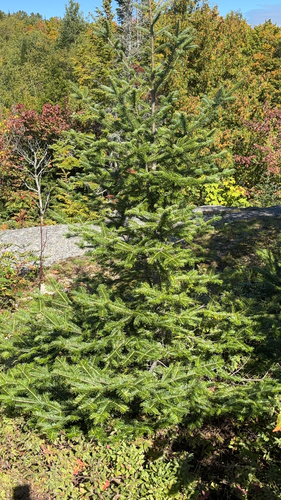
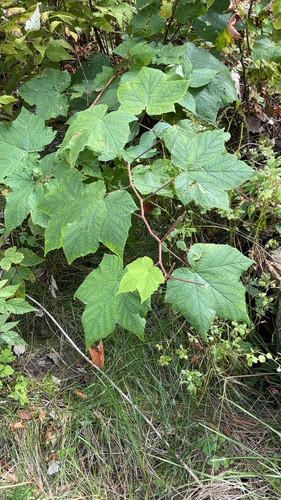
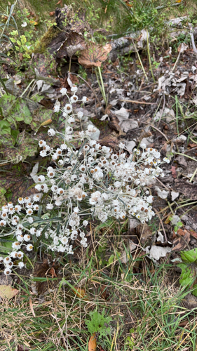
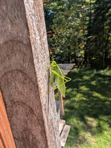
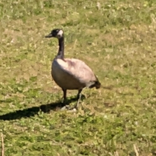
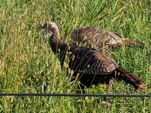
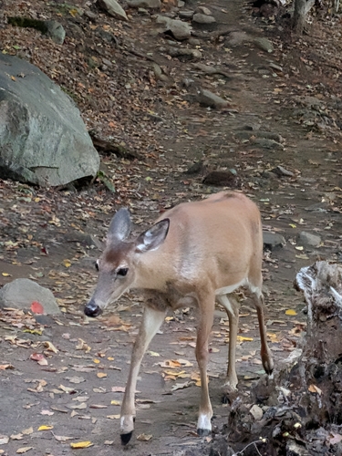
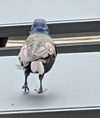
Research-grade observations from iNaturalist (within ~15 mi).
Events
Gallery
Official Identifiers
StatCan — Statistics Canada
- SGC code
- 2478120
- Population (Wikidata)
- 2,765
- Wikidata
- Q3214315
Standard Geographical Classification (SGC) via Wikidata P3012
Sources
- • USGS Earthquake Catalog (global feed)
- • GBIF (Global Biodiversity Information Facility)
- • iNaturalist
- • Open-Meteo / sunrise-sunset.org
- • Open Library
- • StatCan — Statistics Canada — Standard Geographical Classification (SGC) via Wikidata P3012