Browse / Canada / Alberta / Lac Des Arcs
Lac Des Arcs
Albertahamlet

Lac Des Arcs
Air quality index
Demographic figures from Statistics Canada. Overview below cites Wikipedia and may reference a different year.
City facts
Facts from Wikidata (CC0).
Overview
Lac des Arcs is a hamlet in Alberta, Canada within the Municipal District (MD) of Bighorn No. 8. It is located on the south side of the Bow River opposite the Hamlet of Exshaw and has an elevation of 1,320 metres (4,330 ft). Highway 1 borders Lac des Arcs on the south.
Read more on WikipediaHistory & geography
Geography
Coordinates & boundaries from the US Census TIGER/Line shapefiles.
Climate
Air quality
Current readings from Open-Meteo Air Quality API (Copernicus CAMS European reanalysis).
Walkability
Amenities nearby
Wildlife & biodiversity
Most-observed species
- Common RavenCorvus corax Linnaeus, 1758 · Aves5,584
- Black-billed MagpiePica hudsonia (Sabine, 1823) · Aves4,214
- Mountain ChickadeePoecile gambeli (Ridgway, 1886) · Aves4,119
- American RobinTurdus migratorius Linnaeus, 1766 · Aves4,042
- MallardAnas platyrhynchos Linnaeus, 1758 · Aves3,420
- Dark-eyed JuncoJunco hyemalis (Linnaeus, 1758) · Aves2,943
- Black-capped ChickadeePoecile atricapillus (Linnaeus, 1766) · Aves2,861
- American CrowCorvus brachyrhynchos C.L.Brehm, 1822 · Aves2,519
Citizen-science & research observations from the Global Biodiversity Information Facility (GBIF).
Earthquake history
Most recent
- M 3.7 — 2025-01-2658 km NNW of Banff, Canada
- M 2.7 — 2023-06-0716 km NNW of Elkford, Canada
- M 4.1 — 2021-02-145 km N of Banff, Canada
- M 3.3 — 2017-05-2323 km NNW of Elkford, Canada
- M 3.1 — 2014-10-161 km SW of Banff, Canada
- M 2.9 — 2011-04-1016 km SE of Invermere, Canada
Events from the USGS Earthquake Catalog (global) (FDSN Event Web Service).
Photos
Sights & places nearby
Notable people from here
Nearby places in Alberta
- Dead Man's Flats4.6 mi away
- Kananaskis Village9.5 mi away
- Mount Kidd RV Park11.4 mi away
- Mînî Thnî15.6 mi away · pop. 5,000
- Fortress Mountain Resort16.2 mi away
- Anthracite17.8 mi away
- Fortress Junction18.6 mi away
- Summer Village of Ghost Lake20.1 mi away
- Waiparous21 mi away
- Benchlands22.1 mi away
- CottageClub Ghost Lake22.8 mi away
- Redwood Meadows28.7 mi away
Geography & sun
Elevation, sunrise/sunset and daylight from Open-Meteo. Solar climatology from NASA POWER.
Nearby airports
Public attention
Pageview totals from the Wikimedia Pageviews API.
Books about this place
Recent natural events nearby
- Wildfire Parker Lake, Boundary, IdahoWildfires · 2026-08-23 · 164 mi
- Wildfire Skillet, Lincoln, MontanaWildfires · 2026-07-29 · 178 mi
- Wildfire Silver, Boundary, IdahoWildfires · 2026-08-23 · 180 mi
- Wildfire Deer Creek, Lincoln, MontanaWildfires · 2026-08-20 · 200 mi
- Wildfire BRADEEN HILL, Stevens, WashingtonWildfires · 2026-07-25 · 231 mi
- Wildfire Dudley, Shoshone, IdahoWildfires · 2026-08-26 · 245 mi
- Wildfire HUDSPETH, Stevens, WashingtonWildfires · 2026-08-01 · 245 mi
- Wildfire FAIRVIEW, Spokane, WashingtonWildfires · 2026-08-01 · 249 mi
Wildfires, storms and other events from NASA EONET (last 12 months, within 250 mi).
Ground air-quality sensors
Recently spotted species
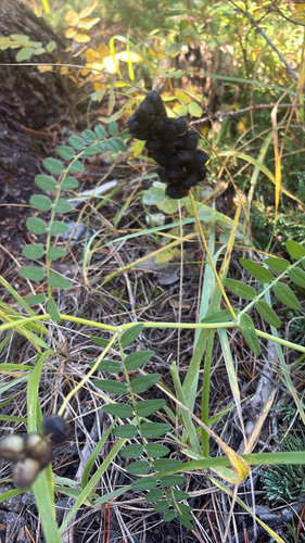
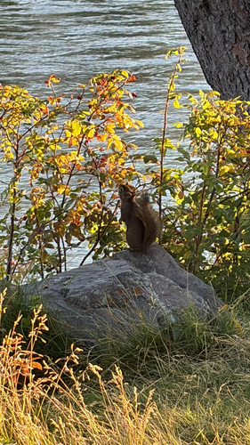
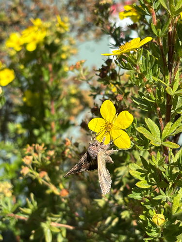
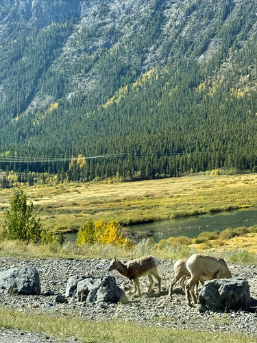
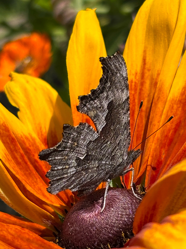
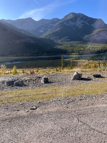
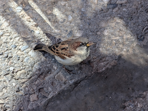
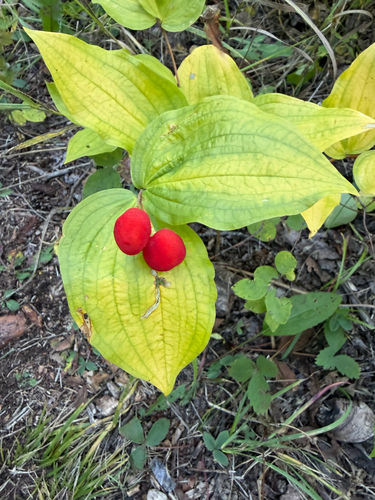
Research-grade observations from iNaturalist (within ~15 mi).
Events
Gallery
Sources
- • Wikipedia
- • Wikidata
- • Open-Meteo Air Quality (CAMS)
- • USGS Earthquake Catalog (global feed)
- • GBIF (Global Biodiversity Information Facility)
- • iNaturalist
- • Open-Meteo / sunrise-sunset.org
- • Wikipedia Pageviews API
- • NASA EONET