Browse / Canada / Quebec / Lac-Frontière
Lac-Frontière
Quebecvillage
Total population
198
Demographic figures from Statistics Canada. Overview below cites Wikipedia and may reference a different year.
City facts
Overview
Lac-Frontière, a small village in Quebec, Canada, forms part of the country's settled landscape. Population sits at roughly 198 according to the open data we track. The settlement sits at 46.697°, -70.001°, a temperate location in the northern hemisphere. Based on its temperate position, residents likely encounter four distinct seasons with warm summers and cold winters. Open solar datasets indicate about 1,256 kWh/m² of solar irradiance per year, combined with sunshine for roughly 49% of daylight hours. Detailed open-data panels follow, covering demographics, climate, geography, wildlife and nearby settlements.
Summary composed automatically from structured open data on this page. See our Terms for details.
History & geography
Geography
Coordinates & boundaries from the US Census TIGER/Line shapefiles.
Climate
Air quality
Walkability
Amenities nearby
Wildlife & biodiversity
Most-observed species
- Black-capped ChickadeePoecile atricapillus (Linnaeus, 1766) · Aves576
- Blue JayCyanocitta cristata (Linnaeus, 1758) · Aves442
- White-throated SparrowZonotrichia albicollis (J.F.Gmelin, 1789) · Aves442
- Red-breasted NuthatchSitta canadensis Linnaeus, 1766 · Aves435
- American RobinTurdus migratorius Linnaeus, 1766 · Aves335
- Golden-crowned KingletRegulus satrapa Lichtenstein, 1823 · Aves320
- Hairy WoodpeckerLeuconotopicus villosus (Linnaeus, 1766) · Aves309
- American CrowCorvus brachyrhynchos C.L.Brehm, 1822 · Aves281
Citizen-science & research observations from the Global Biodiversity Information Facility (GBIF).
Earthquake history
Most recent
- M 2.5 — 2026-06-0218 km SSW of La Malbaie, Canada
- M 2.7 — 2026-02-249 km NW of La Pocatière, Canada
- M 2.7 — 2025-10-221 km SW of Beaupré, Canada
- M 2.5 — 2023-11-3014 km SW of La Malbaie, Canada
- M 2.6 — 2023-08-11St. Lawrence Valley region, Quebec, Canada
- M 2.9 — 2022-12-2515 km NNW of La Pocati?re, Canada
Events from the USGS Earthquake Catalog (global) (FDSN Event Web Service).
Photos
Sights & places nearby
Notable people from here
People born within ~10 km, from Wikidata (CC0). Click any name for their Wikipedia article.
Nearby places in Quebec
- Saint-Fabien-de-Panet7.5 mi away
- Daaquam7.9 mi away
- Saint-Marcel14.2 mi away
- Notre-Dame-du-Rosaire20.5 mi away
- Sainte-Justine25.8 mi away
- Notre-Dame-Auxiliatrice-de-Buckland26.4 mi away
- Armagh27.9 mi away
- Sainte-Germaine-Station30.5 mi away
- Saint-Damien-de-Buckland31.5 mi away
- Cap-Saint-Ignace31.9 mi away
- L'Islet32.5 mi away
- Saint-Louis-de-Gonzague33.6 mi away
Geography & sun
Elevation, sunrise/sunset and daylight from Open-Meteo. Solar climatology from NASA POWER.
Nearby airports
Public attention
Pageview totals from the Wikimedia Pageviews API.
Books about Lac-Frontière


Search results from Open Library.
Recent natural events nearby
Ground air-quality sensors
Recently spotted species
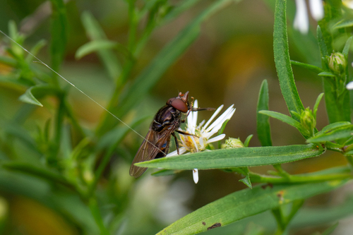
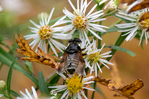
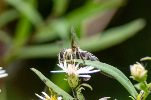
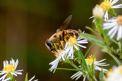
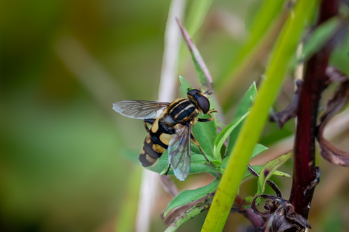
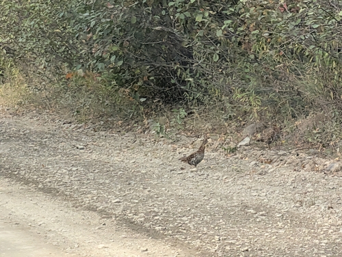
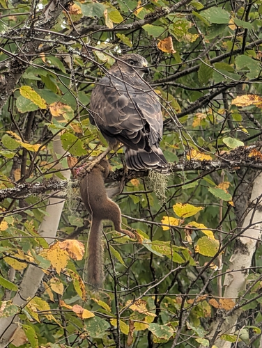
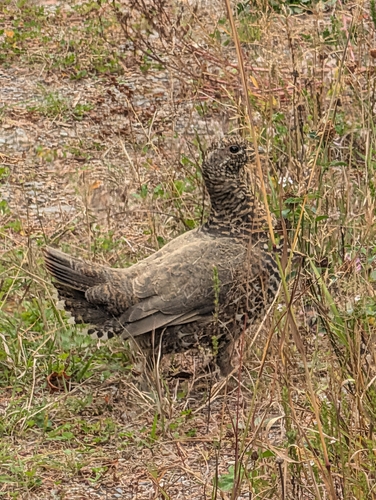
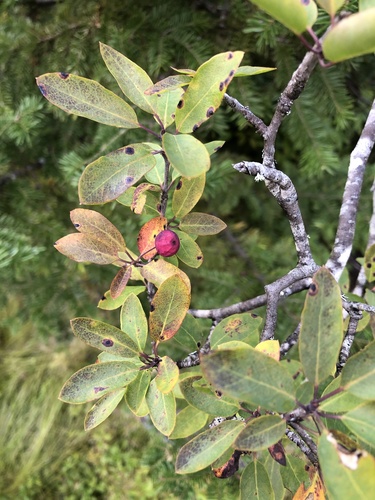
Research-grade observations from iNaturalist (within ~15 mi).
Events
Gallery
Official Identifiers
StatCan — Statistics Canada
- SGC code
- 2418010
- Population (Wikidata)
- 175
- Wikidata
- Q3214610
Standard Geographical Classification (SGC) via Wikidata P3012
Sources
- • Wikidata
- • USGS Earthquake Catalog (global feed)
- • GBIF (Global Biodiversity Information Facility)
- • iNaturalist
- • Open-Meteo / sunrise-sunset.org
- • Wikipedia Pageviews API
- • Open Library
- • StatCan — Statistics Canada — Standard Geographical Classification (SGC) via Wikidata P3012