Browse / Canada / Newfoundland and Labrador / Ladle Cove
Ladle Cove
Newfoundland and Labradorhamlet
Demographic figures from Statistics Canada. Overview below cites Wikipedia and may reference a different year.
City facts
Overview
Ladle Cove is a designated place in the Canadian province of Newfoundland and Labrador. It is along the Straight Shore on the island of Newfoundland.
Read more on WikipediaHistory & geography
History
The first settlers in Ladle Cove are believed to have been Samuel and Tobias Pinsent, who stayed for the winter in 1862. The first land grant was issued to the Methodist board of education in 1876; the next grant was given to the West Brothers in 1877. By 1869 there were 48 people living in the cove, some of whom spent the summer fishing around the Offer Wadham Islands. In the 1880s, the fertile soil enabled Ladle Cove to ship surplus vegetables to other communities. The first post office was established in Abraham Tulk's home around 1885; it remained there until 1919, when Martha Stratton had it in her home. A post office was built in 1925. The population in 1951 was 176. ;Church history Although most of the population at the beginning of settlement were Church of England, there was no Church of England church. The first Methodist school-chapel in Ladle Cove opened in 1884 and the first minister was either James Wilson or A.J. Cheeseman. Between 1862 and 1874, ministers from Greenspond and Fogo visited to perform services, baptisms, burials and marriages. From 1874 to 1884, the ministers came from Musgrave Harbour until Ladle Cove got its own church, which fell under the Musgrave circuit. In 1894 a new church was opened by Thomas Darby.
Geography
Ladle Cove is in Newfoundland within Subdivision L of Division No. 8. It is situated on Notre Dame Bay, near Musgrave Harbour on Hamilton Sound. Ladle Cove is close to good fishing grounds off the Wadham Islands. It also attracted settlers because the soil is fertile enough for growing vegetables.
Excerpted from the corresponding Wikipedia article (CC BY-SA).
Geography
Coordinates & boundaries from the US Census TIGER/Line shapefiles.
Climate
Air quality
Walkability
Amenities nearby
Wildlife & biodiversity
Earthquake history
Photos
Sights & places nearby
Notable people from here
Geography & sun
Elevation, sunrise/sunset and daylight from Open-Meteo. Solar climatology from NASA POWER.
Nearby airports
Public attention
Pageview totals from the Wikimedia Pageviews API.
Books about this place
Recent natural events nearby
Ground air-quality sensors
Recently spotted species
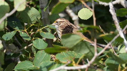
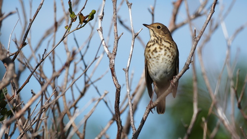
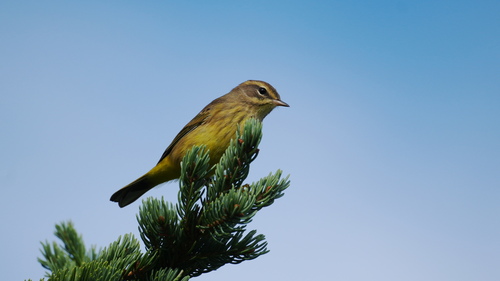
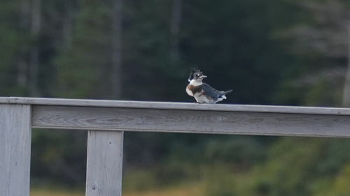
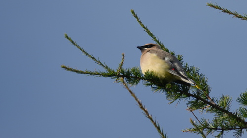
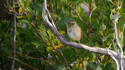
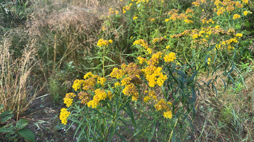
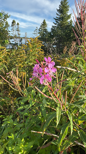
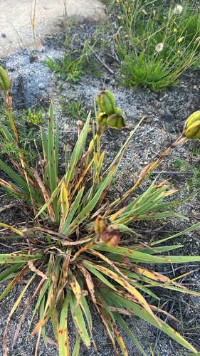
Research-grade observations from iNaturalist (within ~15 mi).
Events
Gallery
Sources
- • Wikipedia
- • iNaturalist
- • Open-Meteo / sunrise-sunset.org
- • Wikipedia Pageviews API