Browse / United States / California / Lamont
Lamont
CaliforniaCDP

Lamont
Total population
13,164
Median home value
$220,700
Bachelor's+
Median income
$37,217
Demographic figures from US Census Bureau · ACS 5-year estimates. Overview below cites Wikipedia and may reference a different year.
- Heat Advisory · ModerateHeat Advisory issued October 1 at 9:30AM PDT until October 4 at 10:00PM PDT by NWS Hanford CA
Source: NOAA National Weather Service.
City facts
Facts from Wikidata (CC0).
Overview
Lamont is a census-designated place (CDP) in Kern County, California, United States. Lamont is located 9 miles (14 km) south-southeast of downtown Bakersfield, at an elevation of 404 feet (123 m). The population was 14,049 at the 2020 census, down from 15,120 at the 2010 census.
Read more on WikipediaHistory & geography
History
Lamont was founded in 1923. During the 1930s–1950s, large numbers of farm workers migrated to the Lamont area from the east seeking relief from the Great Depression and the Dust Bowl. The first post office opened in 1947. The first public library in Lamont was opened in June 1912. It was located in the Weedpatch home of Phoebe Wells. Growth was rapid in the Lamont region, with the influx of workers in the oil industry, and in 1935, the library was moved to a new building. In 1952, the Kern County Board of Supervisors purchased a lot to construct a building that would house the library and a public health center. The facility was opened in January 1953. The branch remained in that building until January 1974, when it was relocated to a newer and larger location. Five years later, the branch was moved yet again to the former Lamont Community Building. To meet the ever-growing needs projected for the population in 1990, construction for a new building was made possible through funds provided by the California State Library under the Library Services and Construction Act, Title II, Community Development Block Grant funds from the United States Department of Housing and Urban Development. The old building was demolished, the new building was built, and opened to the public in early spring of 1998.
Geography
Lamont is located in south-central California about from Bakersfield and about from Los Angeles. According to the United States Census Bureau, the CDP has a total area of , of which are land and of it (0.74%) is covered by water.
Excerpted from the corresponding Wikipedia article (CC BY-SA).
Demographics & economy
Race & ethnicity
Source: US Census Bureau — American Community Survey, 5-year estimates.
Geography
Coordinates & boundaries from the US Census TIGER/Line shapefiles.
Climate
Current forecast
Forecast for Lamont, CA from NOAA NWS API.
Air quality
Industrial & pollution facilities
Natural hazard risk
Health (adults)
Walkability
Amenities nearby
Wildlife & biodiversity
Schools
Earthquake history
Photos
Sights & places nearby
Notable people from here
People born within ~10 km, from Wikidata (CC0). Click any name for their Wikipedia article.
Nearby places in California
- Cottonwood6.8 mi away · pop. 3,107
- Arvin6.9 mi away · pop. 19,539
- Casa Loma7.1 mi away
- Potomac Park7.3 mi away
- Old Stine9.3 mi away
- Lakeside9.6 mi away · pop. 807
- Old River10.7 mi away
- Olde Stockdale10.8 mi away
- Oildale13 mi away
- Mettler14.3 mi away
- Mexican Colony24.4 mi away · pop. 148
- Dustin Acres26.1 mi away · pop. 656
Geography & sun
Elevation, sunrise/sunset and daylight from Open-Meteo. Solar climatology from NASA POWER.
Nearby airports
Public attention
Pageview totals from the Wikimedia Pageviews API.
Books about Lamont





Search results from Open Library.
Recent natural events nearby
- Wildfire BUZZARD, Kern, CaliforniaWildfires · 2026-08-05 · 25 mi
- Wildfire RIDGE, Los Angeles, CaliforniaWildfires · 2026-08-07 · 33 mi
- Wildfire PLAINS, San Luis Obispo, CaliforniaWildfires · 2026-08-12 · 62 mi
- Prescribed Fire CRAWFORD CORRAL RX, Tulare, CaliforniaWildfires · 2026-09-19 · 92 mi
- Wildfire Plaskett, Monterey, CaliforniaWildfires · 2026-08-26 · 147 mi
- Wildfire DOME, Mariposa, CaliforniaWildfires · 2026-09-15 · 164 mi
- Wildfire Timber, Monterey, CaliforniaWildfires · 2026-08-09 · 170 mi
- Wildfire GANN, Calaveras, CaliforniaWildfires · 2026-08-03 · 222 mi
Wildfires, storms and other events from NASA EONET (last 12 months, within 250 mi).
Ground air-quality sensors
Recently spotted species

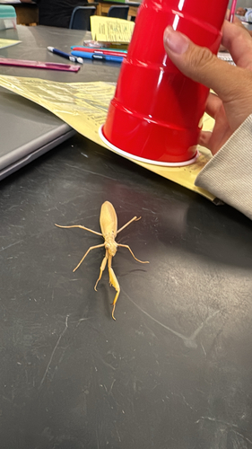
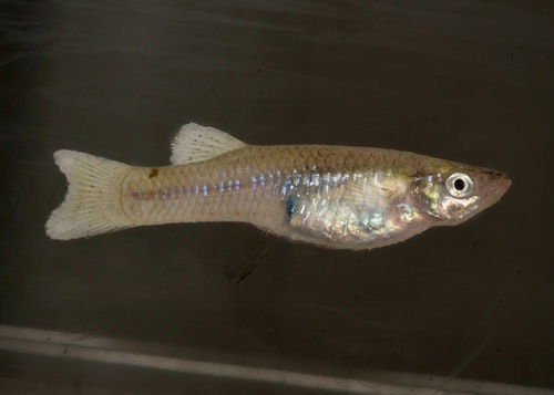
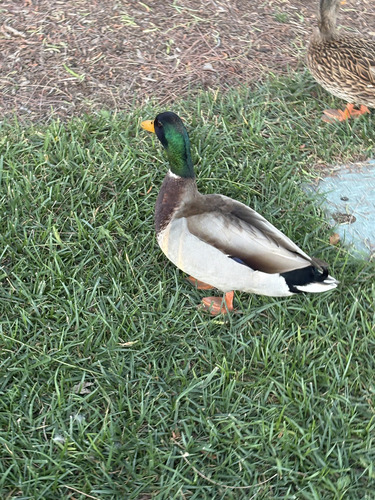
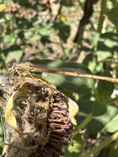

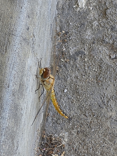
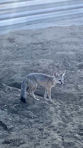
Research-grade observations from iNaturalist (within ~15 mi).
Nearest stream gauge
Live readings from USGS NWIS · measured 2026-09-17 20:00 UTC.
Events
Gallery
Sources
- • Wikipedia
- • US Census Bureau (ACS 5-year estimates)
- • NOAA National Weather Service
- • Wikidata
- • USGS NWIS (water data)
- • iNaturalist
- • Open-Meteo / sunrise-sunset.org
- • Wikipedia Pageviews API
- • Open Library
- • NASA EONET