Browse / Canada / Manitoba / Landmark
Landmark
Manitobavillage

Featured view
Landmark
Coordinates49.67°, -96.82°
Demographic figures from Statistics Canada. Overview below cites Wikipedia and may reference a different year.
Loading additional data from public sources…0 / 11
CensusWikipediaWeatherPlacesPeopleEnvironmentHealth & SchoolsRelatedGeography & CultureLive MonitoringEvents & Gallery
0% completeCity facts
Overview
A landmark is a recognizable natural or artificial feature used for navigation, a feature that stands out from its near environment and is often visible from long distances.
Read more on WikipediaHistory & geography
Geography
Latitude
49.6694
Longitude
-96.8209
Water area
—
Coordinates & boundaries from the US Census TIGER/Line shapefiles.
Climate
Air quality
Walkability
Amenities nearby
Wildlife & biodiversity
Earthquake history
Photos
Sights & places nearby
Notable people from here
Nearby places in Manitoba
Geography & sun
Avg solar (kWh/m²/day)
3.7
Annual solar (kWh/m²)
1,349
Elevation, sunrise/sunset and daylight from Open-Meteo. Solar climatology from NASA POWER.
Nearby airports
Public attention
Wikipedia views (last 30 days)
2,513
Avg daily Wikipedia views
87
Attention level
Quiet
Pageview totals from the Wikimedia Pageviews API.
Books about Landmark
Landmark Roses
Margaret Kyle · 2017
Landmark Roses: (Manitoba) (Canadian Historical Brides)

Manitoba
Holly S. Seaman · 1920

Winnipeg Landmarks
Murray Peterson · 1995

Le Corbusier
Le Corbusier · 1938
O. A. C. Review Volume 46 Issue 1, October 1933
Ontario Agricultural College · 1933
Search results from Open Library.
Recent natural events nearby
Ground air-quality sensors
Recently spotted species
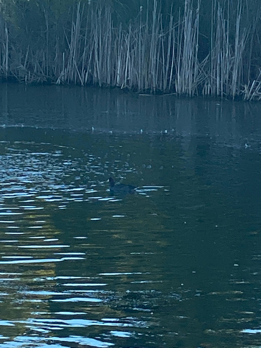
American Coot
Fulica americana
Seen 2026-09-17
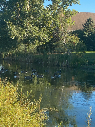
Canada Goose
Branta canadensis
Seen 2026-09-17
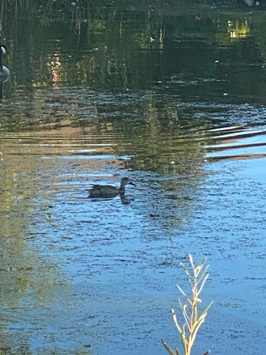
Blue-winged Teal
Spatula discors
Seen 2026-09-17
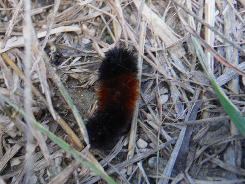
Isabella Tiger Moth
Pyrrharctia isabella
Seen 2026-09-17
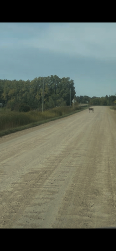
White-tailed Deer
Odocoileus virginianus
Seen 2026-09-16
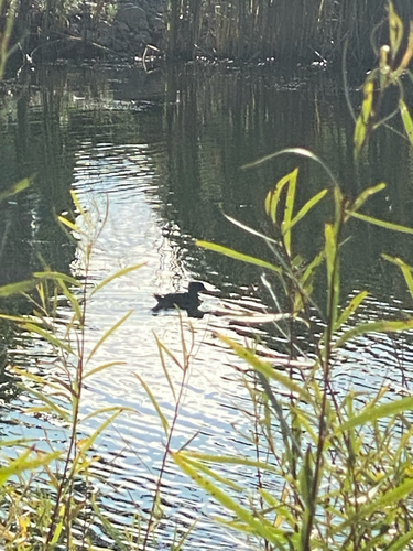
Hooded Merganser
Lophodytes cucullatus
Seen 2026-09-13
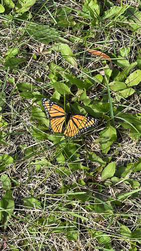
Viceroy
Limenitis archippus
Seen 2026-09-13
Research-grade observations from iNaturalist (within ~15 mi).
Events
Gallery
Sources
- • Wikipedia
- • iNaturalist
- • Open-Meteo / sunrise-sunset.org
- • Wikipedia Pageviews API
- • Open Library