Browse / Canada / Manitoba / Lauder
Lauder
Manitobahamlet
No image yet
Coordinates49.39°, -100.68°
Demographic figures from Statistics Canada. Overview below cites Wikipedia and may reference a different year.
Loading additional data from public sources…0 / 11
CensusWikipediaWeatherPlacesPeopleEnvironmentHealth & SchoolsRelatedGeography & CultureLive MonitoringEvents & Gallery
0% completeCity facts
Overview
Lauder is a small community in the Rural Municipality of Grassland in the Canadian province of Manitoba. The community is located at the junction of Highway 254 and Highway 345, approximately 100 km south-west of Brandon only 22 km south-west of the Town of Hartney. Lauder is about 3 miles south of the Souris River and the Lauder Sand Hills.
Read more on WikipediaHistory & geography
Geography
Latitude
49.3908
Longitude
-100.6754
Water area
—
Coordinates & boundaries from the US Census TIGER/Line shapefiles.
Climate
Air quality
Walkability
Amenities nearby
Wildlife & biodiversity
Earthquake history
Photos
Sights & places nearby
Notable people from here
W
William Harold Hicks
Canadian politician (1888–1974)
R
Robert Fulton Logan
painter and etcher (1889–1959)
S
S. Cameron Jay
Canadian entomologist
People born within ~10 km, from Wikidata (CC0). Click any name for their Wikipedia article.
Nearby places in Manitoba
Geography & sun
Nearby airports
Public attention
Books about this place
Recent natural events nearby
Ground air-quality sensors
Recently spotted species
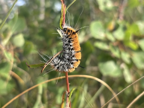
Large Gray Dagger
Acronicta insita
Seen 2026-09-02
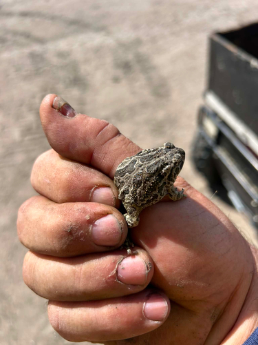
Great Plains Toad
Anaxyrus cognatus
Seen 2026-08-31
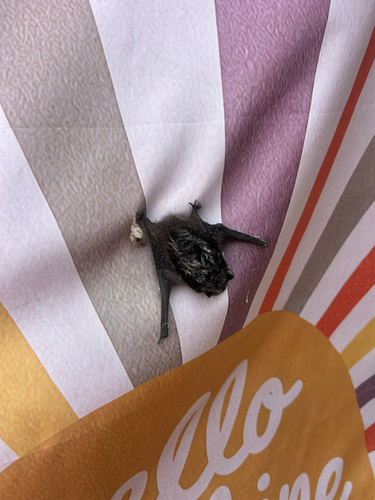
Silver-haired Bat
Lasionycteris noctivagans
Seen 2026-08-11
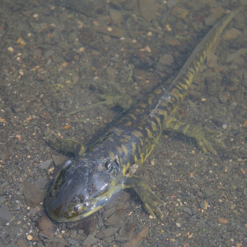
Western Tiger Salamander
Ambystoma mavortium
Seen 2026-08-08
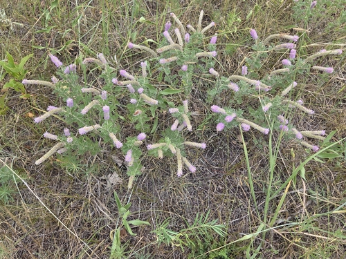
Silky Prairie Clover
Dalea villosa
Seen 2026-08-05
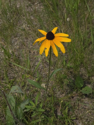
black-eyed Susan
Rudbeckia hirta
Seen 2026-07-18
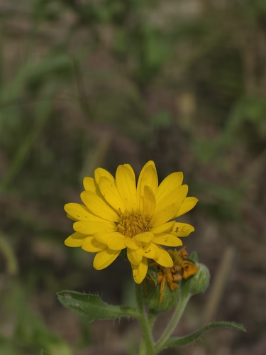
Hairy False Goldenaster
Heterotheca villosa
Seen 2026-07-18
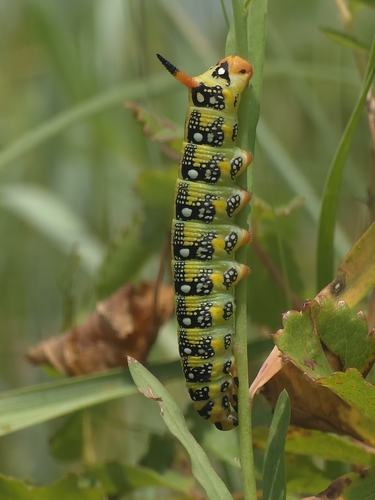
Leafy Spurge Hawkmoth
Hyles euphorbiae
Seen 2026-07-18
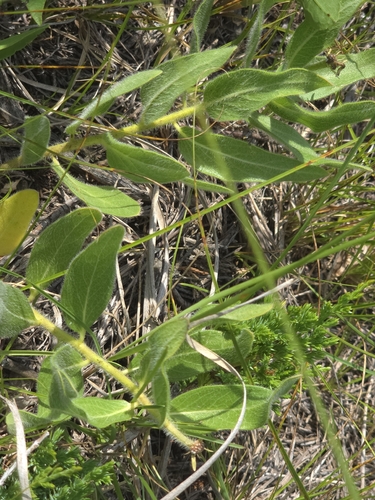
woolly milkweed
Asclepias lanuginosa
Seen 2026-07-18
Research-grade observations from iNaturalist (within ~15 mi).
Events
Gallery
Sources
- • Wikipedia
- • Wikidata
- • iNaturalist