Browse / Canada / Quebec / Laval
Laval
Quebeccity

Laval
Total population
438,366
Founded
1965
Air quality index
Demographic figures from Statistics Canada. Overview below cites Wikipedia and may reference a different year.
City facts
Facts from Wikidata (CC0).
Overview
Laval is a city in Quebec, Canada. It is in the southwest of the province, north of Montreal. It is the largest suburb of Greater Montreal, the third-largest city in the province after Montreal and Quebec City, and the thirteenth largest city in Canada, with a population of 443,192 in 2021.
Read more on WikipediaHistory & geography
History
The first European Settlers in Laval were Jesuits, who were granted a seigneury there in 1636. Agriculture first appeared in Laval in 1670. In 1675, François de Montmorency-Laval gained control of the seigneury. In 1702 a parish municipality was founded, and dedicated to Saint-François de Sales (not to be confused with the modern-day Saint-François-de-Sales in Saguenay–Lac-Saint-Jean). In 1845, after nearly 200 years being of a rural nature, additional municipalities began to be created. The only built-up area on the island, Sainte-Rose, was incorporated as a village in 1850, and it remained the main community for the remainder of the century. With the dawn of the 20th century came urbanization. Laval-des-Rapides became Laval's first city in 1912, followed by , which was granted village status three years later. Laval-sur-le-Lac was founded in the same year and had its tourist-based economy based on Montrealers. Laval began to grow throughout the following years because its proximity to Montreal made it an ideal suburb. To deal with problems caused by urbanization, amalgamations occurred; L'Abord-à-Plouffe amalgamated with and Saint-Martin, creating the city of Chomedey in 1961. The amalgamation turned out to be so successful for the municipalities involved that the Quebec government decided to amalgamate the whole island into a single city of Laval in 1965, not without controversy. Laval was named after the first owner of Île Jésus, François de Montmorency-Laval, the first Roman Catholic Bishop of Quebec. At the time, Laval had a population of 170,000. Laval became a Regional County Municipality in 1980. Until then, it had been the County of Laval. The 14 municipalities, which existed prior to the incorporation of the amalgamated City of Laval on 6 August 1965,…
Geography
The island has developed over time, with most of the urban area in the central region and along the south and west river banks. Laval is bordered on the south by Montreal across the Rivière des Prairies, on the north by Les Moulins Regional County Municipality and by Thérèse-De Blainville Regional County Municipality and on the west by Deux-Montagnes Regional County Municipality across the Rivière des Mille Îles. Laval experiences a four-season humid continental climate (Koppen: Dfb) with very warm summers and very cold winters with adequate precipitation year-round, though more so during summer and early fall.
Excerpted from the corresponding Wikipedia article (CC BY-SA).
Geography
Coordinates & boundaries from the US Census TIGER/Line shapefiles.
Climate
10-year averages from ERA5 reanalysis (Open-Meteo).
Air quality
Current readings from Open-Meteo Air Quality API (Copernicus CAMS European reanalysis).
Walkability
Amenities nearby
Wildlife & biodiversity
Most-observed species
- Northern CardinalCardinalis cardinalis (Linnaeus, 1758) · Aves119,729
- Black-capped ChickadeePoecile atricapillus (Linnaeus, 1766) · Aves116,279
- American RobinTurdus migratorius Linnaeus, 1766 · Aves100,102
- American CrowCorvus brachyrhynchos C.L.Brehm, 1822 · Aves98,708
- Downy WoodpeckerDryobates pubescens (Linnaeus, 1766) · Aves88,223
- American GoldfinchSpinus tristis (Linnaeus, 1758) · Aves83,360
- Ring-billed GullLarus delawarensis Ord, 1815 · Aves83,093
- MallardAnas platyrhynchos Linnaeus, 1758 · Aves82,083
Citizen-science & research observations from the Global Biodiversity Information Facility (GBIF).
Earthquake history
Most recent
- M 2.5 — 2026-04-2123 km NE of Saint-André-Avellin, Canada
- M 2.7 — 2026-01-2026 km N of L'Orignal, Canada
- M 2.7 — 2025-10-144 km NNW of Chazy, New York
- M 2.5 — 2025-01-016 km SSE of Fort Covington Hamlet, New York
- M 2.6 — 2024-10-027 km ENE of Chertsey, Canada
- M 3.8 — 2024-09-015 km SE of Pierreville, Canada
Events from the USGS Earthquake Catalog (global) (FDSN Event Web Service).
Photos
Sights & places nearby
Notable people from here


People born within ~10 km, from Wikidata (CC0). Click any name for their Wikipedia article.
Nearby places in Quebec
- Hampstead6.3 mi away
- Rosemère6.6 mi away
- Boisbriand6.9 mi away · pop. 26,884
- Sainte-Thérèse7.7 mi away · pop. 25,989
- Bois-des-Filion8 mi away
- Deux-Montagnes9 mi away
- Beaconsfield11.3 mi away
- Blainville11.3 mi away · pop. 56,863
- Montréal-Est11.9 mi away
- Saint-Joseph-du-Lac13.9 mi away
- Candiac15.4 mi away · pop. 21,500
- Sainte-Anne-de-Bellevue15.4 mi away
Geography & sun
Elevation, sunrise/sunset and daylight from Open-Meteo. Solar climatology from NASA POWER.
Nearby airports
Public attention
Pageview totals from the Wikimedia Pageviews API.
Books about Laval


Search results from Open Library.
Recent natural events nearby
Ground air-quality sensors
Recently spotted species
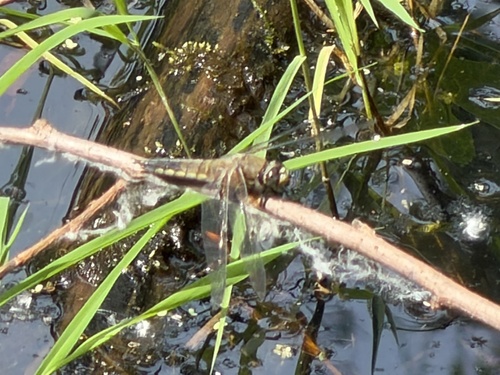
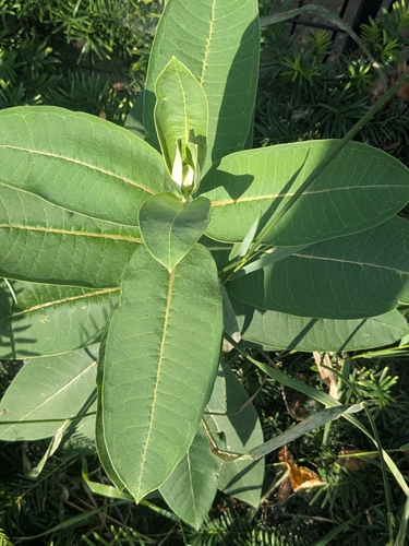
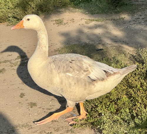
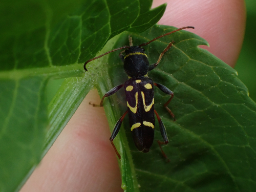
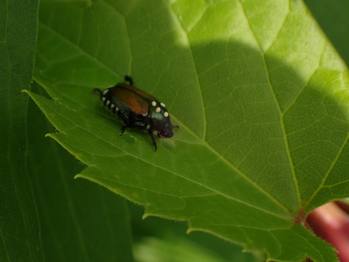
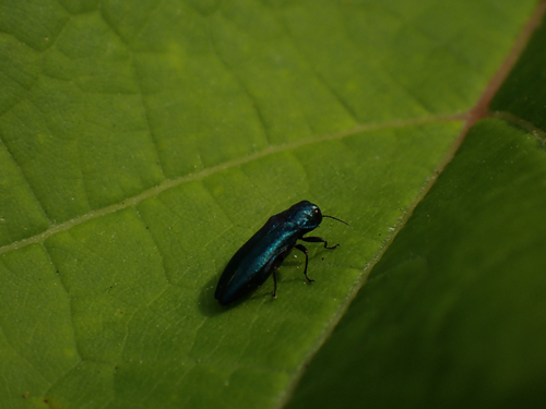
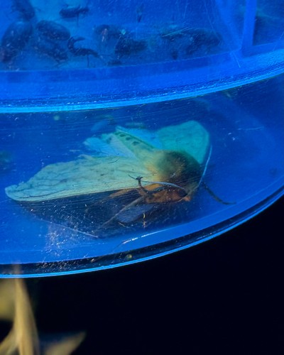
Research-grade observations from iNaturalist (within ~15 mi).
Events
Gallery
Sources
- • Wikipedia
- • Open-Meteo (ERA5 reanalysis)
- • Wikidata
- • Open-Meteo Air Quality (CAMS)
- • USGS Earthquake Catalog (global feed)
- • GBIF (Global Biodiversity Information Facility)
- • iNaturalist
- • Open-Meteo / sunrise-sunset.org
- • Wikipedia Pageviews API
- • Open Library