Browse / Canada / Manitoba / Leaf Rapids
Leaf Rapids
Manitobatown
Total population
453
Founded
1969
Demographic figures from Statistics Canada. Overview below cites Wikipedia and may reference a different year.
City facts
Facts from Wikidata (CC0).
Overview
Leaf Rapids is a town in northwest Manitoba, Canada. The town was developed as using an experimental model that emphasized modern convenience and luxury in a northern environment. The community is located approximately 1,000 km north of Winnipeg along the Churchill River. The original (urban) community of Leaf Rapids is on Manitoba Provincial Road 391, although most of the large official town created later lies east of this community. This town is as large as a typical Rural Municipality in the more southern parts of Manitoba.
Read more on WikipediaHistory & geography
History
In 1969, Sherritt Gordon Mines discovered a vast copper and zinc ore body at Ruttan Lake. As a result of this substantial discovery, there was an urgent demand for a community to provide support services for the mine and its workers. The first residents of Leaf Rapids arrived in 1971 and the community's infrastructure was completed in the fall of 1976. During this same year, the community's population exceeded 2,000 residents. Leaf Rapids is sometimes described as the "instant town" due to the fast construction time and the large population that gathered during the short time period. In March 2007, Leaf Rapids became the first municipality in Canada to ban the use of single-use plastic shopping bags. The Ruttan Mine closed down in June 2002, leading to an immediate impact on Leaf Rapids' economy: businesses such as CIBC and Northern closed their Leaf Rapids locations, and 900 residents indicated that they planned to leave. The state of the town has continued to decline in the years that followed, with a dwindling population (having fallen to 350 in 2021), lack of employment opportunities, high levels of crime, and degrading infrastructure (including roads in need of repair, and having been under a boil-water advisory since 2013). The town is vulnerable to wildfires, while a 2024 Canada Post strike impacted the ability for resources such as medication to be sent to the town. In 2019. the province of Manitoba dissolved the municipal council because quorum could not be reached after two representatives were removed for not attending meetings and a third resigning. As a result, Leaf Rapids was placed under third party administration, hired and paid for by the province, which has further complicated efforts to manage the town. During the 2025 wildfires, the town…
Excerpted from the corresponding Wikipedia article (CC BY-SA).
Geography
Coordinates & boundaries from the US Census TIGER/Line shapefiles.
Climate
Air quality
Walkability
Amenities nearby
Wildlife & biodiversity
Earthquake history
Photos
Sights & places nearby
Notable people from here
Nearby places in Manitoba
- ᐸᑲᑕᐚᑲᐣ Pukatawagan70.1 mi away
- Brochet116 mi away
- Pikwitonei125.9 mi away
- Flin Flon137.6 mi away · pop. 5,363
- Cranberry Portage140.1 mi away · pop. 572
- Schist Lake141.9 mi away
- Cross Lake154.2 mi away · pop. 4,650
- ᑕᐤᕊ ᕤᐧᐁ Lac Brochet (Dahlu T'ua)158.9 mi away · pop. 868
- ᕞᐡ ᗀᐅᐟᕄ ᕤᐧᐁ Tadoule Lake (Tes-He-Olie Twe)166 mi away · pop. 311
- Ilford (Mooseeocoot)171.6 mi away · pop. 116
- South Stoney Lake174.8 mi away
- Bear Island Oupost186.6 mi away
Geography & sun
Elevation, sunrise/sunset and daylight from Open-Meteo. Solar climatology from NASA POWER.
Nearby airports
Public attention
Pageview totals from the Wikimedia Pageviews API.
Books about Leaf Rapids
Search results from Open Library.
Recent natural events nearby
Ground air-quality sensors
Recently spotted species
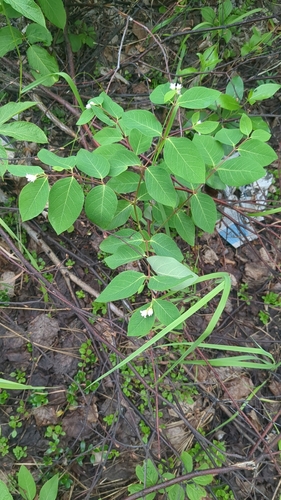
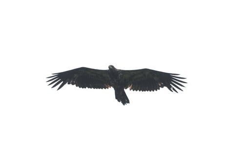
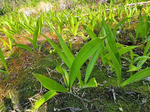
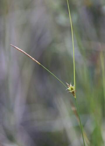
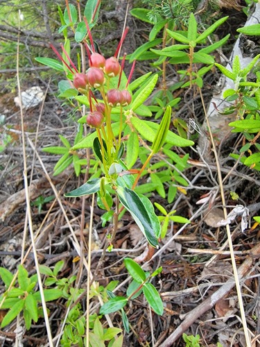
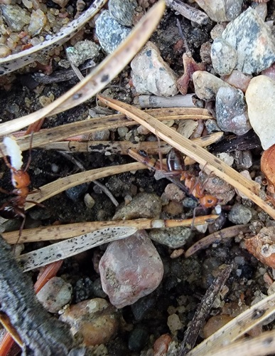
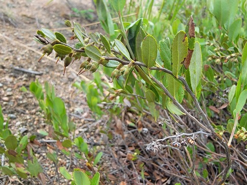
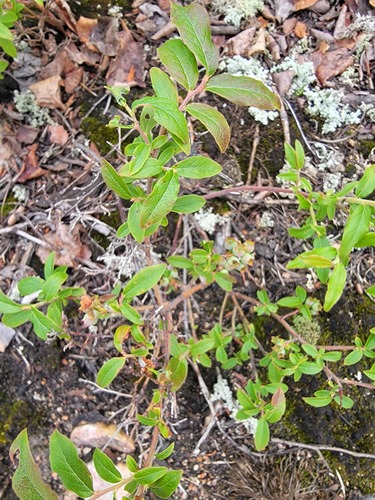
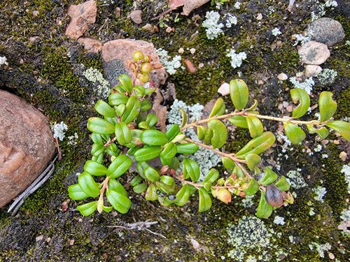
Research-grade observations from iNaturalist (within ~15 mi).
Events
Gallery
Official Identifiers
StatCan — Statistics Canada
- SGC code
- 4623034
- Wikidata
- Q422539
Standard Geographical Classification (SGC) via Wikidata P3012
Sources
- • Wikipedia
- • Wikidata
- • iNaturalist
- • Open-Meteo / sunrise-sunset.org
- • Wikipedia Pageviews API
- • Open Library
- • StatCan — Statistics Canada — Standard Geographical Classification (SGC) via Wikidata P3012