Browse / Canada / New Brunswick / Lerwick
Lerwick
New Brunswickhamlet
Demographic figures from Statistics Canada. Overview below cites Wikipedia and may reference a different year.
City facts
Facts from Wikidata (CC0).
Overview
As a hamlet in New Brunswick, Canada, Lerwick occupies its own corner of the country. Located at 46.855°, -67.616°, Lerwick occupies a temperate portion of the northern hemisphere. Up-to-date population figures for this locality are not available in the open datasets we monitor. The latitude suggests four distinct seasons with warm summers and cold winters. The sections below expand on demographics, weather, terrain, hazards and nearby points of interest using publicly available datasets.
Summary composed automatically from structured open data on this page. See our Terms for details.
History & geography
History
Lerwick is a name with roots in Old Norse and its local descendant, Norn, which was spoken in Shetland until the mid-19th century. The name "Lerwick" means bay of clay. The corresponding Norwegian name is , meaning clay and meaning "bay" or "inlet". Towns with similar names exist in southwestern Norway (, ) and on the Faroe Islands (). Evidence of human settlement in the Lerwick area dates back to the Neolithic (4000–2500 BC) and the Bronze Age (2500–800 BC) known from paleoenvironmental records for human activity and the recovery of artefacts, including a stone axe head submerged in Bressay Sound. Iron Age (800 BC – AD 800) settlement is known at the Broch of Clickimin, which was constructed as early as 400 BC. The first settlement to be known as Lerwick was founded in the 17th century as a herring and white fish seaport to trade with the Dutch fishing fleet. This settlement was on the mainland (west) side of Bressay Sound, a natural harbour with south and north entrances between the Shetland mainland and the island of Bressay. Its collection of wooden huts was burned to the ground twice: once in the 17th century by the residents of Scalloway on the western side of Mainland, then the capital of Shetland, who disapproved of the immoral and drunken activities of the assembled fishermen and sailors; again in 1702 by the French fleet. Fort Charlotte was built in the mid 17th century on Lerwick's waterfront, and permanent stone-built buildings began to be erected around the fort and along the shoreline. The principal concentration of buildings was in the "lanes" area: a steep hillside stretching from the shoreline to Hillhead at the top. Lerwick became capital of the Shetland Islands in 1708, taking over the function from Scalloway. The civil parish of Lerwick had…
Excerpted from the corresponding Wikipedia article (CC BY-SA).
Geography
Coordinates & boundaries from the US Census TIGER/Line shapefiles.
Climate
Air quality
Walkability
Amenities nearby
Wildlife & biodiversity
Earthquake history
Photos
Sights & places nearby
Notable people from here
Nearby places in New Brunswick
- Wolastoqiyik Neqotkuk / Tobique First Nation7.2 mi away
- Licford7.4 mi away
- Arthurette7.5 mi away
- Perth-Andover9.1 mi away
- Sisson Ridge9.4 mi away
- Lower Kintore12.7 mi away
- Grand Falls Portage12.8 mi away
- Drummond12.9 mi away
- Saint-André18.3 mi away
- Bellefleur21.7 mi away
- Upper Knoxford22.9 mi away
- Lower Knoxford25.6 mi away
Geography & sun
Nearby airports
Public attention
Books about this place
Recent natural events nearby
Ground air-quality sensors
Recently spotted species

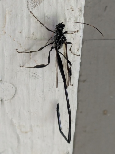
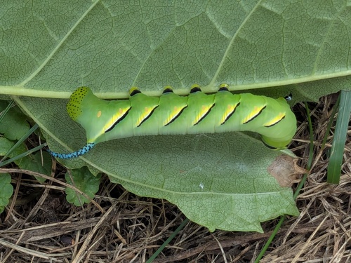
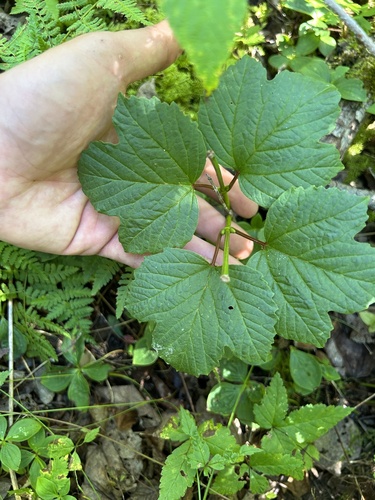
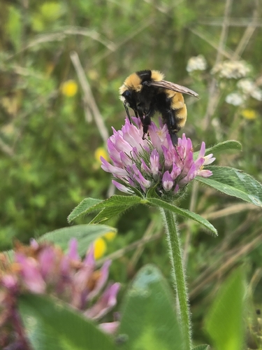

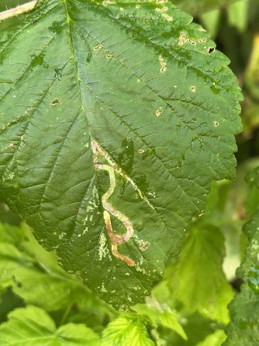
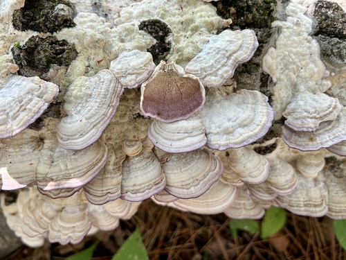
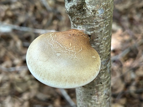
Research-grade observations from iNaturalist (within ~15 mi).
Events
Gallery
Sources
- • Wikipedia
- • Wikidata
- • iNaturalist