Browse / United States / California / Lexington Hills
Lexington Hills
CaliforniaCDP

Lexington Hills
Total population
2,692
Median home value
$1,215,900
Bachelor's+
Median income
$248,750
Demographic figures from US Census Bureau · ACS 5-year estimates. Overview below cites Wikipedia and may reference a different year.
City facts
Facts from Wikidata (CC0).
Overview
Lexington Hills is a census-designated place and an unincorporated area in Santa Clara County, California, United States. The population was 2,492 at the 2020 census. The area is located in the Santa Cruz Mountains, about five miles south of Los Gatos and about 14 miles (23 km) north of Santa Cruz. Lexington Hills is the name assigned by the United States Census Bureau to the area, which actually comprises several small communities, including Redwood Estates, Holy City, Chemeketa Park, and Aldercroft Heights.
Read more on WikipediaHistory & geography
Geography
Lexington Hills is located at . According to the United States Census Bureau, the CDP has a total area of , of which is land and (0.72%) is water. This region experiences warm (but not hot) and dry summers, with no average monthly temperatures above 71.6 °F. According to the Köppen Climate Classification system, Lexington Hills has a warm-summer Mediterranean climate, abbreviated "Csb" on climate maps.
Excerpted from the corresponding Wikipedia article (CC BY-SA).
Demographics & economy
Race & ethnicity
Source: US Census Bureau — American Community Survey, 5-year estimates.
Geography
Coordinates & boundaries from the US Census TIGER/Line shapefiles.
Climate
Current forecast
Forecast for Lexington Hills, CA from NOAA NWS API.
Air quality
Industrial & pollution facilities
Natural hazard risk
Health (adults)
Walkability
Amenities nearby
Wildlife & biodiversity
Schools
Earthquake history
Photos
Sights & places nearby
Notable people from here


People born within ~10 km, from Wikidata (CC0). Click any name for their Wikipedia article.
Nearby places in California
- Lompico4.7 mi away
- Ben Lomond7.8 mi away · pop. 6,858
- Mount Hermon8.3 mi away
- Felton9.7 mi away · pop. 4,093
- Paradise Park11 mi away
- Pasatiempo11 mi away
- Pleasure Point13.8 mi away
- Los Altos Hills16.6 mi away · pop. 8,377
- Amesti17.9 mi away · pop. 2,818
- East Foothills18.2 mi away · pop. 7,139
- La Honda18.4 mi away
- Portola Valley19.6 mi away
Geography & sun
Elevation, sunrise/sunset and daylight from Open-Meteo. Solar climatology from NASA POWER.
Nearby airports
Public attention
Pageview totals from the Wikimedia Pageviews API.
Books about Lexington Hills
![Three years in California [1846-1849]](https://covers.openlibrary.org/b/id/6119339-M.jpg)


Search results from Open Library.
Recent natural events nearby
- Wildfire Timber, Monterey, CaliforniaWildfires · 2026-08-09 · 67 mi
- Wildfire Plaskett, Monterey, CaliforniaWildfires · 2026-08-26 · 92 mi
- Wildfire GANN, Calaveras, CaliforniaWildfires · 2026-08-03 · 94 mi
- Wildfire DOME, Mariposa, CaliforniaWildfires · 2026-09-15 · 133 mi
- Wildfire FELIZ, Mendocino, CaliforniaWildfires · 2026-08-01 · 142 mi
- Wildfire LUCAS, Lake, CaliforniaWildfires · 2026-09-10 · 153 mi
- Wildfire LUCAS, Lake, CaliforniaWildfires · 2026-09-10 · 154 mi
- Wildfire PLAINS, San Luis Obispo, CaliforniaWildfires · 2026-08-12 · 164 mi
Wildfires, storms and other events from NASA EONET (last 12 months, within 250 mi).
Ground air-quality sensors
Recently spotted species
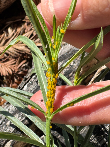
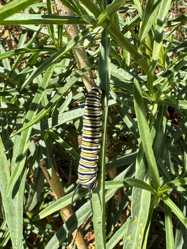





Research-grade observations from iNaturalist (within ~15 mi).
Nearest stream gauge
Events
Gallery
Sources
- • Wikipedia
- • US Census Bureau (ACS 5-year estimates)
- • NOAA National Weather Service
- • Wikidata
- • iNaturalist
- • Open-Meteo / sunrise-sunset.org
- • Wikipedia Pageviews API
- • Open Library
- • NASA EONET