Browse / United States / California / Loma Mar
Loma Mar
CaliforniaCDP

Loma Mar
Total population
309
Median home value
$1,073,100
Bachelor's+
Median income
$250,001
Air quality index
Demographic figures from US Census Bureau · ACS 5-year estimates. Overview below cites Wikipedia and may reference a different year.
- Heat Advisory · ModerateHeat Advisory issued October 1 at 9:43AM PDT until October 4 at 10:00PM PDT by NWS San Francisco CA
Source: NOAA National Weather Service.
City facts
Facts from Wikidata (CC0).
Overview
Loma Mar is a census-designated place (CDP) in San Mateo County, California, United States. It is near San Mateo County Memorial Park on Pescadero Creek Road and is served by area code 650. Loma Mar is between the towns of Pescadero and La Honda, situated in the Santa Cruz Mountains in the western part of the San Francisco Peninsula. The United States Postal Service has assigned it ZIP Code 94021. As of the census of 2020, there were 134 residents in the CDP. Loma Mar is home to the YMCA's Camp Loma Mar, Redwood Glen Camp and Conference Center as well as a small number of businesses and services including the Loma Mar Store, a post office, and a fire station run by volunteers.
Read more on WikipediaHistory & geography
Geography
The town is located within a redwood forest, and is traversed by the Pescadero Creek. According to the United States Census Bureau, the CDP covers an area of 1.7 square miles (4.5 km), all land.
Excerpted from the corresponding Wikipedia article (CC BY-SA).
Demographics & economy
Race & ethnicity
Source: US Census Bureau — American Community Survey, 5-year estimates.
Geography
Coordinates & boundaries from the US Census TIGER/Line shapefiles.
Climate
Current forecast
Forecast for Loma Mar, CA from NOAA NWS API.
Air quality
Current readings from Open-Meteo Air Quality API (Copernicus CAMS European reanalysis).
Industrial & pollution facilities
Natural hazard risk
Health (adults)
Age-adjusted prevalence estimates from CDC PLACES (latest release).
Walkability
Amenities nearby
Wildlife & biodiversity
Most-observed species
- Dark-eyed JuncoJunco hyemalis (Linnaeus, 1758) · Aves21,143
- Chestnut-backed ChickadeePoecile rufescens (J.K.Townsend, 1837) · Aves18,413
- Spotted TowheePipilo maculatus Swainson, 1827 · Aves17,210
- California/Woodhouse's Scrub-JayAphelocoma californica (Vigors, 1839) · Aves16,152
- Anna's HummingbirdCalypte anna (R.Lesson, 1829) · Aves16,099
- American CrowCorvus brachyrhynchos C.L.Brehm, 1822 · Aves15,092
- Acorn WoodpeckerMelanerpes formicivorus (Swainson, 1827) · Aves14,496
- Steller's JayCyanocitta stelleri (Gmelin, 1788) · Aves14,392
Citizen-science & research observations from the Global Biodiversity Information Facility (GBIF).
Schools
Earthquake history
Photos
Sights & places nearby
Notable people from here
Nearby places in California
- La Honda4.3 mi away
- Pescadero4.5 mi away
- Portola Valley7.8 mi away
- Los Altos Hills11.3 mi away · pop. 8,377
- North Fair Oaks15.4 mi away
- Lompico17.2 mi away
- Ben Lomond17.5 mi away · pop. 6,858
- El Granada19.4 mi away
- Felton19.8 mi away · pop. 4,093
- Mount Hermon20.1 mi away
- Paradise Park22.9 mi away
- Pasatiempo23.6 mi away
Geography & sun
Elevation, sunrise/sunset and daylight from Open-Meteo. Solar climatology from NASA POWER.
Nearby airports
Public attention
Pageview totals from the Wikimedia Pageviews API.
Books about Loma Mar
Search results from Open Library.
Recent natural events nearby
- Wildfire Timber, Monterey, CaliforniaWildfires · 2026-08-09 · 79 mi
- Wildfire GANN, Calaveras, CaliforniaWildfires · 2026-08-03 · 102 mi
- Wildfire Plaskett, Monterey, CaliforniaWildfires · 2026-08-26 · 106 mi
- Wildfire FELIZ, Mendocino, CaliforniaWildfires · 2026-08-01 · 128 mi
- Wildfire LUCAS, Lake, CaliforniaWildfires · 2026-09-10 · 141 mi
- Wildfire LUCAS, Lake, CaliforniaWildfires · 2026-09-10 · 141 mi
- Wildfire DOME, Mariposa, CaliforniaWildfires · 2026-09-15 · 149 mi
- Wildfire PLAINS, San Luis Obispo, CaliforniaWildfires · 2026-08-12 · 181 mi
Wildfires, storms and other events from NASA EONET (last 12 months, within 250 mi).
Ground air-quality sensors
Recently spotted species
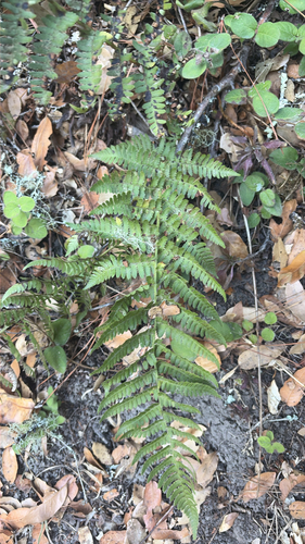
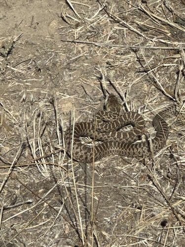
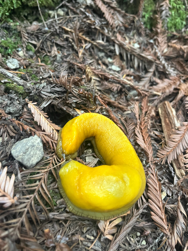
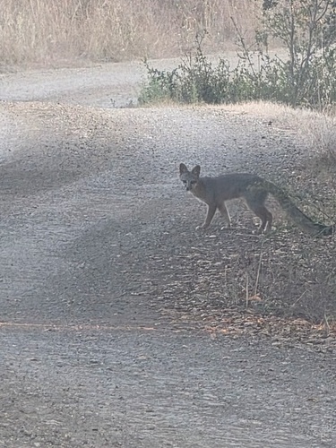
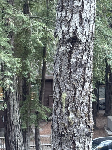
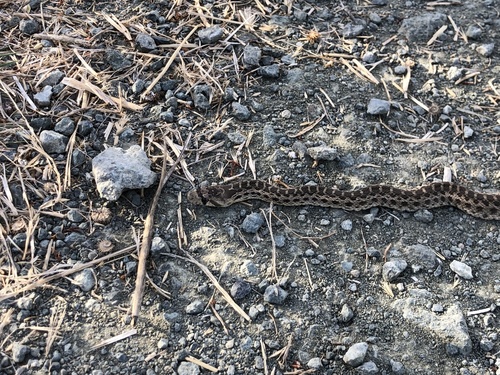
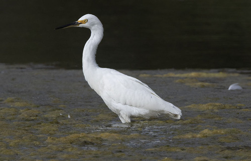
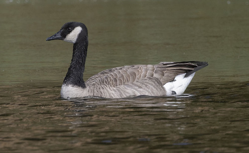
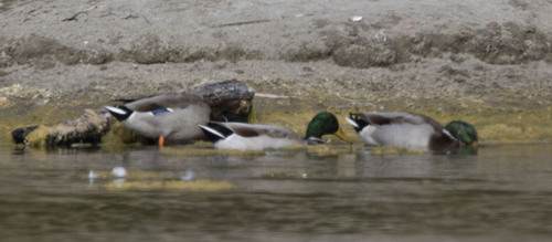
Research-grade observations from iNaturalist (within ~15 mi).
Nearest stream gauge
Events
Gallery
Sources
- • Wikipedia
- • US Census Bureau (ACS 5-year estimates)
- • NOAA National Weather Service
- • Wikidata
- • Open-Meteo Air Quality (CAMS)
- • GBIF (Global Biodiversity Information Facility)
- • iNaturalist
- • CDC PLACES
- • Open-Meteo / sunrise-sunset.org
- • Wikipedia Pageviews API
- • Open Library
- • NASA EONET