Browse / United States / California / Long Beach
Long Beach
Californiacity

Long Beach
Total population
450,917
Median home value
$849,500
Bachelor's+
Median income
$91,318
Founded
1888
Air quality index
Demographic figures from US Census Bureau · ACS 5-year estimates. Overview below cites Wikipedia and may reference a different year.
- Heat Advisory · ModerateHeat Advisory issued October 16 at 11:03AM PDT until October 17 at 8:00PM PDT by NWS Los Angeles/Oxnard CA
Source: NOAA National Weather Service.
City facts
Facts from Wikidata (CC0).
Overview
Long Beach is a coastal city in southeastern Los Angeles County, California, United States. It is the 44th-most populous city in the United States, with a population of 450,469 as of 2025. A charter city, Long Beach is the 7th-most populous city in California, the 2nd-most populous city in Los Angeles County, and the largest city in California that is not a county seat.
Read more on WikipediaHistory & geography
History
Indigenous people have lived in coastal Southern California for over 10,000 years, and several successive cultures have inhabited the present-day area of Long Beach. By the 16th-century arrival of Spanish explorers, the dominant group was the Tongva, who had established at least three major settlements within the present-day city. Tevaaxa'anga was an inland settlement near the Los Angeles River, while Ahwaanga and Povuu'nga were coastal villages. Povuu'nga was particularly important to the Tongva, not only as a regional trading center and hub for fishermen, but for its deep ceremonial significance, being understood as their place of emergence as a people from which their lives began. In 1784, the Spanish Empire's King Carlos III granted Rancho Los Nietos to Spanish soldier Manuel Nieto. The Rancho Los Cerritos and Rancho Los Alamitos were divided from this territory. The boundary between the two ranchos ran through the center of Signal Hill on a southwest to northeast diagonal. A portion of western Long Beach was originally part of the Rancho San Pedro. Its boundaries were in dispute for years, due to flooding changing the Los Angeles River boundary between Rancho San Pedro and Rancho Los Nietos. By 1805, what had been the major Tongva village of Puvunga was thoroughly depleted of villagers, most of whom were brought to Mission San Gabriel for conversion and as a labor force. Many villagers died at the mission, which had a high rate of death, particularly among children, attributed to many factors like diseases that spread quickly in the close quarters of the mission's walls, as well as torture, malnourishment, and overworking. In 1843, Juan Temple bought Rancho Los Cerritos, having arrived in California in 1827 from New England. He built what is now known as the…
Geography
Long Beach is about south of downtown Los Angeles. According to the United States Census Bureau, the city has a total area of , of which is land and (34.9%) is water. According to data analysis provided by the NWS, The annual average temperature of Long Beach is , of which August is the hottest month with an average temperature of , while December is the coldest month with an average temperature of . The annual precipitation in Long Beach is , of which the precipitation from December to March of the following year accounts for 81% of the whole year. | source 2 = National Weather Service }} Long Beach is composed of many different neighborhoods. Some neighborhoods are named after thoroughfares, while others are named for nearby parks, schools, or city features. Long Beach suffers from some of the worst air pollution in the entire United States. Most of the city is in proximity to the twin ports of Los Angeles and Long Beach, and the prevailing westerly-to-west-south-westerly winds bring a large portion of the twin ports' air pollution directly into Long Beach before dispersing it northward then eastward. Heavy pollution sources at the ports include the ships themselves, which burn high-sulfur, high-soot-producing bunker fuel to maintain internal electrical power while docked, as well as heavy diesel pollution from drayage trucks at the ports, and short-haul tractor-trailer trucks ferrying cargo from the ports to inland warehousing, rail yards, and shipping centers. Long-term average levels of toxic air pollutants (and the corresponding carcinogenic risk they create) can be two to three times higher in and around Long Beach, and in downwind areas to the east, than in other parts of the Los Angeles metropolitan area, such as the Westside, San Fernando Valley, or…
Excerpted from the corresponding Wikipedia article (CC BY-SA).
Demographics & economy
Race & ethnicity
Source: US Census Bureau — American Community Survey, 5-year estimates.
Geography
Coordinates & boundaries from the US Census TIGER/Line shapefiles.
Climate
Current forecast
Forecast for Long Beach, CA from NOAA NWS API.
Air quality
Current readings from Open-Meteo Air Quality API (Copernicus CAMS European reanalysis).
Industrial & pollution facilities
Natural hazard risk
Health (adults)
Age-adjusted prevalence estimates from CDC PLACES (latest release).
Walkability
Amenities nearby
Wildlife & biodiversity
Schools
Largest nearby schools
- Polytechnic HighHigh · Long Beach · 3,952 students · 23.7:1 ratio
- Paramount HighHigh · Paramount · 3,737 students · 20.5:1 ratio
- Wilson HighHigh · Long Beach · 3,515 students · 23.8:1 ratio
- Millikan HighHigh · Long Beach · 3,311 students · 24:1 ratio
- Lakewood HighHigh · Lakewood · 2,761 students · 22.3:1 ratio
- San Pedro Senior HighHigh · San Pedro · 2,582 students · 21.9:1 ratio
- Mayfair HighHigh · Lakewood · 2,578 students · 22.6:1 ratio
- Phineas Banning Senior HighHigh · Wilmington · 2,486 students · 19.9:1 ratio
Public K–12 schools within ~10 mi from Urban Institute Education Data Portal (NCES Common Core of Data, 2022).
Earthquake history
Most recent
- M 2.56 — 2026-09-1327 km SSE of Malibu, CA
- M 2.65 — 2026-09-124 km E of Lennox, CA
- M 3.31 — 2026-09-1226 km ESE of Avalon, CA
- M 2.95 — 2026-09-1226 km ESE of Avalon, CA
- M 2.54 — 2026-09-1226 km ESE of Avalon, CA
- M 2.62 — 2026-09-125 km WNW of Willowbrook, CA
Events from the USGS Earthquake Catalog (global) (FDSN Event Web Service).
Photos
Sights & places nearby
Notable people from here


People born within ~10 km, from Wikidata (CC0). Click any name for their Wikipedia article.
Nearby places in California
- Los Alamitos6.2 mi away · pop. 11,794
- Hawaiian Gardens6.4 mi away · pop. 13,691
- Artesia7.8 mi away
- Cypress7.9 mi away · pop. 49,498
- Cerritos8.3 mi away · pop. 47,867
- Alondra Park12.2 mi away
- Florence-Graham13.7 mi away · pop. 60,690
- East Whittier14.3 mi away
- Commerce14.8 mi away · pop. 11,993
- Palos Verdes Estates14.8 mi away · pop. 12,925
- Del Aire14.9 mi away
- Hermosa Beach14.9 mi away
Geography & sun
Elevation, sunrise/sunset and daylight from Open-Meteo. Solar climatology from NASA POWER.
Nearby airports
Public attention
Pageview totals from the Wikimedia Pageviews API.
Books about Long Beach


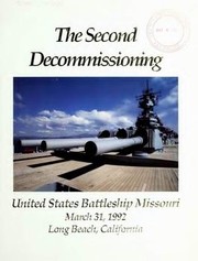
Search results from Open Library.
Recent natural events nearby
- Wildfire BOUQUET, Los Angeles, CaliforniaWildfires · 2026-10-03 · 56 mi
- Wildfire RIDGE, Los Angeles, CaliforniaWildfires · 2026-08-07 · 79 mi
- Wildfire BUZZARD, Kern, CaliforniaWildfires · 2026-08-05 · 88 mi
- Wildfire CYRUS, Kern, CaliforniaWildfires · 2026-10-09 · 133 mi
- Wildfire PLAINS, San Luis Obispo, CaliforniaWildfires · 2026-08-12 · 154 mi
- Cyclone RachelSevere Storms · 2026-10-11 · 159 mi
- Prescribed Fire CRAWFORD CORRAL RX, Tulare, CaliforniaWildfires · 2026-09-19 · 200 mi
- Wildfire Plaskett, Monterey, CaliforniaWildfires · 2026-08-26 · 235 mi
Wildfires, storms and other events from NASA EONET (last 12 months, within 250 mi).
Ground air-quality sensors
Recently spotted species
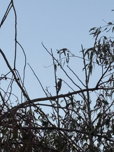
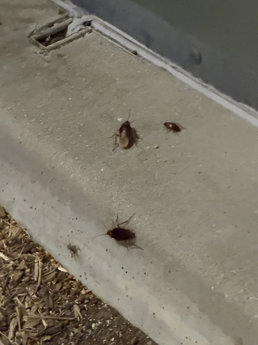
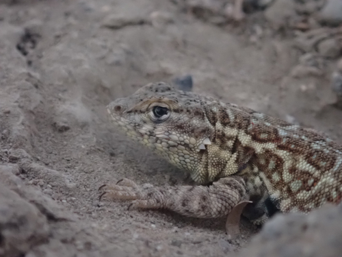
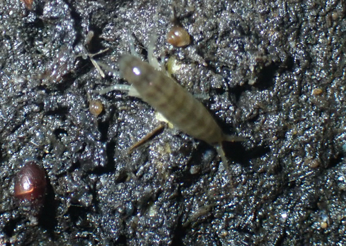
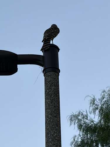
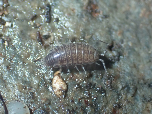
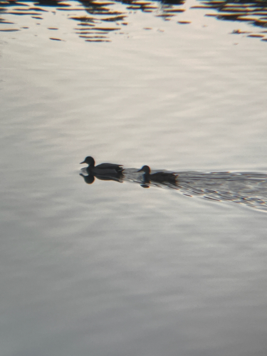
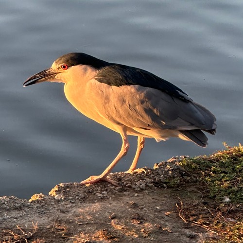
Research-grade observations from iNaturalist (within ~15 mi).
Nearest stream gauge
Events
Notable, recurring, and historical events associated with Long Beach, sourced from Wikidata.
- 2020 AVP Pro Beach Volleyball TourJul 17, 2020sporting event
- Jan 1, 2014
- Jun 30, 1972
Source: Wikidata (CC0).
Gallery
Sources
- • Wikipedia
- • US Census Bureau (ACS 5-year estimates)
- • NOAA National Weather Service
- • Wikidata
- • Open-Meteo Air Quality (CAMS)
- • USGS Earthquake Catalog (global feed)
- • NCES via Urban Institute Education Data Portal
- • iNaturalist
- • CDC PLACES
- • Open-Meteo / sunrise-sunset.org
- • Wikipedia Pageviews API
- • Open Library
- • NASA EONET