Browse / Canada / Quebec / Longueuil
Longueuil
Quebeccity

Longueuil
Total population
254,483
Founded
1848
Demographic figures from Statistics Canada. Overview below cites Wikipedia and may reference a different year.
City facts
Facts from Wikidata (CC0).
Overview
Longueuil is a city in the province of Quebec, Canada. It is the seat of the Montérégie administrative region and the central city of the urban agglomeration of Longueuil. It sits on the south shore of the Saint Lawrence River directly across from Montreal. The population as of the Canada 2021 Census totalled 254,483, making it Montreal's second largest suburb, the fifth most populous city in Quebec and twentieth largest in Canada.
Read more on WikipediaHistory & geography
History
The territory of New France was divided into seigneuries in order to ensure the colony's defence. Longueuil was founded in 1657 by Charles Le Moyne, a merchant from Ville-Marie (present day Montreal), as a seigneurie. According to Abbé Faillon, Charles Le Moyne, lord of the area starting in 1657, named Longueuil after the village of Longueil (note slightly different spelling) which is today the seat of a canton in the district of Dieppe in his homeland of Normandy. His son, Charles Le Moyne de Longueuil, built Fort Longueuil as his fortified residence. It was constructed of stone between 1685 and 1690 and had four towers. Fort Longueuil was believed to be occupied by American troops during the American Revolutionary War. It was subsequently occupied by the British. It was demolished in 1810 due to its poor condition. The archaeological remains of Fort Longueuil were recognized as a National Historic Site of Canada on May 25, 1923. The site extends beneath the present-day Saint-Antoine-de-Padoue Cathedral. The seigneurial system ended in 1845 and Longueuil was turned into a parish municipality named Saint-Antoine-de-Longueuil. In 1848, a portion detached from the parish and officially established as the village of Longueuil. This same village became a town in 1874, and then a city in 1920. Musician Paul Pratt notably served as the city's mayor from 1935 to 1966. Longueuil's city limits expanded for the first time in 1961 when it merged with Montréal-Sud, and again in 1969 when it merged with Ville Jacques-Cartier. In both cases, Longueuil was chosen as the name of the new city. On January 1, 2002, as part of the 2000–2006 municipal reorganization in Quebec, the provincial government amalgamated the former Longueuil with Boucherville, Brossard, Greenfield Park,…
Geography
Longueuil occupies 115.59 square kilometres (44.6 sq mi) of land. The city is bordered by the cities of Saint-Lambert to the west, Brossard to the southwest, Boucherville to the northeast, Saint-Bruno-de-Montarville to the east, and the Saint Lawrence River and Montreal to the northwest. The city of Longueuil is located approximately 7 kilometres (5 mi) east of Montreal on the south shore of the Saint Lawrence River. Longueuil is located in the Saint Lawrence River valley, and is a vast plain. Areas near the river were originally swamp land with mixed forest, and later prime agricultural land. Agricultural land still exists in the portions of the city furthest from the river. The city of Longueuil also includes Île Charron, a small island in the Saint Lawrence River, and part of the Boucherville Islands. Street addresses in Longueuil increase west and east from the Chemin de Chambly, with suffixes of "Ouest" and "Est" used on east–west streets that cross it, and south from the Saint Lawrence River. (As in Montreal, the local cardinal directions are skewed to align with the shore of the river, and local grid "north" is closer to geographic northwest.) Like Montreal, Longueuil is classified as humid continental or hemiboreal (Köppen climate classification Dfb). Longueuil has long winters, lasting from November to March, short springs during April and May, average summers, lasting from June to August, and short autumns during September and October.
Excerpted from the corresponding Wikipedia article (CC BY-SA).
Geography
Coordinates & boundaries from the US Census TIGER/Line shapefiles.
Climate
Air quality
Walkability
Amenities nearby
Wildlife & biodiversity
Most-observed species
- Northern CardinalCardinalis cardinalis (Linnaeus, 1758) · Aves93,711
- Black-capped ChickadeePoecile atricapillus (Linnaeus, 1766) · Aves89,249
- American CrowCorvus brachyrhynchos C.L.Brehm, 1822 · Aves80,330
- American RobinTurdus migratorius Linnaeus, 1766 · Aves76,821
- Downy WoodpeckerDryobates pubescens (Linnaeus, 1766) · Aves68,150
- Ring-billed GullLarus delawarensis Ord, 1815 · Aves67,869
- American GoldfinchSpinus tristis (Linnaeus, 1758) · Aves65,102
- Canada Goose (canadensis Group)Branta canadensis (Linnaeus, 1758) · Aves64,239
Citizen-science & research observations from the Global Biodiversity Information Facility (GBIF).
Earthquake history
Most recent
- M 2.7 — 2025-10-144 km NNW of Chazy, New York
- M 2.6 — 2024-10-027 km ENE of Chertsey, Canada
- M 3.8 — 2024-09-015 km SE of Pierreville, Canada
- M 2.8 — 2024-07-2911 km SSW of Sainte-Martine, Canada
- M 2.5 — 2024-06-0510 km S of Franklin, Canada
- M 3.1 — 2024-02-016 km WNW of Huntingdon, Canada
Events from the USGS Earthquake Catalog (global) (FDSN Event Web Service).
Photos
Sights & places nearby
Notable people from here
Nearby places in Quebec
- Saint-Bruno-de-Montarville6.1 mi away · pop. 26,394
- Montréal-Est7.7 mi away
- Sainte-Julie7.8 mi away · pop. 29,881
- Candiac9.7 mi away · pop. 21,500
- Saint-Mathias-sur-Richelieu10.3 mi away
- Varennes11.2 mi away · pop. 21,433
- McMasterville11.5 mi away · pop. 5,936
- Richelieu11.8 mi away · pop. 5,236
- Belœil12.9 mi away · pop. 24,104
- Dollard-des-Ormeaux16.8 mi away
- Saint-Charles-sur-Richelieu17.8 mi away
- Châteauguay17.8 mi away
Geography & sun
Elevation, sunrise/sunset and daylight from Open-Meteo. Solar climatology from NASA POWER.
Nearby airports
Public attention
Pageview totals from the Wikimedia Pageviews API.
Books about Longueuil

Search results from Open Library.
Recent natural events nearby
Ground air-quality sensors
Recently spotted species
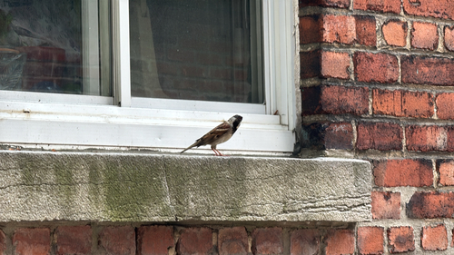
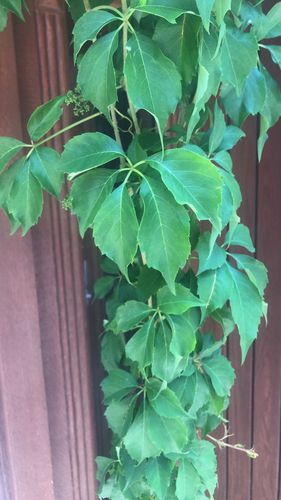
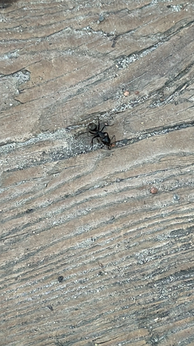
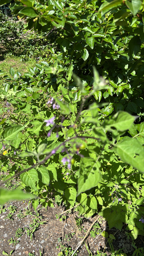
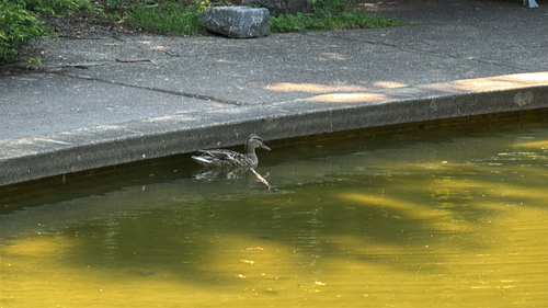
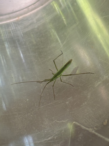
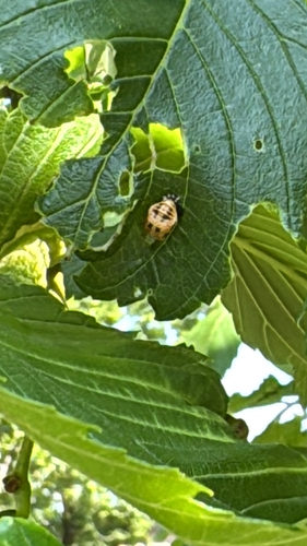
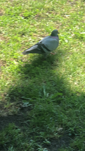
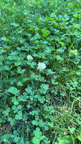
Research-grade observations from iNaturalist (within ~15 mi).
Events
Gallery
Geotagged photos within ~6 miles of Longueuil, from Wikimedia Commons contributors.
 0 mi
 0 mi
 0.1 mi
 0.7 mi
 0.7 mi
 0.8 mi
 0.8 mi
 0.9 mi
 1 mi
 1 mi
 1 mi
 1.1 mi
 1.1 mi
 1.1 mi
 1.1 mi
 1.2 mi
 1.2 mi
 1.2 mi
 1.2 mi
 1.2 mi
 1.2 mi
 1.2 mi
 1.3 mi
 1.4 mi
Photos via Wikimedia Commons — see each image page for license & attribution.
Official Identifiers
StatCan — Statistics Canada
- SGC code
- 2458227
- Population (Wikidata)
- 254,483
- Wikidata
- Q139398
Standard Geographical Classification (SGC) via Wikidata P3012
Sources
- • Wikipedia
- • Wikimedia Commons
- • Wikidata
- • USGS Earthquake Catalog (global feed)
- • GBIF (Global Biodiversity Information Facility)
- • iNaturalist
- • Open-Meteo / sunrise-sunset.org
- • Wikipedia Pageviews API
- • Open Library
- • StatCan — Statistics Canada — Standard Geographical Classification (SGC) via Wikidata P3012