Browse / Canada / Saskatchewan / Loreburn
Loreburn
Saskatchewanvillage
Demographic figures from Statistics Canada. Overview below cites Wikipedia and may reference a different year.
City facts
Overview
Loreburn, a village in Saskatchewan, Canada, forms part of the country's settled landscape. The settlement sits at 51.230°, -106.598°, a cool-temperate location in the northern hemisphere. No reliable population estimate is published for this entry in the open data we rely on. Climatically, locations at this latitude tend to experience long cool seasons and short, mild summers. The location receives about 1,340 kWh/m² of solar irradiance per year and sunshine for roughly 52% of daylight hours. Read on for charts and tables covering demographics, climate, hazards, schools, wildlife and other open-data indicators for Loreburn.
Summary composed automatically from structured open data on this page. See our Terms for details.
History & geography
Geography
Coordinates & boundaries from the US Census TIGER/Line shapefiles.
Climate
Air quality
Walkability
Amenities nearby
Wildlife & biodiversity
Most-observed species
- Black-billed MagpiePica hudsonia (Sabine, 1823) · Aves441
- Canada Goose (canadensis Group)Branta canadensis (Linnaeus, 1758) · Aves429
- MallardAnas platyrhynchos Linnaeus, 1758 · Aves414
- Common RavenCorvus corax Linnaeus, 1758 · Aves357
- Common GoldeneyeBucephala clangula (Linnaeus, 1758) · Aves314
- Rock PigeonColumba livia J.F.Gmelin, 1789 · Aves289
- Bald EagleHaliaeetus leucocephalus (Linnaeus, 1766) · Aves255
- Common MerganserMergus merganser Linnaeus, 1758 · Aves238
Citizen-science & research observations from the Global Biodiversity Information Facility (GBIF).
Earthquake history
Events from the USGS Earthquake Catalog (global) (FDSN Event Web Service).
Photos
Sights & places nearby
Notable people from here
Nearby places in Saskatchewan
- Sturgeon Lake150.4 mi away
- Big River163.2 mi away · pop. 1,140
- Petrykozy4704.5 mi away
- Rudzisko4705.1 mi away · pop. 55
- Giełzów4705.1 mi away · pop. 400
- Kamienna Wola4705.2 mi away · pop. 330
- Bernów4705.7 mi away · pop. 160
- Skrzyszów4706 mi away · pop. 200
- Maleniec4707.4 mi away · pop. 150
- Wyszyna Machorowska4708.9 mi away · pop. 110
- Gracuch4709 mi away · pop. 190
- Komaszyce4710.1 mi away · pop. 180
Geography & sun
Elevation, sunrise/sunset and daylight from Open-Meteo. Solar climatology from NASA POWER.
Nearby airports
Public attention
Books about this place
Recent natural events nearby
Ground air-quality sensors
Recently spotted species
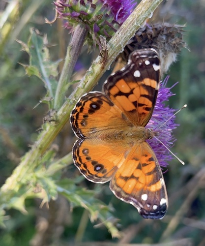
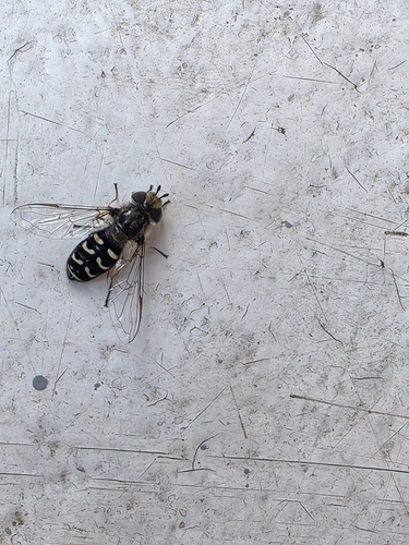
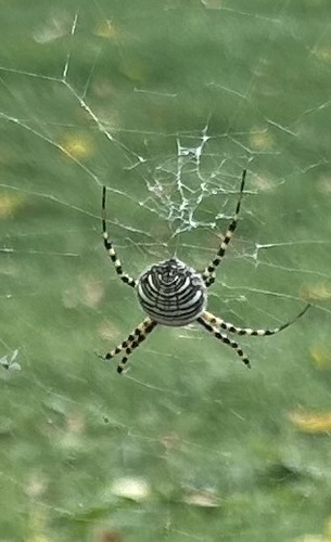
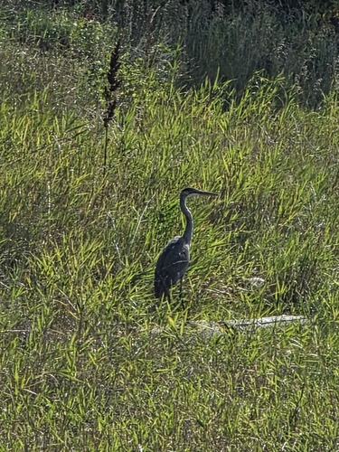
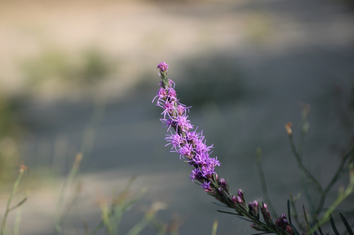
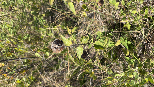
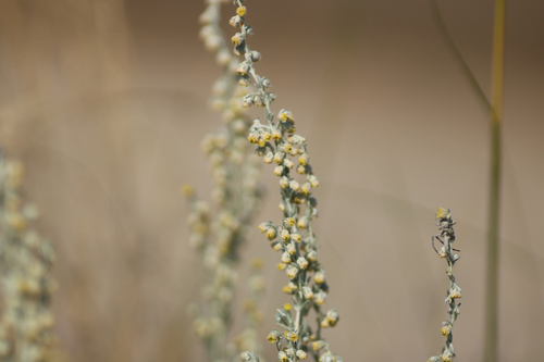
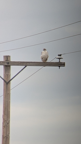
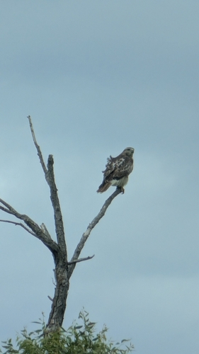
Research-grade observations from iNaturalist (within ~15 mi).
Events
Gallery
Official Identifiers
StatCan — Statistics Canada
- SGC code
- 4711021
- Wikidata
- Q2085642
Standard Geographical Classification (SGC) via Wikidata P3012
Sources
- • USGS Earthquake Catalog (global feed)
- • GBIF (Global Biodiversity Information Facility)
- • iNaturalist
- • Open-Elevation
- • Open-Meteo / sunrise-sunset.org
- • StatCan — Statistics Canada — Standard Geographical Classification (SGC) via Wikidata P3012