Browse / Canada / Newfoundland and Labrador / Maberly
Maberly
Newfoundland and Labradorhamlet
Demographic figures from Statistics Canada. Overview below cites Wikipedia and may reference a different year.
City facts
Overview
Maberly is a tiny coastal hamlet at the end of route 238-II on the Bonavista Peninsula on the island of Newfoundland with a permanent year-round population of about 20. In the 1921 census, there were 83 inhabitants. It has long been associated with nearby Elliston, being about 3 km from Elliston Centre by road, and was officially annexed by that town in the 1960s. Driving from Elliston Centre to Maberly, you pass through Sandy Cove and the Neck.
Read more on WikipediaHistory & geography
Geography
Maberly is located by sea between the towns of Little Catalina and Elliston. Among the named coves in Maberly as you enter the community are Thomas' Cove (), Chris' Cove () and Charlie's Cove (). There is a small cove between Chris' Cove and Charlie's Cove which never seems to have been named () — at least not a name which stuck. Thomas' Cove, just off the coast of which lies South (Suder) Bird Island (), is the broadest of the coves and its shore is covered with relatively large beach stones; between Thomas' Cove and Chris' Cove there are cliffs and a small gulch; Chris' Cove, into which Muddy Brook empties, has a broad, flat bedrock formation which slopes into the ocean and received a government-sponsored slipway which fell into disrepair in the 1990s and has been removed; the aforementioned 'nameless cove' is on the other side of a tiny point of land; then there is a headland between this nameless cove and Charlie's Cove called The Gaze or often just over below. A gravel road climbs a much larger headland to the other side of Charlie's Cove, passing a steep-sided gulch and then peters out into the wilderness after several hundred metres and several houses. It is this road which now forms the beginning of the Little Catalina-Maberly walking trail. The coast rises to relatively steep cliffs with no harbour possibilities for several kilometres. Another rough road leaves the community on the inland side and quickly branches, the shorter branch being the gravel pit road in whose gravel pit several demolition derbies have been held and a much longer road which brings you out into Duke's Land (named for a man by the name of Marmaduke, not a nobleman). The brook which flows through the community is still called Muddy Brook, reminiscent of the community's former name,…
Excerpted from the corresponding Wikipedia article (CC BY-SA).
Geography
Coordinates & boundaries from the US Census TIGER/Line shapefiles.
Climate
Air quality
Walkability
Amenities nearby
Wildlife & biodiversity
Earthquake history
Photos
Sights & places nearby
Notable people from here


People born within ~10 km, from Wikidata (CC0). Click any name for their Wikipedia article.
Nearby places in Newfoundland and Labrador
Geography & sun
Elevation, sunrise/sunset and daylight from Open-Meteo. Solar climatology from NASA POWER.
Nearby airports
Public attention
Pageview totals from the Wikimedia Pageviews API.
Books about this place
Recent natural events nearby
Ground air-quality sensors
Recently spotted species
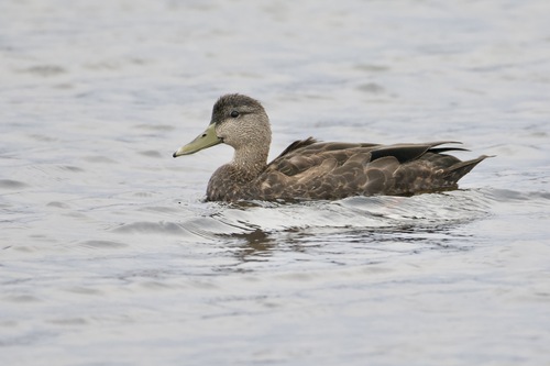
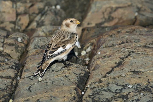
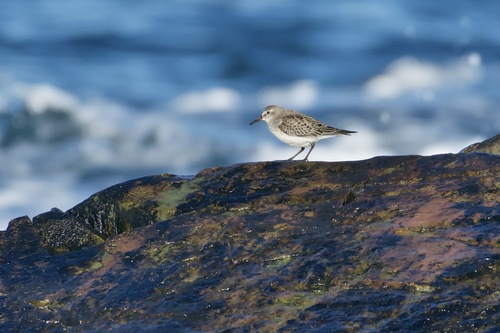
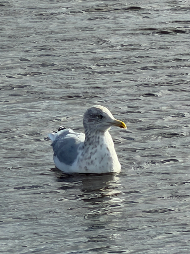
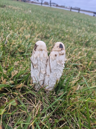
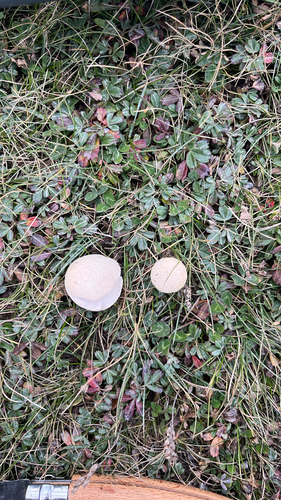
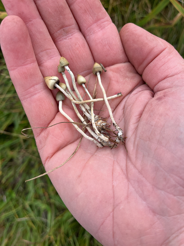
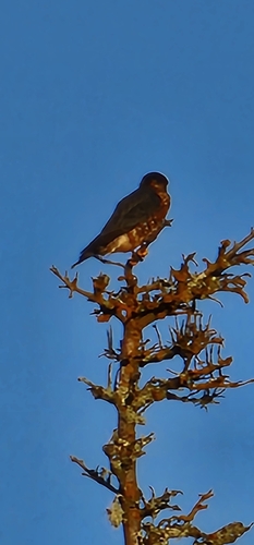
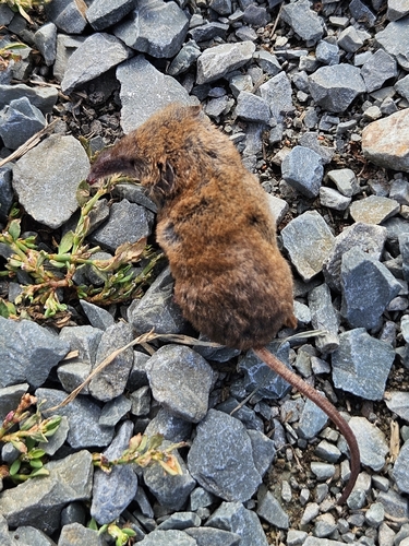
Research-grade observations from iNaturalist (within ~15 mi).
Events
Gallery
Sources
- • Wikipedia
- • Wikidata
- • iNaturalist
- • Open-Meteo / sunrise-sunset.org
- • Wikipedia Pageviews API