Browse / United States / California / Madera
Madera
Californiacity

Madera
Total population
69,097
Median home value
$394,200
Bachelor's+
Median income
$60,368
Demographic figures from US Census Bureau · ACS 5-year estimates. Overview below cites Wikipedia and may reference a different year.
- Heat Advisory · ModerateHeat Advisory issued October 1 at 9:30AM PDT until October 4 at 10:00PM PDT by NWS Hanford CA
Source: NOAA National Weather Service.
City facts
Facts from Wikidata (CC0).
Overview
Madera is a city in and the county seat of Madera County, located in the San Joaquin Valley of California. Founded in 1876 as a timber settlement at the terminus of a major log flume, the city grew around the lumber trade before transitioning to an agriculture-based economy during the 20th century. Irrigation from the San Joaquin River and nearby canals transformed the surrounding plains into fertile farmland that now supports vineyards, nut orchards, and row crops.
Read more on WikipediaHistory & geography
History
Madera was founded in 1876 as a lumber town at the terminus of a flume constructed by the California Lumber Company. The town's name, meaning "wood" in Spanish, reflected its timber-based economy. In October 1876, company president William H. Thurman auctioned the first town lots, and Capt. Russell Perry Mace erected Madera's first building—the Yosemite Hotel—to serve travelers bound for Yosemite Valley. A sixty-mile wooden V-flume carried rough-cut lumber from sawmills in the Sierra Nevada to Madera's railroad planing mill. The first boards traveled the flume in 1877, the same year Madera's post office opened. Thousands gathered on October 27, 1900, to celebrate its completion with a citywide barbecue.—produced up to 50 million board feet of lumber per year, shipping products statewide by rail. Periodic fires plagued the mills, including a destructive 1922 blaze at the Sugar Pine camp, but operations continued until the onset of the Great Depression. Collapsing markets forced the company to end production in 1931; by 1933 its assets were liquidated, concluding nearly six decades of timber-driven growth. As the timber industry declined, agriculture became Madera's economic foundation. Farming had begun in the late nineteenth century, but the 1930s marked a decisive transition from sawmills to irrigated agriculture. During the Great Depression, many displaced lumber workers joined migrant farm laborers—including Dust Bowl refugees—who cultivated the region's orchards and vineyards. By the 1940s, Madera County's fruit and nut output rose sharply—up 27 percent from 1940 to 1945—as growers expanded vineyards, fig orchards, and peach groves, later diversifying into almonds, pistachios, cotton, and alfalfa. The post-war years brought new labor forces…
Geography
According to the United States Census Bureau, Madera has a total area of , all of it land. Summers are long, hot, and arid, while winters are mild and relatively wet. Average highs exceed () on more than 100 days per year, and temperatures above () occur on nearly 30 days annually. The record high of was recorded on July 13, 1961, while the record low of occurred on January 10, 1949. |source 2 = National Weather Service }}
Excerpted from the corresponding Wikipedia article (CC BY-SA).
Demographics & economy
Race & ethnicity
Source: US Census Bureau — American Community Survey, 5-year estimates.
Geography
Coordinates & boundaries from the US Census TIGER/Line shapefiles.
Climate
Current forecast
Forecast for Madera, CA from NOAA NWS API.
Air quality
Industrial & pollution facilities
Natural hazard risk
Health (adults)
Age-adjusted prevalence estimates from CDC PLACES (latest release).
Walkability
Amenities nearby
Wildlife & biodiversity
Most-observed species
- California/Woodhouse's Scrub-JayAphelocoma californica (Vigors, 1839) · Aves1,908
- House FinchHaemorhous mexicanus (P.L.Statius Müller, 1776) · Aves1,791
- Mourning DoveZenaida macroura (Linnaeus, 1758) · Aves1,600
- Northern MockingbirdMimus polyglottos (Linnaeus, 1758) · Aves1,391
- Anna's HummingbirdCalypte anna (R.Lesson, 1829) · Aves1,390
- Red-tailed HawkButeo jamaicensis (Gmelin, 1788) · Aves1,232
- White-crowned SparrowZonotrichia leucophrys (J.R.Forster, 1772) · Aves1,167
- European StarlingSturnus vulgaris Linnaeus, 1758 · Aves1,145
Citizen-science & research observations from the Global Biodiversity Information Facility (GBIF).
Schools
Largest nearby schools
- Matilda Torres HighHigh · Madera · 2,001 students · 23.3:1 ratio
- Madera South HighHigh · Madera · 1,994 students · 22.4:1 ratio
- Madera HighHigh · Madera · 1,858 students · 23.5:1 ratio
- Thomas Jefferson MiddleMiddle · Madera · 968 students · 19.8:1 ratio
- Martin Luther King Jr. MiddleMiddle · Madera · 919 students · 20:1 ratio
- Lincoln ElementaryElementary · Madera · 855 students · 23.8:1 ratio
- Jack G. Desmond MiddleMiddle · Madera · 761 students · 18.6:1 ratio
- Berenda ElementaryElementary · Madera · 752 students · 23.5:1 ratio
Public K–12 schools within ~10 mi from Urban Institute Education Data Portal (NCES Common Core of Data, 2022).
Earthquake history
Most recent
- M 2.51 — 2026-09-244 km ENE of Orange Cove, CA
- M 2.54 — 2026-08-2822 km SE of Yosemite Valley, CA
- M 2.6 — 2026-08-2611 km NNW of Corcoran, CA
- M 3.34 — 2026-08-0410 km NNE of Kettleman City, CA
- M 2.93 — 2026-07-1213 km S of New Idria, CA
- M 2.55 — 2026-07-1213 km SSW of Cantua Creek, CA
Events from the USGS Earthquake Catalog (global) (FDSN Event Web Service).
Photos
Sights & places nearby
Notable people from here
Nearby places in California
- Parkwood3.3 mi away
- La Vina6.1 mi away · pop. 789
- Biola12 mi away · pop. 1,070
- Old Fig Garden19.3 mi away
- Firebaugh21.7 mi away · pop. 8,392
- Mayfair22.5 mi away · pop. 5,044
- San Joaquin25.5 mi away
- Malaga27.7 mi away
- Coarsegold28.4 mi away · pop. 3,967
- Dos Palos30.3 mi away · pop. 5,765
- Nipinnawasee36 mi away
- North Fork36.3 mi away
Geography & sun
Elevation, sunrise/sunset and daylight from Open-Meteo. Solar climatology from NASA POWER.
Nearby airports
Public attention
Pageview totals from the Wikimedia Pageviews API.
Books about Madera

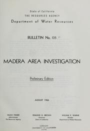
Search results from Open Library.
Recent natural events nearby
- Wildfire DOME, Mariposa, CaliforniaWildfires · 2026-09-15 · 49 mi
- Prescribed Fire CRAWFORD CORRAL RX, Tulare, CaliforniaWildfires · 2026-09-19 · 67 mi
- Wildfire GANN, Calaveras, CaliforniaWildfires · 2026-08-03 · 88 mi
- Wildfire Plaskett, Monterey, CaliforniaWildfires · 2026-08-26 · 104 mi
- Wildfire Timber, Monterey, CaliforniaWildfires · 2026-08-09 · 104 mi
- Wildfire PLAINS, San Luis Obispo, CaliforniaWildfires · 2026-08-12 · 107 mi
- Wildfire CYRUS, Kern, CaliforniaWildfires · 2026-10-09 · 128 mi
- Wildfire BUZZARD, Kern, CaliforniaWildfires · 2026-08-05 · 157 mi
Wildfires, storms and other events from NASA EONET (last 12 months, within 250 mi).
Ground air-quality sensors
Recently spotted species

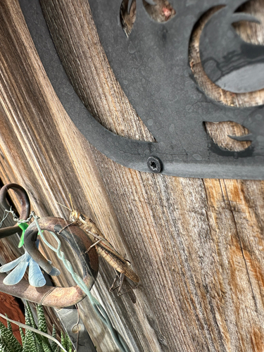
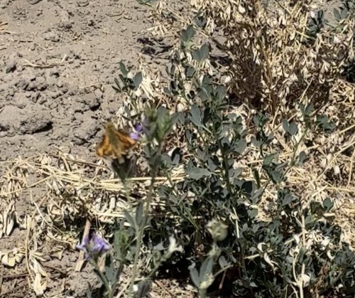
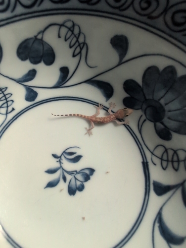
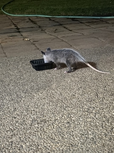
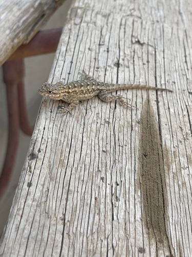
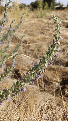
Research-grade observations from iNaturalist (within ~15 mi).
Nearest stream gauge
Events
Gallery
Sources
- • Wikipedia
- • US Census Bureau (ACS 5-year estimates)
- • NOAA National Weather Service
- • Wikidata
- • USGS Earthquake Catalog (global feed)
- • NCES via Urban Institute Education Data Portal
- • GBIF (Global Biodiversity Information Facility)
- • iNaturalist
- • CDC PLACES
- • Open-Meteo / sunrise-sunset.org
- • Wikipedia Pageviews API
- • Open Library
- • NASA EONET