Browse / United States / California / Malibu
Malibu
Californiacity

Malibu
Total population
10,421
Median home value
$2,000,001
Bachelor's+
Median income
$194,421
Air quality index
Demographic figures from US Census Bureau · ACS 5-year estimates. Overview below cites Wikipedia and may reference a different year.
- Beach Hazards Statement · ModerateBeach Hazards Statement issued September 25 at 11:20AM PDT until September 30 at 4:00PM PDT by NWS Los Angeles/Oxnard CA
Source: NOAA National Weather Service.
City facts
Facts from Wikidata (CC0).
Overview
Malibu is a beach city in the Santa Monica Mountains region of Los Angeles County, California, United States, about 30 miles (48 km) west of Los Angeles. It is known for its Mediterranean climate, its strip of beaches stretching 21 miles (34 km) along the Pacific coast, and for its longtime status as the home of numerous Hollywood celebrities and executives with several of its residents in the entertainment industry. The Pacific Coast Highway traverses the city, following along the South Coast of California. As of the 2020 census, the city's population was 10,654. The 2025 Palisades Fire devastated Malibu, with almost all of the beachfront homes in the east of the city being destroyed.
Read more on WikipediaHistory & geography
History
The area is within the Ventureño Chumash territory, which extended from the San Joaquin Valley to San Luis Obispo to Malibu, as well as several islands off the southern coast of California. The Chumash called the settlement Humaliwo or "the surf sounds loudly". The city's name derives from this, as the "Hu" syllable is not stressed. Humaliwo was an important regional center in prehistoric times. The village, which is identified as CA-LAN-264, was occupied from approximately 2500 BCE. It was the second-largest Chumash coastal settlement by the Santa Monica Mountains, after Muwu (Point Mugu). This pre-colonial village was next to Malibu Lagoon and is now part of the State Park. Humaliwo was considered an important political center, but there were additional minor settlements in the area. One village, Ta'lopop, was a few miles up Malibu Canyon from Malibu Lagoon. Research shows that Humaliwo had ties to other pre-colonial villages, including Hipuk (in Westlake Village), Lalimanux (by Conejo Grade) and Huwam (in Bell Canyon). Conquistador Juan Rodríguez Cabrillo is believed to have moored at Malibu Lagoon, at the mouth of Malibu Creek, to obtain fresh water in 1542. The Spanish presence returned with the California mission system, and the area was part of Rancho Topanga Malibu Sequit—a land grant—in 1802. Baptismal records list 118 individuals from Humaliwo. That ranch passed intact to Frederick Hastings Rindge in 1891. He and his wife, Rhoda May Knight Rindge, staunchly protected their land. After his death, May guarded their property zealously by hiring guards to evict all trespassers and fighting a lengthy court battle to prevent the building of a Southern Pacific railroad line through the ranch. Interstate Commerce Commission regulations would not support a…
Geography
Malibu's eastern end borders the community of Topanga, which separates it from the city of Los Angeles. According to the United States Census Bureau, the city has an area of , over 99% of it is land. Malibu's dry brush chaparral and steep clay slopes make it prone to fires, floods, and mudslides. Beaches on the Malibu coast include Big Rock Beach, Broad Beach, County Line Beach, Dan Blocker Beach, La Costa Beach, Las Flores Beach, Malibu Beach, Point Dume Beach, Surfrider Beach, Topanga Beach, and Zuma Beach. State parks and beaches on the Malibu coast include Leo Carrillo State Beach and Park, Malibu Creek State Park, Point Mugu State Park, and Robert H. Meyer Memorial State Beach, along with individual beaches such as El Matador Beach, El Pescador Beach, La Piedra Beach, Carbon Beach, Surfrider Beach, Westward Beach, and Escondido Beach. Paradise Cove, Pirates Cove, Trancas, and Encinal Bluffs are along the coast in Malibu. Point Dume forms the northern end of the Santa Monica Bay, and Point Dume Headlands Park affords a vista stretching to the Palos Verdes Peninsula and Santa Catalina Island. Like all California beaches, Malibu beaches are public below the mean high tide line. Many large public beaches are easily accessible, but such access is sometimes limited for some of the smaller and more remote beaches. The Malibu Coast lies on the fringe of an extensive chaparral and woodland wilderness area, the Santa Monica Mountains National Recreation Area. Various environmental elements collectively create a recipe for natural disasters: the mountainous and geologically unstable terrain; seasonal rainstorms that result in dense vegetation growth; seasonal dry Santa Ana winds; and a naturally dry topography and climate. The Malibu coast has seen dozens of…
Excerpted from the corresponding Wikipedia article (CC BY-SA).
Demographics & economy
Race & ethnicity
Source: US Census Bureau — American Community Survey, 5-year estimates.
Geography
Coordinates & boundaries from the US Census TIGER/Line shapefiles.
Climate
10-year averages from ERA5 reanalysis (Open-Meteo).
Current forecast
Forecast for Malibu, CA from NOAA NWS API.
Air quality
Current readings from Open-Meteo Air Quality API (Copernicus CAMS European reanalysis).
Industrial & pollution facilities
Natural hazard risk
Health (adults)
Age-adjusted prevalence estimates from CDC PLACES (latest release).
Walkability
Amenities nearby
Wildlife & biodiversity
Most-observed species
- Bladder kelpMacrocystis pyrifera (L.) C.Agardh · Phaeophyceae16,243
- House FinchHaemorhous mexicanus (P.L.Statius Müller, 1776) · Aves15,419
- American CrowCorvus brachyrhynchos C.L.Brehm, 1822 · Aves13,864
- California/Woodhouse's Scrub-JayAphelocoma californica (Vigors, 1839) · Aves11,437
- California TowheeMelozone crissalis (Vigors, 1839) · Aves11,277
- Black PhoebeSayornis nigricans (Swainson, 1827) · Aves10,714
- Lesser GoldfinchSpinus psaltria (Say, 1822) · Aves10,390
- Mourning DoveZenaida macroura (Linnaeus, 1758) · Aves10,318
Citizen-science & research observations from the Global Biodiversity Information Facility (GBIF).
Schools
Earthquake history
Most recent
- M 2.53 — 2026-09-1811 km N of Fillmore, CA
- M 2.94 — 2026-09-174 km SSE of Compton, CA
- M 2.56 — 2026-09-1327 km SSE of Malibu, CA
- M 2.65 — 2026-09-124 km E of Lennox, CA
- M 2.62 — 2026-09-125 km WNW of Willowbrook, CA
- M 3.07 — 2026-09-064 km SSE of Compton, CA
Events from the USGS Earthquake Catalog (global) (FDSN Event Web Service).
Photos
Sights & places nearby
Notable people from here


People born within ~10 km, from Wikidata (CC0). Click any name for their Wikipedia article.
Nearby places in California
Geography & sun
Elevation, sunrise/sunset and daylight from Open-Meteo. Solar climatology from NASA POWER.
Nearby airports
Public attention
Pageview totals from the Wikimedia Pageviews API.
Books about Malibu



Search results from Open Library.
Recent natural events nearby
- Wildfire RIDGE, Los Angeles, CaliforniaWildfires · 2026-08-07 · 53 mi
- Wildfire BUZZARD, Kern, CaliforniaWildfires · 2026-08-05 · 61 mi
- Wildfire PLAINS, San Luis Obispo, CaliforniaWildfires · 2026-08-12 · 119 mi
- Prescribed Fire CRAWFORD CORRAL RX, Tulare, CaliforniaWildfires · 2026-09-19 · 178 mi
- Wildfire Plaskett, Monterey, CaliforniaWildfires · 2026-08-26 · 199 mi
- Wildfire Timber, Monterey, CaliforniaWildfires · 2026-08-09 · 225 mi
- Wildfire DOME, Mariposa, CaliforniaWildfires · 2026-09-15 · 249 mi
Wildfires, storms and other events from NASA EONET (last 12 months, within 250 mi).
Ground air-quality sensors
Recently spotted species
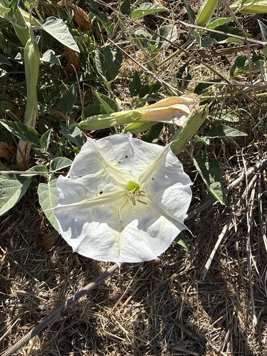
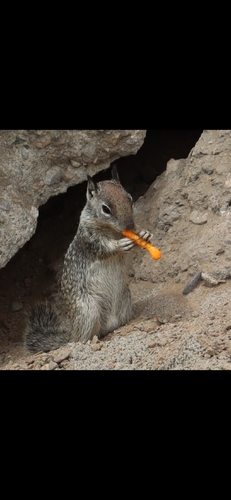
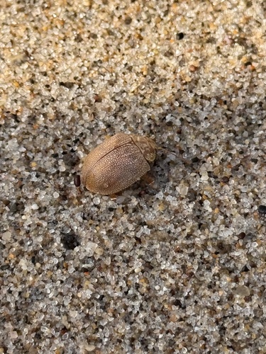
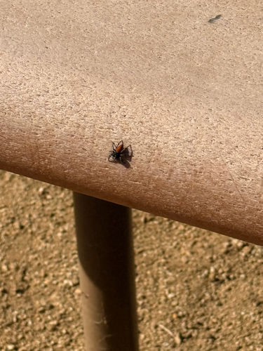
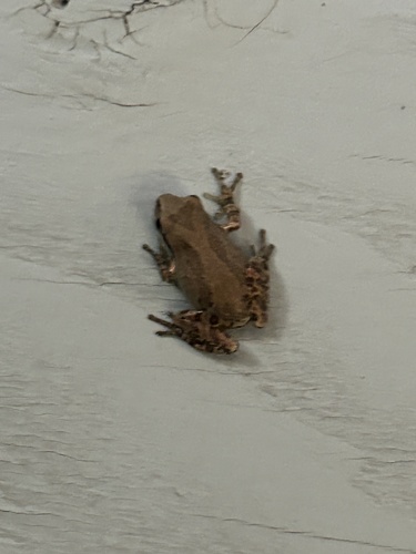
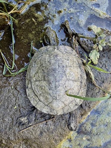
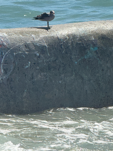
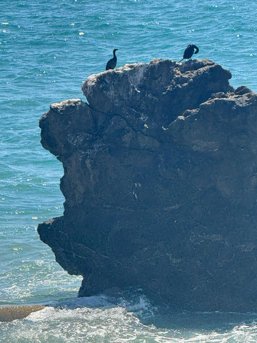
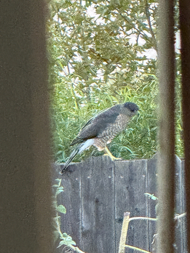
Research-grade observations from iNaturalist (within ~15 mi).
Nearest stream gauge
Events
Gallery
Sources
- • Wikipedia
- • US Census Bureau (ACS 5-year estimates)
- • Open-Meteo (ERA5 reanalysis)
- • NOAA National Weather Service
- • Wikidata
- • Open-Meteo Air Quality (CAMS)
- • USGS Earthquake Catalog (global feed)
- • GBIF (Global Biodiversity Information Facility)
- • iNaturalist
- • CDC PLACES
- • Open-Meteo / sunrise-sunset.org
- • Wikipedia Pageviews API
- • Open Library
- • NASA EONET
Notes: Nearby POIs unavailable; Photos unavailable; Schools data unavailable; Walkability unavailable; EPA pollution data unavailable; Livability counts unavailable; FEMA NRI data unavailable