Browse / Canada / Ontario / Markham
Markham
Ontariocity

Markham
Total population
338,503
Founded
1794
Demographic figures from Statistics Canada. Overview below cites Wikipedia and may reference a different year.
City facts
Sister cities
Facts from Wikidata (CC0).
Overview
Markham is a city in York Region, Ontario, Canada. It is approximately 30 km (19 mi) northeast of Downtown Toronto. In the 2021 Census, Markham had a population of 338,503, which ranked it the largest in York Region, fourth largest in the Greater Toronto Area (GTA), and 16th largest in Canada.
Read more on WikipediaHistory & geography
History
Indigenous people lived in the area of present-day Markham since the end of the last Ice Age and the city is situated on the traditional territory of the Haudenosaunee (Iroquois), Huron Wendat, Petun and Neutral people. In the early 1600s, when explorers from France arrived, they encountered the Huron-Wendat First Nation. The remainder of Markham's land (roughly east of Woodbine Avenue/Highway 404) is covered by the Johnson-Butler Purchase of 1787-88 (aka Gunshot Treaty) and formally by the Williams Treaties, signed in 1923. The Lieutenant-Governor of Upper Canada, John Graves Simcoe (in office 1791–1796), named the township of Markham, north of the town of York (now Toronto), after his friend William Markham, then Archbishop of York. William Berczy first surveyed Markham as a township in 1793, and in 1794 led 75 German families (including the Ramers, Reesors, Wheters, Burkholders, Bunkers, Wicks and Lewis) from Upstate New York to an area of Markham now known as German Mills. Each family was granted of land; however the lack of roads in the region led many to settle in York (present-day Toronto) and Niagara. German Mills later became a ghost town. Between 1803 and 1812 another attempt at settling the region was made. The largest group of settlers were Pennsylvania Dutch, most of them Mennonites. These highly skilled craftsmen and knowledgeable farmers settled the region and founded Reesorville, named after the Mennonite settler Joseph Reesor. In 1825 Reesorville was renamed to Markham and took the name of the unincorporated village (see Markham Village, Ontario). By 1830, many Irish, Scottish and English families began immigrating to Upper Canada and settling in Markham. Markham's early years blended the rigours of the frontier with the development of…
Geography
Markham covers and Markham's city centre is at . It is bounded by five municipalities; in the west is Vaughan with the boundary along Yonge Street between Steeles Avenue and Highway 7 and Richmond Hill with the boundary along Highway 7 from Yonge Street to Highway 404 and at Highway 404 from Highway 7 to 19th Avenue and Stouffville Road. In the south, it borders Toronto with the boundary along Steeles Avenue. In the north it borders Whitchurch–Stouffville with the boundary from Highway 404 to York-Durham Line between 19th Avenue and Stouffville Road. In the east it borders Pickering along York-Durham Line. Markham's average altitude is at and in general consists of gently rolling hills. The city is intersected by two rivers; the Don River and Rouge River, as well as their tributaries. To the north is the Oak Ridges Moraine, which further elevates the elevation towards the north. Markham borders and shares the same climate as Toronto. On an average day, Markham is generally cooler than in downtown Toronto. It has a humid continental climate (Köppen climate classification Dfb) and features warm, humid summers with rainfall occurring from May to October and cold, snowy winters. The highest temperature recorded was on August 8, 2001, during the eastern North America heat wave and the lowest temperature recorded was on January 16, 1994, during the 1994 North American cold wave.
Excerpted from the corresponding Wikipedia article (CC BY-SA).
Geography
Coordinates & boundaries from the US Census TIGER/Line shapefiles.
Climate
Air quality
Walkability
Amenities nearby
Wildlife & biodiversity
Earthquake history
Photos
Sights & places nearby
Notable people from here
Nearby places in Ontario
Geography & sun
Elevation, sunrise/sunset and daylight from Open-Meteo. Solar climatology from NASA POWER.
Nearby airports
Public attention
Pageview totals from the Wikimedia Pageviews API.
Books about Markham
Search results from Open Library.
Recent natural events nearby
Ground air-quality sensors
Recently spotted species
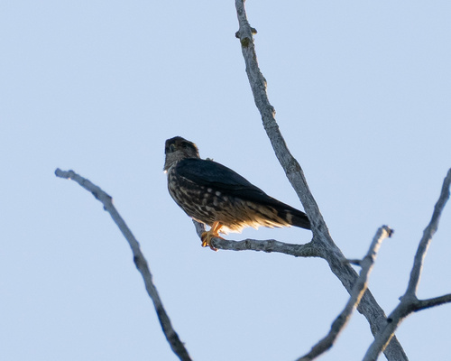
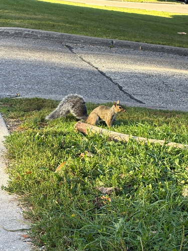
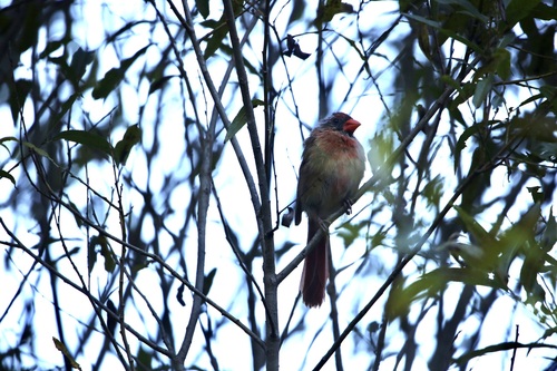
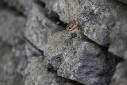
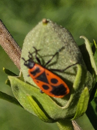
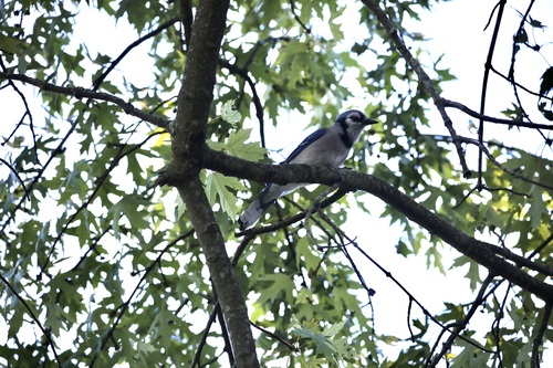

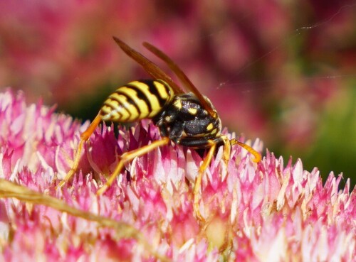
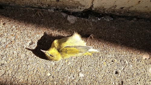
Research-grade observations from iNaturalist (within ~15 mi).
Events
Gallery
Official Identifiers
StatCan — Statistics Canada
- SGC code
- 3519036
- Population (Wikidata)
- 338,503
- Wikidata
- Q44016
Standard Geographical Classification (SGC) via Wikidata P3012
Sources
- • Wikipedia
- • Wikidata
- • iNaturalist
- • Open-Meteo / sunrise-sunset.org
- • Wikipedia Pageviews API
- • Open Library
- • StatCan — Statistics Canada — Standard Geographical Classification (SGC) via Wikidata P3012