Browse / Canada / Alberta / ᒪᐢᑿᒌᐢ Maskwacis
ᒪᐢᑿᒌᐢ Maskwacis
Albertatown

ᒪᐢᑿᒌᐢ Maskwacis
Founded
1891
Demographic figures from Statistics Canada. Overview below cites Wikipedia and may reference a different year.
City facts
Facts from Wikidata (CC0).
Overview
Maskwacis, renamed in 2014 from Hobbema, is an unincorporated community in central Alberta, Canada at the intersection of Highway 2A and Highway 611, approximately 70 kilometres (43 mi) south of the City of Edmonton. The community consists of two Cree First Nations communities – one on the Ermineskin 138 reserve to the north and the other on the Samson 137 reserve to the south. It also consists of an adjacent hamlet within Ponoka County. The community also serves three more nearby First Nations reserves including Samson 137A to the south, Louis Bull 138B to the northwest, and Montana 139 to the south.
Read more on WikipediaHistory & geography
Geography
The community straddles the boundaries between the Ermineskin 138 reserve, the Samson 137 reserve and Ponoka County. The northern portion of the community is located within Ermineskin 138 on the west side of Highway 2A. The southern portion of the community is located within Samson 137 on the east side of Highway 2A and north side of Highway 611. The remaining portion of the community is located within Ponoka County on the west side of Highway 2A across from the Samson 137 portion of the community and south of the Ermineskin 138 portion of the community. The Ermineskin 138 portion of the community is located within Census Division No. 11, while the Samson 137 and Ponoka County portions are located within Census Division No. 8. Maskwacis serves five reserves of four Cree First Nation band governments, which are collectively known as the "four nations" and are each party to Treaty Six. The four nations include the Ermineskin Cree Nation, Samson Cree Nation, Louis Bull Tribe, and the Montana First Nation.
Excerpted from the corresponding Wikipedia article (CC BY-SA).
Geography
Coordinates & boundaries from the US Census TIGER/Line shapefiles.
Climate
Air quality
Walkability
Amenities nearby
Wildlife & biodiversity
Most-observed species
- Black-capped ChickadeePoecile atricapillus (Linnaeus, 1766) · Aves854
- American RobinTurdus migratorius Linnaeus, 1766 · Aves605
- Downy WoodpeckerDryobates pubescens (Linnaeus, 1766) · Aves418
- Canada Goose (canadensis Group)Branta canadensis (Linnaeus, 1758) · Aves398
- MallardAnas platyrhynchos Linnaeus, 1758 · Aves386
- Purple MartinProgne subis (Linnaeus, 1758) · Aves372
- American GoldfinchSpinus tristis (Linnaeus, 1758) · Aves365
- Red-winged BlackbirdAgelaius phoeniceus (Linnaeus, 1766) · Aves342
Citizen-science & research observations from the Global Biodiversity Information Facility (GBIF).
Earthquake history
Most recent
- M 3.8 — 2019-03-049 km NW of Red Deer, Canada
Events from the USGS Earthquake Catalog (global) (FDSN Event Web Service).
Photos
Sights & places nearby
Notable people from here

People born within ~10 km, from Wikidata (CC0). Click any name for their Wikipedia article.
Nearby places in Alberta
- Pine Haven Hutterite Colony8.4 mi away
- Silver Creek Hutterite Colony14.1 mi away
- Falun18.3 mi away
- Morningside19.3 mi away · pop. 97
- Bittern Lake20.3 mi away · pop. 220
- Hartland Hutterite Colony21 mi away
- Ma-Me-O Beach23.4 mi away
- Mulhurst Bay27.4 mi away
- Argentia Beach27.9 mi away
- Hay Lakes30 mi away
- Poplar Bay30.2 mi away
- Camrose Hutterite Colony32 mi away
Geography & sun
Elevation, sunrise/sunset and daylight from Open-Meteo. Solar climatology from NASA POWER.
Nearby airports
Public attention
Pageview totals from the Wikimedia Pageviews API.
Books about this place
Recent natural events nearby
Ground air-quality sensors
Recently spotted species
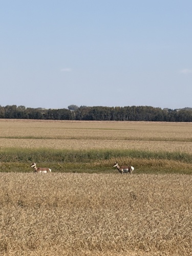
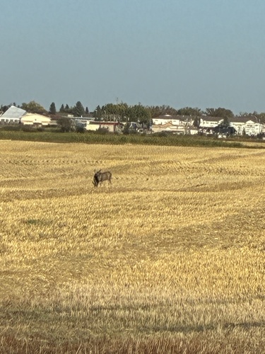
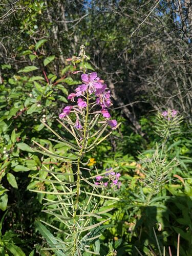
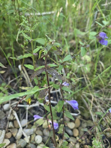
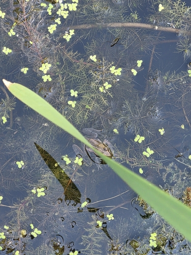
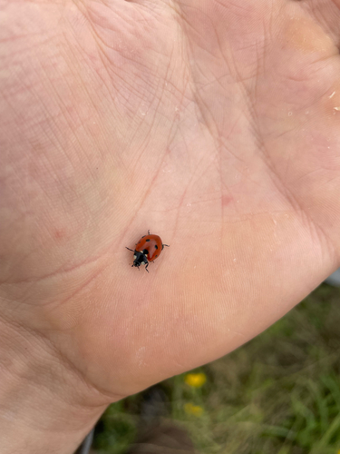
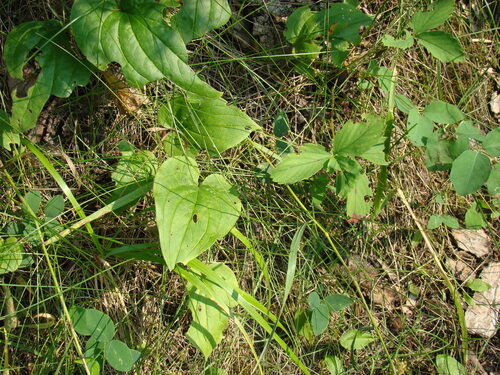
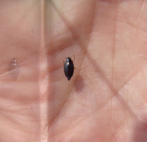
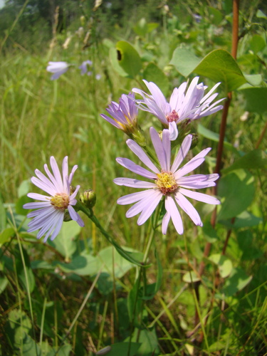
Research-grade observations from iNaturalist (within ~15 mi).
Events
Gallery
Sources
- • Wikipedia
- • Wikidata
- • USGS Earthquake Catalog (global feed)
- • GBIF (Global Biodiversity Information Facility)
- • iNaturalist
- • Open-Meteo / sunrise-sunset.org
- • Wikipedia Pageviews API