Browse / United States / California / Maywood
Maywood
Californiacity

Maywood
Total population
24,317
Median home value
$634,400
Bachelor's+
Median income
$60,943
Founded
1924
Demographic figures from US Census Bureau · ACS 5-year estimates. Overview below cites Wikipedia and may reference a different year.
- Extreme Heat Warning · SevereExtreme Heat Warning issued October 1 at 12:17PM PDT until October 8 at 8:00PM PDT by NWS Los Angeles/Oxnard CA
Source: NOAA National Weather Service.
City facts
Facts from Wikidata (CC0).
Overview
Maywood is a city in Los Angeles County, California, United States. A gateway city, at 1.18 square miles (3.1 km2) Maywood is the third-smallest incorporated city in Los Angeles County by area. It is bordered by the cities of Bell on the south, Vernon on the north and west, Huntington Park on the southwest, and Commerce on the east.
Read more on WikipediaHistory & geography
History
The land on which Maywood stands had been populated by Native American tribes for centuries. The area that would later become Maywood was deeded in 1781 by the Spanish monarchy to Spanish War veteran Manuel Nieto. When the settlement of Pueblo de Nuestra Senora de Los Angeles was recorded, it included the cow pasture (now Maywood) that eventually turned into a rancho. In 1919, May Wood, a popular young woman who worked for the real estate corporation developing the ranch into home tracts, agreed to lend her name to the property. The development of Maywood later survived a bitter challenge to dissolve the prospective city in early 1924. The Chrysler Corporation had an auto assembly plant in Maywood from the 1920s until its closing in July 1971. It was located at 5800 Eastern Avenue at Slauson, and was generally referred to as the "Los Angeles" Plant. When the city of Commerce was incorporated in 1961, that corner was annexed as were several in the surrounding area. Maywood Assembly was a Ford Motor Company assembly plant also located in Maywood, that operated from 1948 until 1957. The address was 5801 S. Eastern Avenue, and it was across the street from the Chrysler Assembly factory, and exclusively built Lincoln and Mercury vehicles. The factory was closed and demolished when operations at Maywood and Long Beach were combined into a new factory in Pico Rivera in 1958. Willys-Overland built its California factory in Maywood, California, in 1929 at the current location of 6201 Randolph Street. Over 900 people were employed at the new $1.5 million assembly plant. Willys-Overland became the second automobile manufacturer to build a major plant in the city. After the United States entered World War II, automobile production for civilians was phased out and in November…
Geography
According to the United States Census Bureau, the city has a total area of , all land. It is southeast from Downtown Los Angeles Financial District and only east of the Los Angeles city limit on Slauson Ave and Alameda St in the Central-Alameda neighborhood. Maywood is part of the Gateway Cities region of southeastern Los Angeles County area. Maywood is bordered by the city of Bell on the south, Vernon on the north and west, Huntington Park on the southwest, and Commerce on the east. The climate in the city of Maywood is very warm during summer when high temperatures tend to be in the 80s and mild during winter when high temperatures tend to be in the 60s. Temperature variations between night and day tend to be moderate during summer with a difference that can reach , and moderate during winter with an average difference of . The annual average precipitation at Maywood is . The wettest month of the year is February with an average rainfall of . Maywood-area historical tornado activity is significantly above California state average. It is 75% smaller than the overall U.S. average. On November 7, 1966, a category 2 (max. wind speeds 113-157 mph) tornado away from the Maywood city center injured 10 people and caused between $50,000 and $500,000 in damages.
Excerpted from the corresponding Wikipedia article (CC BY-SA).
Demographics & economy
Race & ethnicity
Source: US Census Bureau — American Community Survey, 5-year estimates.
Geography
Coordinates & boundaries from the US Census TIGER/Line shapefiles.
Climate
Current forecast
Forecast for Maywood, CA from NOAA NWS API.
Air quality
Industrial & pollution facilities
Natural hazard risk
Health (adults)
Age-adjusted prevalence estimates from CDC PLACES (latest release).
Walkability
Amenities nearby
Wildlife & biodiversity
Most-observed species
- House FinchHaemorhous mexicanus (P.L.Statius Müller, 1776) · Aves53,391
- Black PhoebeSayornis nigricans (Swainson, 1827) · Aves45,172
- Mourning DoveZenaida macroura (Linnaeus, 1758) · Aves42,624
- Allen's HummingbirdSelasphorus sasin (R.Lesson, 1829) · Aves37,602
- American CrowCorvus brachyrhynchos C.L.Brehm, 1822 · Aves35,599
- Northern MockingbirdMimus polyglottos (Linnaeus, 1758) · Aves34,180
- Lesser GoldfinchSpinus psaltria (Say, 1822) · Aves33,952
- Yellow-rumped WarblerSetophaga coronata (Linnaeus, 1766) · Aves33,095
Citizen-science & research observations from the Global Biodiversity Information Facility (GBIF).
Schools
Largest nearby schools
- Downey HighHigh · Downey · 4,063 students · 23.4:1 ratio
- Paramount HighHigh · Paramount · 3,737 students · 20.5:1 ratio
- Warren (Earl) HighHigh · Downey · 3,437 students · 23.7:1 ratio
- Mayfair HighHigh · Lakewood · 2,578 students · 22.6:1 ratio
- California HighHigh · Whittier · 2,504 students · 23.2:1 ratio
- Bell Senior HighHigh · Bell · 2,351 students · 22:1 ratio
- James A. Garfield Senior HighHigh · Los Angeles · 2,247 students · 17.6:1 ratio
- El Rancho HighHigh · Pico Rivera · 2,244 students · 24.7:1 ratio
Public K–12 schools within ~10 mi from Urban Institute Education Data Portal (NCES Common Core of Data, 2022).
Earthquake history
Most recent
- M 2.53 — 2026-09-1811 km N of Fillmore, CA
- M 2.94 — 2026-09-174 km SSE of Compton, CA
- M 2.56 — 2026-09-1327 km SSE of Malibu, CA
- M 2.65 — 2026-09-124 km E of Lennox, CA
- M 3.31 — 2026-09-1226 km ESE of Avalon, CA
- M 2.95 — 2026-09-1226 km ESE of Avalon, CA
Events from the USGS Earthquake Catalog (global) (FDSN Event Web Service).
Photos
Sights & places nearby
Notable people from here


People born within ~10 km, from Wikidata (CC0). Click any name for their Wikipedia article.
Geography & sun
Elevation, sunrise/sunset and daylight from Open-Meteo. Solar climatology from NASA POWER.
Nearby airports
Public attention
Pageview totals from the Wikimedia Pageviews API.
Books about Maywood




Search results from Open Library.
Recent natural events nearby
- Wildfire RIDGE, Los Angeles, CaliforniaWildfires · 2026-08-07 · 66 mi
- Wildfire BUZZARD, Kern, CaliforniaWildfires · 2026-08-05 · 76 mi
- Wildfire PLAINS, San Luis Obispo, CaliforniaWildfires · 2026-08-12 · 143 mi
- Prescribed Fire CRAWFORD CORRAL RX, Tulare, CaliforniaWildfires · 2026-09-19 · 186 mi
- Wildfire Plaskett, Monterey, CaliforniaWildfires · 2026-08-26 · 226 mi
Wildfires, storms and other events from NASA EONET (last 12 months, within 250 mi).
Ground air-quality sensors
Recently spotted species
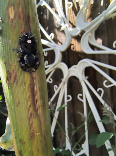
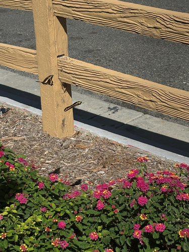
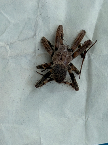
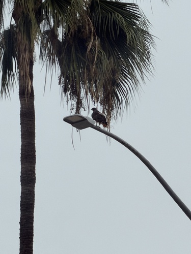
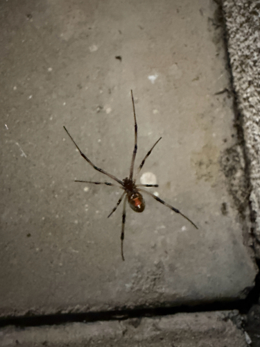
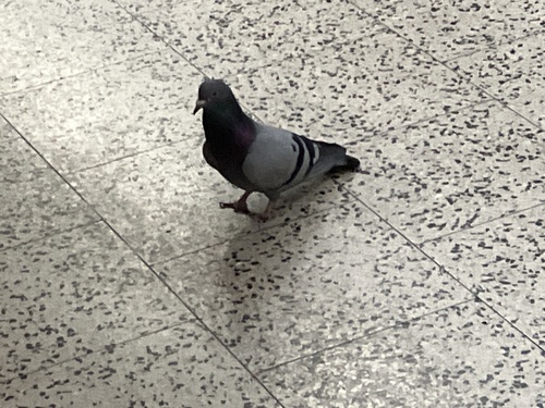
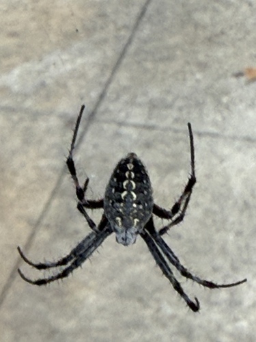
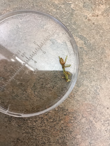
Research-grade observations from iNaturalist (within ~15 mi).
Nearest stream gauge
Events
Gallery
Sources
- • Wikipedia
- • US Census Bureau (ACS 5-year estimates)
- • NOAA National Weather Service
- • Wikidata
- • USGS Earthquake Catalog (global feed)
- • NCES via Urban Institute Education Data Portal
- • GBIF (Global Biodiversity Information Facility)
- • iNaturalist
- • CDC PLACES
- • Open-Meteo / sunrise-sunset.org
- • Wikipedia Pageviews API
- • Open Library
- • NASA EONET