Browse / Canada / British Columbia / McBride
McBride
British Columbiavillage

McBride
Founded
1913
Demographic figures from Statistics Canada. Overview below cites Wikipedia and may reference a different year.
City facts
Facts from Wikidata (CC0).
Overview
McBride is a village in the Robson Valley region of British Columbia, Canada. The village is located 210 km (130 mi) southeast of Prince George, British Columbia, and 166 km (103 mi) west of Jasper, Alberta. Incorporated in 1932, McBride is located in the Robson Valley surrounded by the Rocky Mountains and Cariboo Ranges.
Read more on WikipediaHistory & geography
History
McBride was founded in 1913 as Mile 90 of the Grand Trunk Pacific Railway. The village was named after the serving premier, Sir Richard McBride. McBride's early industries were rail, shipping, forest harvesting and the agricultural development of the valley. In 1970 access to McBride changed with the opening of Highway 16 (Yellowhead), which enabled vehicles to travel through the valley. Barley, oats, forage crops and pasture are the main agricultural activities supported by dark gray Doré clay loam to clay and gray Rausch clay.
Excerpted from the corresponding Wikipedia article (CC BY-SA).
Geography
Coordinates & boundaries from the US Census TIGER/Line shapefiles.
Climate
Air quality
Walkability
Amenities nearby
Wildlife & biodiversity
Earthquake history
Photos
Sights & places nearby
Notable people from here

People born within ~10 km, from Wikidata (CC0). Click any name for their Wikipedia article.
Nearby places in British Columbia
Geography & sun
Elevation, sunrise/sunset and daylight from Open-Meteo. Solar climatology from NASA POWER.
Nearby airports
Public attention
Pageview totals from the Wikimedia Pageviews API.
Books about McBride

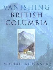

Search results from Open Library.
Recent natural events nearby
Ground air-quality sensors
Recently spotted species
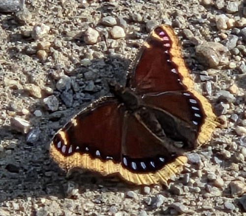
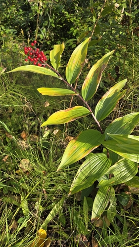
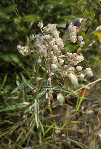
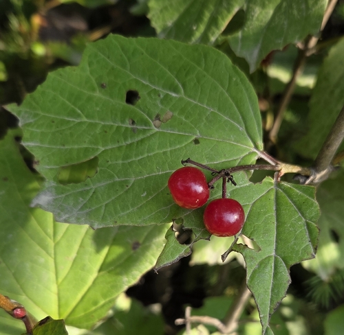
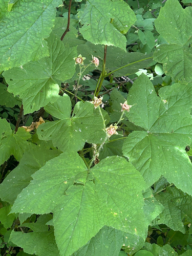
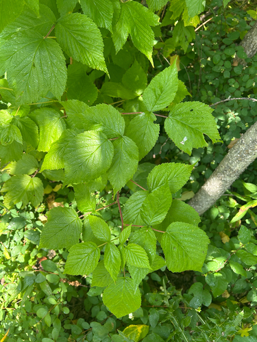
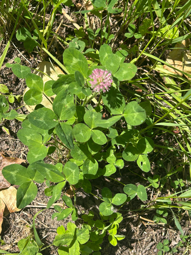
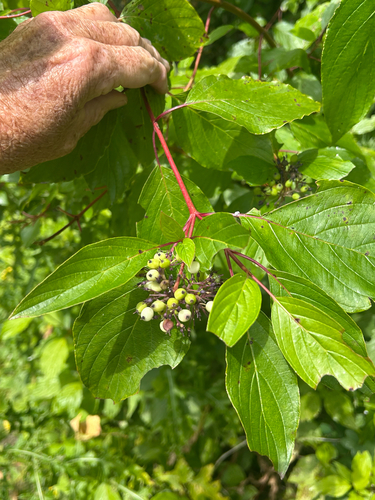
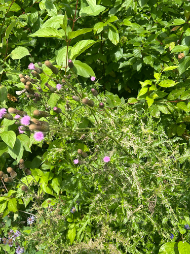
Research-grade observations from iNaturalist (within ~15 mi).
Events
Gallery
Official Identifiers
StatCan — Statistics Canada
- SGC code
- 5953012
- Wikidata
- Q2957122
Standard Geographical Classification (SGC) via Wikidata P3012
Sources
- • Wikipedia
- • Wikidata
- • iNaturalist
- • Open-Meteo / sunrise-sunset.org
- • Wikipedia Pageviews API
- • Open Library
- • StatCan — Statistics Canada — Standard Geographical Classification (SGC) via Wikidata P3012