Browse / Canada / Ontario / Melbourne
Melbourne
Ontariovillage
Founded
1835
Demographic figures from Statistics Canada. Overview below cites Wikipedia and may reference a different year.
City facts
Facts from Wikidata (CC0).
Overview
Found in Ontario, Canada, Melbourne is classified as a village in public datasets. Detailed population figures are not currently catalogued in the open data sources we track. Geographically it lies in the northern hemisphere at a temperate latitude (42.815°, -81.553°). The location receives about 1,378 kWh/m² of solar irradiance per year and sunshine for roughly 54% of daylight hours. Its latitude implies a climate characterised by four distinct seasons with warm summers and cold winters. Detailed open-data panels follow, covering demographics, climate, geography, wildlife and nearby settlements.
Summary composed automatically from structured open data on this page. See our Terms for details.
History & geography
History
Aboriginal Australians have lived in the Melbourne area for at least 40,000 years. When British colonists arrived in the 19th century, up to 20,000 Kulin people from three distinct language groups – the Wurundjeri, Bunurong and Wathaurong – resided in the area. It was an important meeting place for the clans of the Kulin nation alliance and a vital source of food and water. In June 2021, the boundaries between the land of two of the traditional owner groups, the Wurundjeri and Bunurong, were agreed after being drawn up by the Victorian Aboriginal Heritage Council. The borderline runs across the city from west to east, with the CBD, Richmond and Hawthorn included in Wurundjeri land, and Albert Park, St Kilda and Caulfield on Bunurong land. However, this change in boundaries remains contested by individuals on both sides of the debate, including N'arweet Carolyn Briggs. Some sources indicate that the name Narrm refers to the area where Melbourne city is built; The first British settlement in Victoria, then part of the penal colony of New South Wales, was established by Colonel David Collins in October 1803, at Sullivan Bay, near present-day Sorrento. The following year, due to a perceived lack of resources, these settlers relocated to Van Diemen's Land (present-day Tasmania) and founded the city of Hobart. It would be 30 years before another settlement was attempted. In May and June 1835, John Batman, a leading member of the Port Phillip Association in Van Diemen's Land, explored the Melbourne area, and later claimed to have negotiated a purchase of with eight Wurundjeri elders. However, the nature of the treaty has been heavily disputed, as none of the parties spoke the same language, and the elders likely perceived it as part of the gift exchanges which had taken…
Geography
Melbourne is in the southeastern part of mainland Australia, within the state of Victoria. Geologically, it is built on the confluence of Quaternary lava flows to the west, Silurian mudstones to the east, and Holocene sand accumulation to the southeast along Port Phillip. The southeastern suburbs are situated on the Selwyn fault, which transects Mount Martha and Cranbourne. The western portion of the metropolitan area lies within the Victorian Volcanic Plain grasslands vegetation community, and the southeast falls in the Gippsland Plains Grassy Woodland zone. Melbourne extends northward through the undulating bushland valleys of the Yarra Valley's tributaries—Moonee Ponds Creek (toward Melbourne Airport), Merri Creek, Darebin Creek and Plenty River. The city reaches southeast through Dandenong to the growth corridor of Pakenham towards West Gippsland. In the west, it extends along the Maribyrnong River and its tributaries north towards Sunbury. Melbourne's major bayside beaches are in the various suburbs along the shores of Port Phillip Bay, in areas like Port Melbourne, Albert Park, St Kilda, Elwood, Brighton, Sandringham, Mentone, Frankston, Altona, Williamstown and Werribee South. The nearest surf beaches are south of the Melbourne CBD in the back-beaches of Rye, Sorrento and Portsea. Melbourne has, depending on the classification system used, a temperate oceanic (Köppen: Cfb) or humid subtropical (Trewartha: Cf) climate, with warm summers and cool winters. Melbourne is well known for its changeable weather conditions, mainly due to it being located on the boundary of hot inland areas and the cool southern ocean. This temperature differential is most pronounced in the spring and summer months and can cause strong cold fronts to form. These cold fronts can be…
Excerpted from the corresponding Wikipedia article (CC BY-SA).
Geography
Coordinates & boundaries from the US Census TIGER/Line shapefiles.
Climate
Air quality
Walkability
Amenities nearby
Wildlife & biodiversity
Earthquake history
Photos
Sights & places nearby
Notable people from here

People born within ~10 km, from Wikidata (CC0). Click any name for their Wikipedia article.
Geography & sun
Elevation, sunrise/sunset and daylight from Open-Meteo. Solar climatology from NASA POWER.
Nearby airports
Public attention
Pageview totals from the Wikimedia Pageviews API.
Books about Melbourne


Search results from Open Library.
Recent natural events nearby
Ground air-quality sensors
Recently spotted species
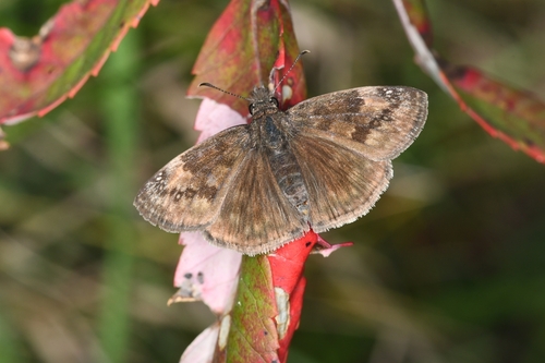
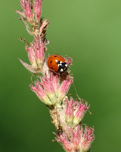
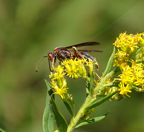
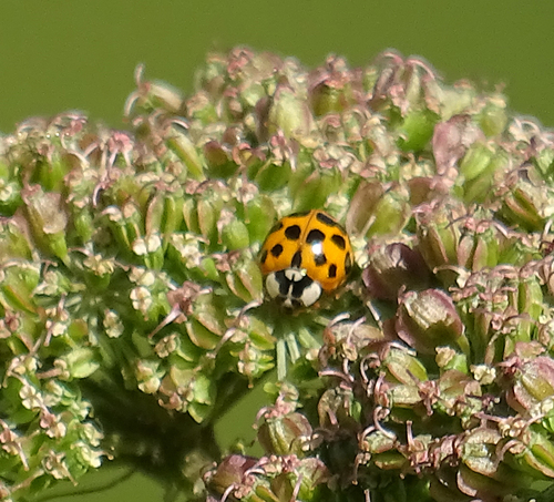
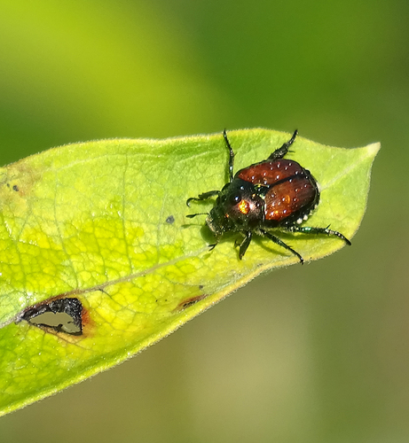
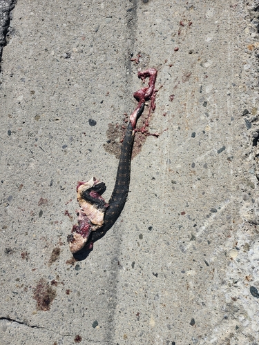
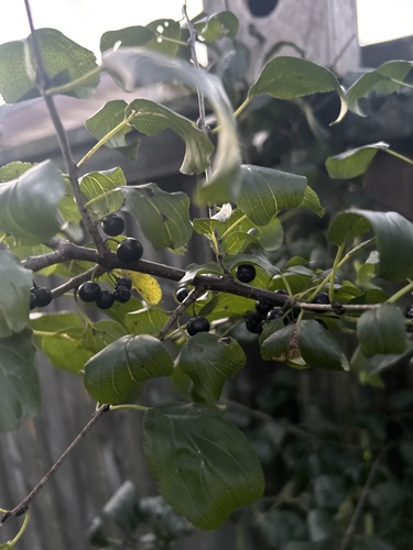
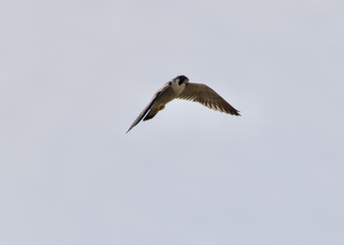
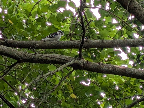
Research-grade observations from iNaturalist (within ~15 mi).
Events
Notable, recurring, and historical events associated with Melbourne, sourced from Wikidata.
- Jan 1, 2022
- Jan 1, 2012
- Jan 1, 2009
- 2008 Australian Film Institute AwardsDec 6, 2008award ceremony
annual award presented by the Australian Film Institute
- water polo at the 2007 World Aquatics Championships – men's tournamentJan 1, 2007sporting event
world championship
- swimming at the 2007 World Aquatics ChampionshipsJan 1, 2007sporting event
- Jan 1, 1996
- Jan 1, 1985
- Aug 14, 1975
- Melbourne International Games Weekrecurring event
annual digital games festival in Melbourne, Australia
- The Victorian Art Exhibition 1864-65planned event
art exhibition held by the government of the Colony of Victoria to obtain artworks by Australian residents
- Melbourne International Animation Festivalrecurring event
annual film festival held in Melbourne, Australia
- Jan 1, 1955
- Victorian Exhibition 1861Jan 1, 1861recurring event edition
exhibition held in Melbourne, Australia, to collect together items for the 1862 London International Exhibition
Source: Wikidata (CC0).
Gallery
Official Identifiers
StatCan — Statistics Canada
- SGC code
- 2442075
- Population (Wikidata)
- 1,096
- Wikidata
- Q3304955
Standard Geographical Classification (SGC) via Wikidata P3012
Sources
- • Wikipedia
- • Wikidata
- • iNaturalist
- • Open-Meteo / sunrise-sunset.org
- • Wikipedia Pageviews API
- • Open Library
- • StatCan — Statistics Canada — Standard Geographical Classification (SGC) via Wikidata P3012