Browse / United States / California / Merced
Merced
Californiacity

Merced
Total population
96,082
Median home value
$369,300
Bachelor's+
Median income
$70,414
Founded
1889
Demographic figures from US Census Bureau · ACS 5-year estimates. Overview below cites Wikipedia and may reference a different year.
City facts
Facts from Wikidata (CC0).
Overview
Merced is a city in and the county seat of Merced County, California, United States, in the San Joaquin Valley. As of the 2020 census, the city had a population of 86,333, up from 78,958 in 2010. Incorporated on April 1, 1889, Merced is a charter city that operates under a council–manager government. It is named after the Merced River, which flows nearby.
Read more on WikipediaHistory & geography
History
The first Merced post office opened in 1870. Merced incorporated in 1889. Since 2005, Merced has been home to the University of California, Merced. Historic cultural attractions in the city include The Mainzer Theater which is known for its historic and architectural value, the County Courthouse Museum , the Merced Multicultural Arts Center and the County Library. Also within a short distance from the city limits are the Castle Air Museum, Lake Yosemite, and Merced Falls. The city of Merced along with its surrounding cities are serviced by the Merced Sun-Star and the Merced County Times. The Merced Sun-Star daily newspaper has a circulation of 14,219 daily and 18,569 Saturday in the Merced area. The paper was sold to U.S. Media in 1985 and was acquired by The McClatchy Company in January 2004. Homes at the median level in Merced had lost 62% of their value from the second quarter of 2006, when they peaked at $336,743, the biggest drop anywhere in the country. Home prices have since rebounded, with the median sale price in April 2018 at $247,000 and stabilizing at around $400,000 in February, 2022 through January 2026. Investors from outside of the Valley were helping to drive up home prices. The metro area went to a 14.2% unemployment rate in December 2013. Having since recovered to a rate of 8.7% in April 2018. Some efforts have been directed towards diversifying its economy and are showing a lowering trend in the overall unemployment rate, according to the Bureau of Labor Statistics. During the Great Recession Merced suffered one of the greatest property price collapses in the country and house prices at the end of 2009 had fallen to 1998 levels, according to Zillow, making housing affordable compared to many other California locations. The economy has…
Geography
According to the United States Census Bureau, the city has a total area of , all land. A major groundwater plume containing the contaminant PCE was discovered in Merced in 1987. Subsequently, drilling of new water wells was severely restricted. Merced has a cool semi-arid climate (Köppen: BSk), with its annual precipitation falling just short of a mediterranean climate. The city features hot to sweltering, dry summers and mild, damp winters. There are an average of 99.7 days with highs of or higher and an average of 27.8 days with lows of or lower. The record highest temperature of was recorded on September 6, 2022. The record lowest temperature of was recorded on December 24, 1990. The wettest "rain year" was from July 1982 to June 1983 with and the driest from July 2013 to June 2014 with . The most rainfall in one month was in January 1909. The most rainfall in 24 hours was , which occurred on January 30, 1911 and March 9, 1911. |source 2 = National Weather Service }} ;Notes:
Excerpted from the corresponding Wikipedia article (CC BY-SA).
Demographics & economy
Race & ethnicity
Source: US Census Bureau — American Community Survey, 5-year estimates.
Geography
Coordinates & boundaries from the US Census TIGER/Line shapefiles.
Climate
Current forecast
Forecast for Merced, CA from NOAA NWS API.
Air quality
Industrial & pollution facilities
Natural hazard risk
Health (adults)
Age-adjusted prevalence estimates from CDC PLACES (latest release).
Walkability
Amenities nearby
Wildlife & biodiversity
Most-observed species
- Black PhoebeSayornis nigricans (Swainson, 1827) · Aves4,311
- Red-tailed HawkButeo jamaicensis (Gmelin, 1788) · Aves4,131
- Great EgretArdea alba Linnaeus, 1758 · Aves3,992
- KilldeerCharadrius vociferus Linnaeus, 1758 · Aves3,981
- White-crowned SparrowZonotrichia leucophrys (J.R.Forster, 1772) · Aves3,723
- Red-winged BlackbirdAgelaius phoeniceus (Linnaeus, 1766) · Aves3,591
- Western MeadowlarkSturnella neglecta Audubon, 1844 · Aves3,460
- Mourning DoveZenaida macroura (Linnaeus, 1758) · Aves3,431
Citizen-science & research observations from the Global Biodiversity Information Facility (GBIF).
Schools
Largest nearby schools
- Atwater HighHigh · Atwater · 2,095 students · 21.8:1 ratio
- Golden Valley HighHigh · Merced · 1,956 students · 22:1 ratio
- Merced HighHigh · Merced · 1,894 students · 22.5:1 ratio
- El Capitan HighHigh · Merced · 1,839 students · 21.9:1 ratio
- Buhach Colony HighHigh · Atwater · 1,746 students · 20.8:1 ratio
- Pioneer ElementaryElementary · Merced · 1,126 students · 21.2:1 ratio
- Weaver MiddleMiddle · Merced · 1,003 students · 23.3:1 ratio
- Farmdale ElementaryElementary · Merced · 1,001 students · 21.3:1 ratio
Public K–12 schools within ~10 mi from Urban Institute Education Data Portal (NCES Common Core of Data, 2022).
Earthquake history
Most recent
- M 2.62 — 2026-09-1721 km E of Alum Rock, CA
- M 2.54 — 2026-08-2822 km SE of Yosemite Valley, CA
- M 2.92 — 2026-07-3111 km ESE of Gilroy, CA
- M 2.76 — 2026-07-3010 km ESE of Gilroy, CA
- M 2.96 — 2026-07-2712 km ESE of Gilroy, CA
- M 2.73 — 2026-07-1411 km ESE of Gilroy, CA
Events from the USGS Earthquake Catalog (global) (FDSN Event Web Service).
Photos
Sights & places nearby
Notable people from here


People born within ~10 km, from Wikidata (CC0). Click any name for their Wikipedia article.
Nearby places in California
- Dos Palos23.7 mi away · pop. 5,765
- Mt. Bullion27.7 mi away
- Gustine28.7 mi away · pop. 6,133
- Firebaugh31.3 mi away · pop. 8,392
- Coulterville32.1 mi away
- Parklawn34.5 mi away
- Parkwood35.2 mi away
- La Vina35.6 mi away · pop. 789
- Rouse36.3 mi away
- Orange Blossom37 mi away
- Riverdale Park37 mi away · pop. 1,137
- Knights Ferry37.1 mi away
Geography & sun
Elevation, sunrise/sunset and daylight from Open-Meteo. Solar climatology from NASA POWER.
Nearby airports
Public attention
Pageview totals from the Wikimedia Pageviews API.
Books about Merced

Search results from Open Library.
Recent natural events nearby
- Wildfire DOME, Mariposa, CaliforniaWildfires · 2026-09-15 · 51 mi
- Wildfire GANN, Calaveras, CaliforniaWildfires · 2026-08-03 · 58 mi
- Prescribed Fire CRAWFORD CORRAL RX, Tulare, CaliforniaWildfires · 2026-09-19 · 96 mi
- Wildfire Timber, Monterey, CaliforniaWildfires · 2026-08-09 · 102 mi
- Wildfire Plaskett, Monterey, CaliforniaWildfires · 2026-08-26 · 110 mi
- Wildfire PLAINS, San Luis Obispo, CaliforniaWildfires · 2026-08-12 · 133 mi
- Wildfire FLORISTON, Nevada, CaliforniaWildfires · 2026-09-16 · 146 mi
- Wildfire Hawk, Washoe, NevadaWildfires · 2026-08-22 · 157 mi
Wildfires, storms and other events from NASA EONET (last 12 months, within 250 mi).
Ground air-quality sensors
Recently spotted species
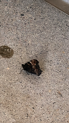
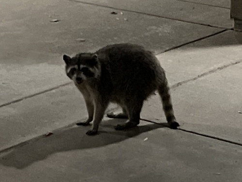
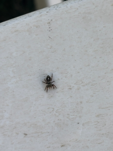
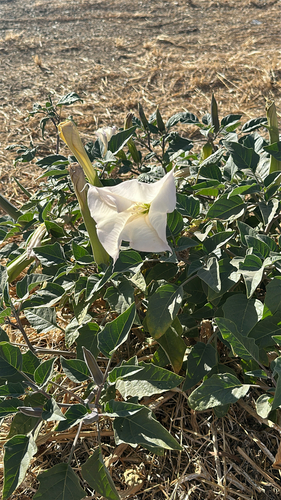
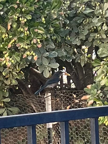
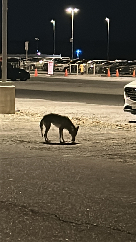
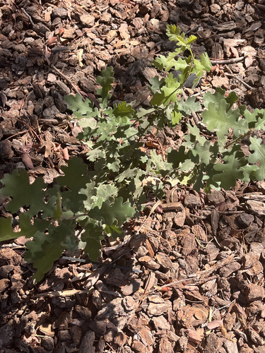
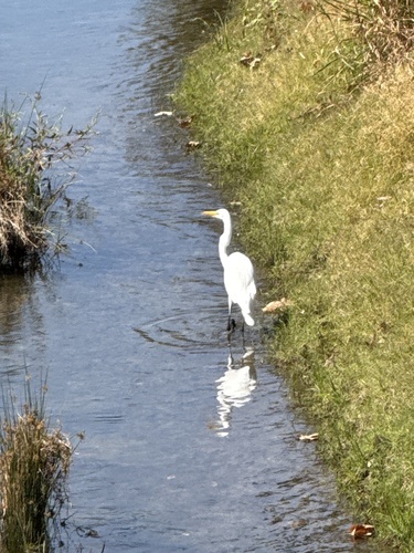
Research-grade observations from iNaturalist (within ~15 mi).
Nearest stream gauge
Events
Gallery
Sources
- • Wikipedia
- • US Census Bureau (ACS 5-year estimates)
- • NOAA National Weather Service
- • Wikidata
- • USGS Earthquake Catalog (global feed)
- • NCES via Urban Institute Education Data Portal
- • GBIF (Global Biodiversity Information Facility)
- • iNaturalist
- • CDC PLACES
- • Open-Meteo / sunrise-sunset.org
- • Wikipedia Pageviews API
- • Open Library
- • NASA EONET