Browse / Canada / British Columbia / Merritt
Merritt
British Columbiacity

Merritt
Total population
7,051
Founded
1893
Demographic figures from Statistics Canada. Overview below cites Wikipedia and may reference a different year.
City facts
Facts from Wikidata (CC0).
Overview
Merritt is a city in the Nicola Valley of the south-central Interior of British Columbia, Canada. It is 270 km (170 mi) northeast of Vancouver. Situated at the confluence of the Nicola and Coldwater rivers, it is the first major community encountered after travelling along Phase One of the Coquihalla Highway and acts as the gateway to all other major highways to the B.C. Interior. The city developed in 1893 when part of the ranches owned by William Voght, Jesus Garcia, and John Charters were surveyed for a town site.
Read more on WikipediaHistory & geography
History
For years, the Merritt area was a gathering place for local European colonists and First Nations, as the area was a focus of transportation routes used by early pioneers. The grasslands eventually drew the attention of settlers interested in ranching, and the first ranches were staked in the mid-19th century. In the 1880s three ranches located at the confluence of the Nicola and Coldwater Rivers, owned by William Voght, Jesus Garcia, and the John Charters Estate, became the focus of a farming community known as "The Forks". With the completion of the Canadian Pacific Railway through British Columbia in 1885, interest increased in the coal deposits south of The Forks. Parts of the ranches owned by Voght, Garcia and Charters were surveyed in 1893 for the townsite of Forksdale, but the name did not catch on with locals. Instead, the name was changed in 1906 to honour William Hamilton Merritt III, a mining engineer and railway promoter. By 1907, the coal mines were in operation and with the completion of the Nicola, Kamloops and Similkameen railway from Spences Bridge, government and other offices starting moving from Lower and Upper Nicola to establish Merritt as the major settlement in the Nicola Valley. Armstrong's Store moved from Lower Nicola to Nicola Avenue in Merritt in the spring of 1907. G.B. Armstrong became Merritt's first postmaster at this location in 1908. In 1910, Armstrong's Department Store moved to 2025 Quilchena Avenue. In 1909, the Bank of Montreal moved from the settlement of Nicola to Merritt. A.E. Howse moved his department store to the west end of Nicola Avenue. The Nicola Herald, founded at Nicola Lake in 1905, moved from Nicola to Merritt in 1909 and the name was changed to the Merritt Herald and Nicola Valley Advocate. Other industries…
Excerpted from the corresponding Wikipedia article (CC BY-SA).
Geography
Coordinates & boundaries from the US Census TIGER/Line shapefiles.
Climate
Air quality
Walkability
Amenities nearby
Wildlife & biodiversity
Earthquake history
Photos
Sights & places nearby
Notable people from here


People born within ~10 km, from Wikidata (CC0). Click any name for their Wikipedia article.
Nearby places in British Columbia
Geography & sun
Elevation, sunrise/sunset and daylight from Open-Meteo. Solar climatology from NASA POWER.
Nearby airports
Public attention
Pageview totals from the Wikimedia Pageviews API.
Books about Merritt

Search results from Open Library.
Recent natural events nearby
- Wildfire Electric, Whatcom, WashingtonWildfires · 2026-08-22 · 105 mi
- Wildfire Thunder Creek, Skagit, WashingtonWildfires · 2026-08-22 · 109 mi
- Wildfire SINLAHEKIN, Okanogan, WashingtonWildfires · 2026-07-26 · 109 mi
- Wildfire SISI, Chelan, WashingtonWildfires · 2026-08-14 · 122 mi
- Wildfire GOAT, Kittitas, WashingtonWildfires · 2026-08-22 · 184 mi
- Wildfire KING, Kittitas, WashingtonWildfires · 2026-08-19 · 184 mi
- Wildfire HUDSPETH, Stevens, WashingtonWildfires · 2026-08-01 · 184 mi
- Wildfire MITRE ROCK, Stevens, WashingtonWildfires · 2026-08-01 · 189 mi
Wildfires, storms and other events from NASA EONET (last 12 months, within 250 mi).
Ground air-quality sensors
Recently spotted species
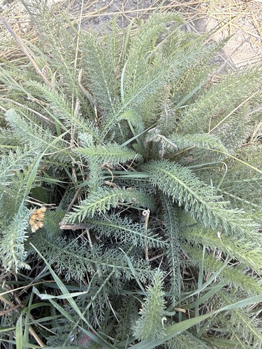
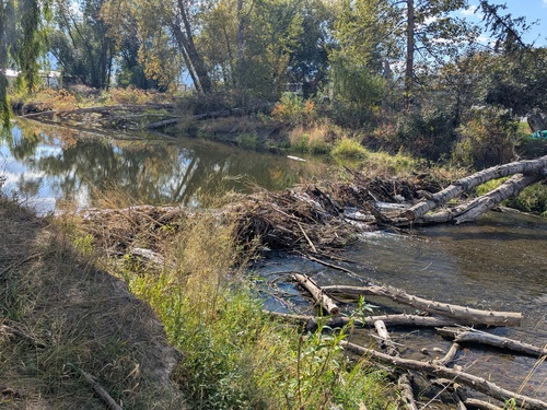
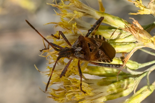
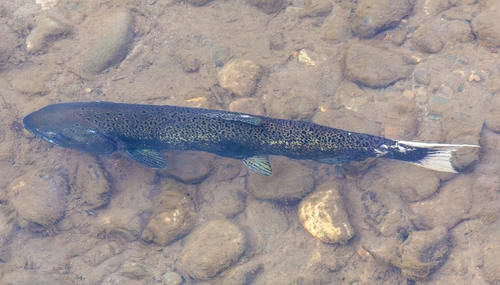
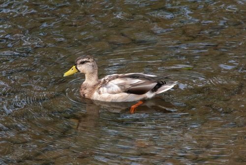
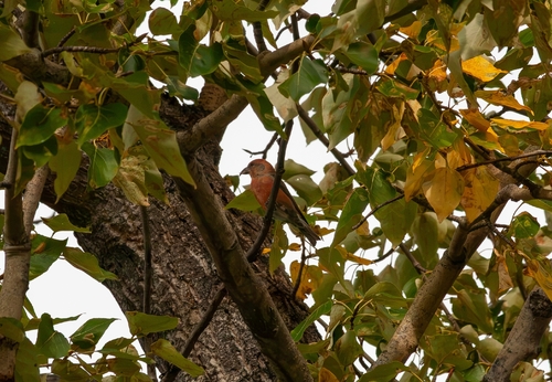
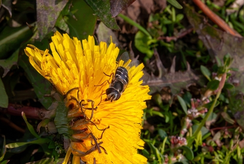
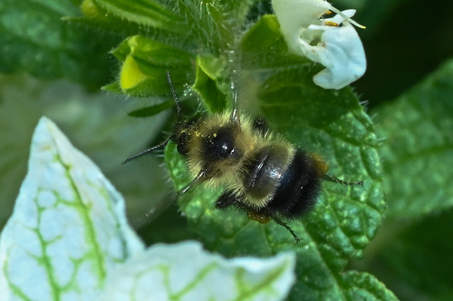
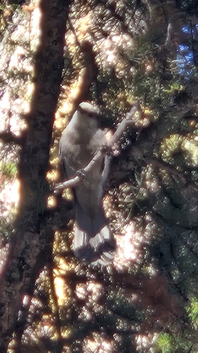
Research-grade observations from iNaturalist (within ~15 mi).
Events
Gallery
Official Identifiers
StatCan — Statistics Canada
- SGC code
- 5933006
- Wikidata
- Q1025990
Standard Geographical Classification (SGC) via Wikidata P3012
Sources
- • Wikipedia
- • Wikidata
- • iNaturalist
- • Open-Meteo / sunrise-sunset.org
- • Wikipedia Pageviews API
- • Open Library
- • NASA EONET
- • StatCan — Statistics Canada — Standard Geographical Classification (SGC) via Wikidata P3012