Browse / Canada / British Columbia / Metchosin
Metchosin
British Columbiavillage

Metchosin
Total population
5,067
Founded
1840
Demographic figures from Statistics Canada. Overview below cites Wikipedia and may reference a different year.
City facts
Facts from Wikidata (CC0).
Overview
The District of Metchosin is a municipality and community in Greater Victoria on the southern tip of Vancouver Island in British Columbia, Canada. It is a coastal community adjacent to the Strait of Juan de Fuca. Metchosin is part of the Western Communities and one of the 13 regional municipalities.
Read more on WikipediaHistory & geography
History
Following the establishment of farms by the Puget Sound Agricultural Company in the Victoria area, independent settlers entered the Metchosin area. In 1851, Captain Cooper bought land on the shores of Witty's Lagoon, that became the first farm in Metchosin, called Bilston Farm and farmed by Thomas Blinkhorn. Other settlers followed and cleared the arable land. In 1861, Race Rocks Lighthouse was built. In the early 1880s, two quarantine stations were built by the federal government, first on Albert Head in 1883 and then William Head, which inspected and controlled all people entering Canada for infectious diseases. Starting in 1924, Bentinck Island was used as a leper colony. As medical procedures progressed, the leper colony was closed in 1956, and in 1958, the quarantine station at William Head was converted into a minimum-security prison. The station at Albert Head became part of CFB Esquimalt. In 1984, the Municipality of the District of Metchosin was incorporated, mainly to protect its rural character from the encroaching suburban sprawl.
Geography
Metchosin has a warm-summer Mediterranean climate (Köppen: Csb) in parts caused by the rain shadow and to the east of the strait of the Strait of Juan de Fuca, but keeping some oceanic characteristics (Cfb). Sligo, Ireland has very close temperatures with only a slightly warmer summer. The biggest difference is in the summer drying, common of the Pacific Northwest.
Excerpted from the corresponding Wikipedia article (CC BY-SA).
Geography
Coordinates & boundaries from the US Census TIGER/Line shapefiles.
Climate
Air quality
Walkability
Amenities nearby
Wildlife & biodiversity
Earthquake history
Photos
Sights & places nearby
Notable people from here

People born within ~10 km, from Wikidata (CC0). Click any name for their Wikipedia article.
Geography & sun
Elevation, sunrise/sunset and daylight from Open-Meteo. Solar climatology from NASA POWER.
Nearby airports
Public attention
Pageview totals from the Wikimedia Pageviews API.
Books about Metchosin


Search results from Open Library.
Recent natural events nearby
- Wildfire Electric, Whatcom, WashingtonWildfires · 2026-08-22 · 98 mi
- Wildfire Thunder Creek, Skagit, WashingtonWildfires · 2026-08-22 · 115 mi
- Wildfire KING, Kittitas, WashingtonWildfires · 2026-08-19 · 123 mi
- Wildfire SISI, Chelan, WashingtonWildfires · 2026-08-14 · 124 mi
- Wildfire GOAT, Kittitas, WashingtonWildfires · 2026-08-22 · 131 mi
- Wildfire Colwash, Yakima, WashingtonWildfires · 2026-08-22 · 218 mi
- Wildfire MITRE ROCK, Stevens, WashingtonWildfires · 2026-08-01 · 242 mi
- Wildfire Austin Non-Stat, Clackamas, OregonWildfires · 2026-08-12 · 244 mi
Wildfires, storms and other events from NASA EONET (last 12 months, within 250 mi).
Ground air-quality sensors
Recently spotted species
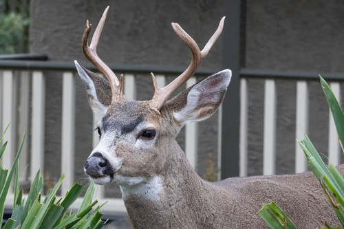
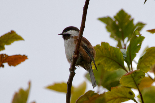
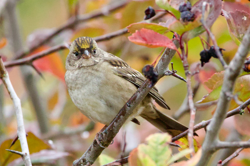
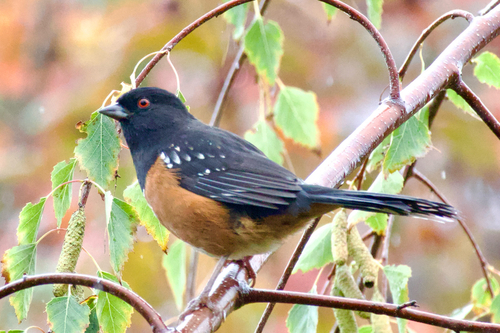
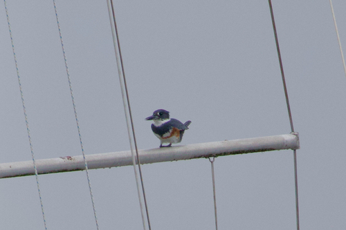
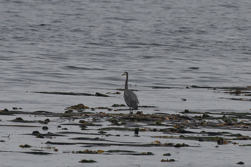
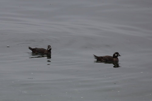
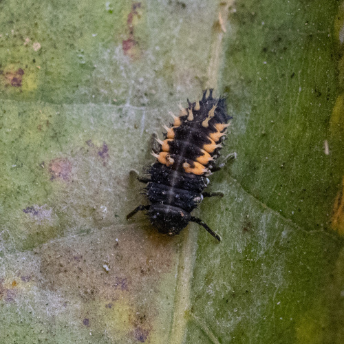
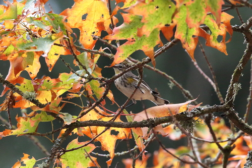
Research-grade observations from iNaturalist (within ~15 mi).
Events
Gallery
Official Identifiers
StatCan — Statistics Canada
- SGC code
- 5917042
- Wikidata
- Q6823363
Standard Geographical Classification (SGC) via Wikidata P3012
Sources
- • Wikipedia
- • Wikidata
- • iNaturalist
- • Open-Meteo / sunrise-sunset.org
- • Wikipedia Pageviews API
- • Open Library
- • NASA EONET
- • StatCan — Statistics Canada — Standard Geographical Classification (SGC) via Wikidata P3012