Browse / United States / California / Mill Valley
Mill Valley
Californiacity

Mill Valley
Total population
14,012
Median home value
$2,000,001
Bachelor's+
Median income
$206,212
Demographic figures from US Census Bureau · ACS 5-year estimates. Overview below cites Wikipedia and may reference a different year.
- Coastal Flood Advisory · MinorCoastal Flood Advisory issued October 1 at 12:20PM PDT until October 2 at 6:00PM PDT by NWS San Francisco CA
Source: NOAA National Weather Service.
City facts
Facts from Wikidata (CC0).
Overview
Mill Valley is a city in Marin County, California, United States, located about 14 miles (23 km) north of San Francisco via the Golden Gate Bridge and 52 miles (84 km) from Napa Valley. The population was 14,231 at the 2020 census.
Read more on WikipediaHistory & geography
History
The first people known to inhabit Marin County, the Coast Miwok, arrived approximately 6,500 years ago. The territory of the Coast Miwok encompasses all of Marin County, north to Bodega Bay and southern Sonoma County. More than 600 village sites have been identified, including 14 sites in the Mill Valley area. Nearby archaeological discoveries include rock carvings and grain-grinding sites on Ring Mountain. The pre-Missionization population of the Coast Miwok is estimated to have been between 1,500 (Alfred L. Kroeber's estimate for the year 1770 AD) and 2,000 (Sherburne F. Cook's estimate for the same year). The pre-Spanish era Coast Miwok population may have even been as high as 5,000. Cook speculated that by 1848, their population had decreased to merely 300, from foreign disease-exposure and Spanish violence, and was down to 60 by 1880. As of 2011, there are over 1,000 registered members of the Federated Indians of Graton Rancheria, which includes both the Coast Miwok and the Southern Pomo, all of whom can date their ancestry back to 14 survivors as original tribal ancestors. In Mill Valley, on Locust Avenue (between Sycamore and Walnut avenues), there is now a metal plaque set in the sidewalk in the area believed to be the birthplace of Chief Marin in 1781; the plaque was dedicated on May 8, 2009. The village site was first identified by Nels Nelson in 1907, and his excavation revealed tools, burials and food debris, among other things, just beyond the driveway of a residence on Locust Ave. At that time, the mound was high. Shell mounds have been discovered in areas by streams and along Richardson Bay, including in the Strawberry and Almonte neighborhoods. Another famous Mill Valley site was in the Manzanita area, underneath the Fireside Inn, previously…
Geography
According to the United States Census Bureau the city has a total area of , of which is land and of (1.73%) water. wildland on the broad eastern face of Mt. Tamalpais that overlooks Mill Valley. These are undeveloped natural areas and contain many species of wild animals, including some large predators like the coyote, the bobcat, and the cougar. Mill Valley has a mild Mediterranean climate which results in relatively wet winters and very dry summers. Winter lows rarely drop below freezing and summer highs rarely peak with 90% of the annual rain falling in November through March. Wind speeds average lower than national averages in winter months and higher in summer, and often become quite gusty in the canyon regions of town. California coastal fog often affects Mill Valley, making relative humidity highly variable. The wetter winter months tend to make for a more consistent daily relative humidity around 70–90% (slightly higher than US averages). During the summer months, however, while the morning fog often keeps morning humidity normal, in a typical 70–80% range, by afternoon after the fog burns off, the humidity regularly plummets to around 30% as one would expect in this dry seasonal climate. Mill Valley is also affected by microclimate conditions in the several box canyons with steep north-facing slopes and dense forests which span the southern and western city limits, which, along with the coastal fog, all conspire to make many of the dense forested regions of Mill Valley noticeably cooler and moister, on average, than other regions of town. This microclimate is what makes for the favorable ecology required by the Coastal Redwood forests which still cover much of the town and surrounding area, and have played such a pivotal role throughout the history of…
Excerpted from the corresponding Wikipedia article (CC BY-SA).
Demographics & economy
Race & ethnicity
Source: US Census Bureau — American Community Survey, 5-year estimates.
Geography
Coordinates & boundaries from the US Census TIGER/Line shapefiles.
Climate
Current forecast
Forecast for Mill Valley, CA from NOAA NWS API.
Air quality
Industrial & pollution facilities
Natural hazard risk
Health (adults)
Age-adjusted prevalence estimates from CDC PLACES (latest release).
Walkability
Amenities nearby
Wildlife & biodiversity
Schools
Largest nearby schools
- Redwood HighHigh · Larkspur · 1,862 students · 20.5:1 ratio
- Tamalpais HighHigh · Mill Valley · 1,540 students · 20.3:1 ratio
- San Rafael HighHigh · San Rafael · 1,265 students · 21.8:1 ratio
- Archie Williams HighHigh · San Anselmo · 1,224 students · 19.4:1 ratio
- Terra Linda HighHigh · San Rafael · 1,189 students · 20.9:1 ratio
- James B. Davidson MiddleMiddle · San Rafael · 1,063 students · 20.1:1 ratio
- Mill Valley MiddleMiddle · Mill Valley · 797 students · 16.3:1 ratio
- Venetia Valley K-8Elementary · San Rafael · 728 students · 20.2:1 ratio
Public K–12 schools within ~10 mi from Urban Institute Education Data Portal (NCES Common Core of Data, 2022).
Earthquake history
Photos
Sights & places nearby
Notable people from here


People born within ~10 km, from Wikidata (CC0). Click any name for their Wikipedia article.
Nearby places in California
- Muir Beach3.8 mi away
- North Richmond10.2 mi away
- East Richmond Heights12.7 mi away
- Nicasio13.6 mi away
- El Sobrante13.8 mi away
- Pinole13.8 mi away
- Black Point-Green Point14.1 mi away
- Piedmont18 mi away
- Point Reyes Station19 mi away
- Orinda20.5 mi away
- Port Costa21.6 mi away
- Alhambra Valley22.5 mi away · pop. 979
Geography & sun
Elevation, sunrise/sunset and daylight from Open-Meteo. Solar climatology from NASA POWER.
Nearby airports
Public attention
Pageview totals from the Wikimedia Pageviews API.
Books about Mill Valley



Search results from Open Library.
Recent natural events nearby
- Wildfire FELIZ, Mendocino, CaliforniaWildfires · 2026-08-01 · 82 mi
- Wildfire LUCAS, Lake, CaliforniaWildfires · 2026-09-10 · 95 mi
- Wildfire LUCAS, Lake, CaliforniaWildfires · 2026-09-10 · 95 mi
- Wildfire GANN, Calaveras, CaliforniaWildfires · 2026-08-03 · 97 mi
- Wildfire Timber, Monterey, CaliforniaWildfires · 2026-08-09 · 125 mi
- Wildfire Plaskett, Monterey, CaliforniaWildfires · 2026-08-26 · 152 mi
- Wildfire DOME, Mariposa, CaliforniaWildfires · 2026-09-15 · 162 mi
- Wildfire FLORISTON, Nevada, CaliforniaWildfires · 2026-09-16 · 170 mi
Wildfires, storms and other events from NASA EONET (last 12 months, within 250 mi).
Ground air-quality sensors
Recently spotted species
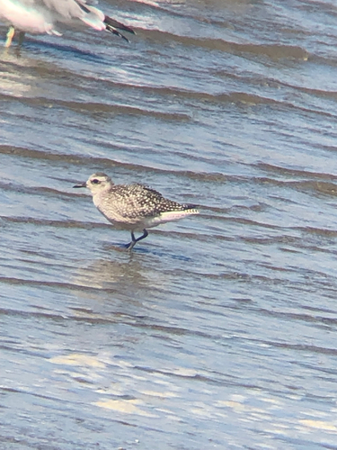
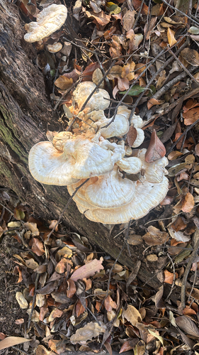
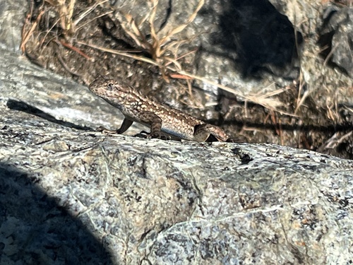
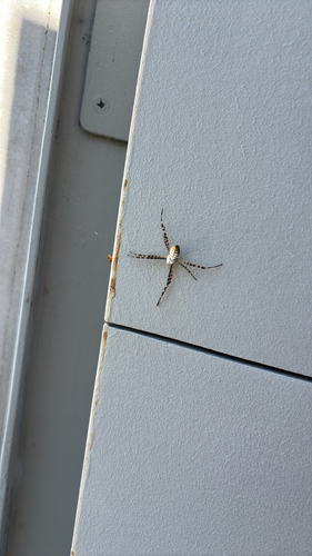
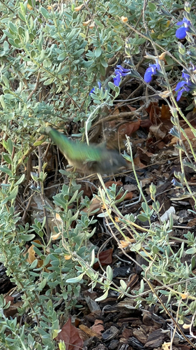
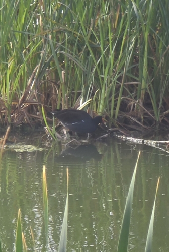
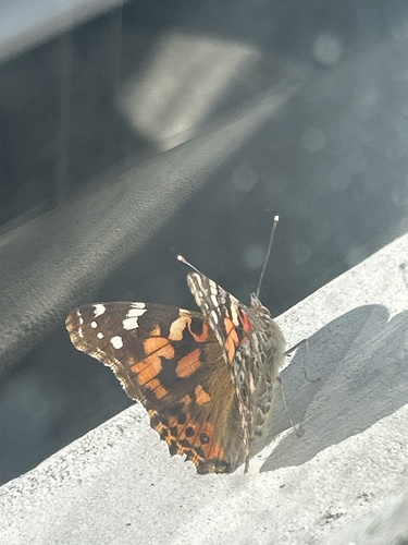
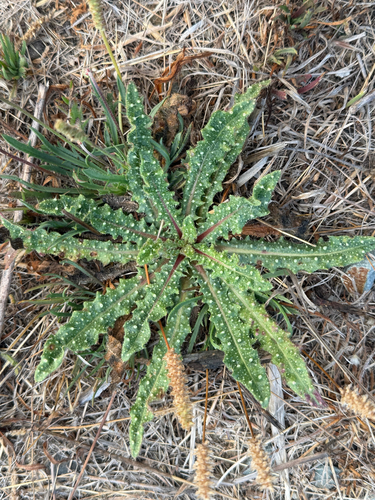
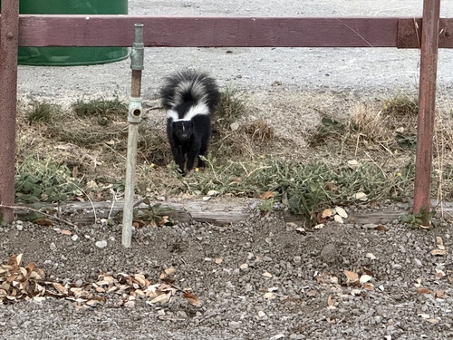
Research-grade observations from iNaturalist (within ~15 mi).
Nearest stream gauge
Live readings from USGS NWIS · measured 2026-10-01 16:30 UTC.
Events
Gallery
Sources
- • Wikipedia
- • US Census Bureau (ACS 5-year estimates)
- • NOAA National Weather Service
- • Wikidata
- • USGS NWIS (water data)
- • NCES via Urban Institute Education Data Portal
- • iNaturalist
- • CDC PLACES
- • Open-Meteo / sunrise-sunset.org
- • Wikipedia Pageviews API
- • Open Library
- • NASA EONET