Browse / United States / California / Millbrae
Millbrae
Californiacity

Millbrae
Total population
22,689
Median home value
$1,934,900
Bachelor's+
Median income
$163,476
Air quality index
Demographic figures from US Census Bureau · ACS 5-year estimates. Overview below cites Wikipedia and may reference a different year.
- Coastal Flood Advisory · MinorCoastal Flood Advisory issued October 1 at 12:20PM PDT until October 2 at 6:00PM PDT by NWS San Francisco CA
- Heat Advisory · ModerateHeat Advisory issued October 1 at 9:43AM PDT until October 4 at 10:00PM PDT by NWS San Francisco CA
Source: NOAA National Weather Service.
City facts
Facts from Wikidata (CC0).
Overview
Millbrae is a city in northern San Mateo County, California, United States. To the northeast is San Francisco International Airport; San Bruno is to the northwest, and Burlingame is to the southeast. It is bordered by San Andreas Lake to the southwest. The population was 23,216 at the 2020 census.
Read more on WikipediaHistory & geography
History
The oral tradition of the Ohlone people suggests they have been living in the Bay Area for thousands of years. Anthropological evidence suggests Ohlone ethnogenesis occurred around 700 CE following a wave of migration from the Central Valley. The local Ohlone people are today called the Ramaytush Ohlone; however, this name is a linguistic designation that arose relatively recently. Prior to colonization, the Ohlone did not operate as a single consolidated unit; they identified more with their local tribe and village than with the nation at large. The several local tribes that lived in the area prior to colonization coalesced into the modern Ramaytush people following the precipitous decline of their population in the 1800s. The closest villages to what is now Millbrae were located by the banks of San Bruno Creek, and they are known as Urebure and Siplichiquin. A third nearby village—whose original name is unknown—is called CA-SMA-299. Anthropological evidence and oral tradition indicate the Ohlone people were living in the Bay Area prior to the 1500s. In 1601, New Spain tasked Sebastián Vizcaíno with mapping the California coastline in detail and locating safe harbors in Alta California for Manila Galleons to use on their return voyage to Acapulco from Manila. In 1602, members of Vizcaíno's expedition explored as far north as Coos Bay, however like previous expeditions, they missed the Golden Gate. In 1603, this expedition landed in Monterey Bay, about 50 miles southeast of Millbrae, leading to the first documented interaction between the Ohlone people and European explorers. Little came of this expedition, and for the next 150 years, Alta California remained a distant frontier land, largely outside of the kingdom's control, despite its claims. Anthropological…
Geography
Millbrae has a total area of , of which is land and , comprising 0.72%, is water.
Excerpted from the corresponding Wikipedia article (CC BY-SA).
Demographics & economy
Race & ethnicity
Source: US Census Bureau — American Community Survey, 5-year estimates.
Geography
Coordinates & boundaries from the US Census TIGER/Line shapefiles.
Climate
Current forecast
Forecast for Millbrae, CA from NOAA NWS API.
Air quality
Current readings from Open-Meteo Air Quality API (Copernicus CAMS European reanalysis).
Industrial & pollution facilities
Natural hazard risk
Health (adults)
Walkability
Amenities nearby
Wildlife & biodiversity
Most-observed species
- American CrowCorvus brachyrhynchos C.L.Brehm, 1822 · Aves55,591
- Anna's HummingbirdCalypte anna (R.Lesson, 1829) · Aves55,245
- House FinchHaemorhous mexicanus (P.L.Statius Müller, 1776) · Aves51,551
- White-crowned SparrowZonotrichia leucophrys (J.R.Forster, 1772) · Aves46,644
- Western GullLarus occidentalis Audubon, 1839 · Aves45,503
- Black PhoebeSayornis nigricans (Swainson, 1827) · Aves43,731
- Common RavenCorvus corax Linnaeus, 1758 · Aves39,928
- California TowheeMelozone crissalis (Vigors, 1839) · Aves39,363
Citizen-science & research observations from the Global Biodiversity Information Facility (GBIF).
Schools
Earthquake history
Photos
Sights & places nearby
Notable people from here


People born within ~10 km, from Wikidata (CC0). Click any name for their Wikipedia article.
Nearby places in California
Geography & sun
Elevation, sunrise/sunset and daylight from Open-Meteo. Solar climatology from NASA POWER.
Nearby airports
Public attention
Pageview totals from the Wikimedia Pageviews API.
Books about Millbrae

Search results from Open Library.
Recent natural events nearby
- Wildfire GANN, Calaveras, CaliforniaWildfires · 2026-08-03 · 96 mi
- Wildfire Timber, Monterey, CaliforniaWildfires · 2026-08-09 · 103 mi
- Wildfire FELIZ, Mendocino, CaliforniaWildfires · 2026-08-01 · 105 mi
- Wildfire LUCAS, Lake, CaliforniaWildfires · 2026-09-10 · 117 mi
- Wildfire LUCAS, Lake, CaliforniaWildfires · 2026-09-10 · 118 mi
- Wildfire Plaskett, Monterey, CaliforniaWildfires · 2026-08-26 · 129 mi
- Wildfire DOME, Mariposa, CaliforniaWildfires · 2026-09-15 · 153 mi
- Wildfire FLORISTON, Nevada, CaliforniaWildfires · 2026-09-16 · 179 mi
Wildfires, storms and other events from NASA EONET (last 12 months, within 250 mi).
Ground air-quality sensors
Recently spotted species
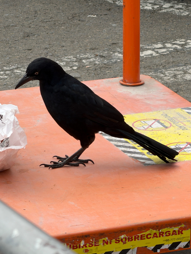
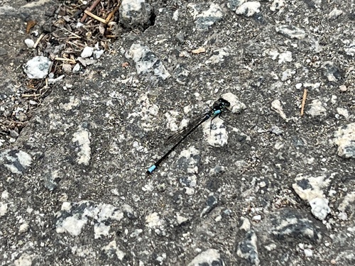
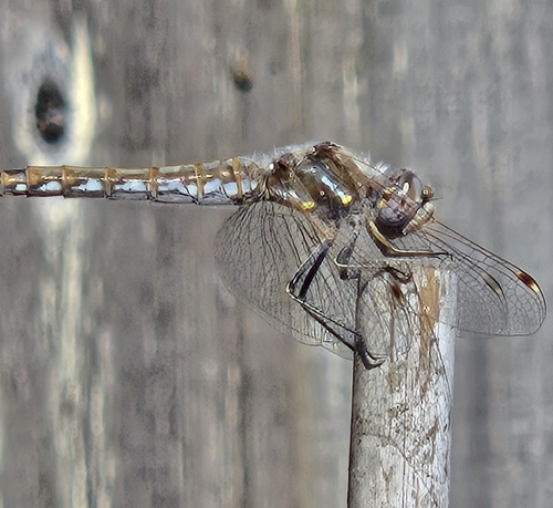
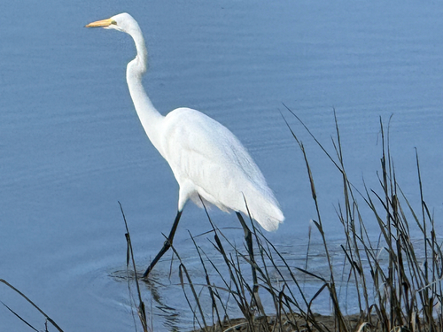
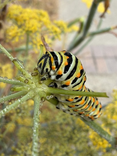
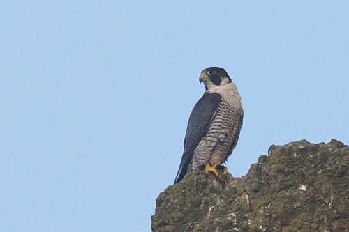
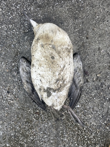
Research-grade observations from iNaturalist (within ~15 mi).
Nearest stream gauge
Events
Gallery
Sources
- • Wikipedia
- • US Census Bureau (ACS 5-year estimates)
- • NOAA National Weather Service
- • Wikidata
- • Open-Meteo Air Quality (CAMS)
- • GBIF (Global Biodiversity Information Facility)
- • iNaturalist
- • Open-Meteo / sunrise-sunset.org
- • Wikipedia Pageviews API
- • Open Library
- • NASA EONET