Browse / United States / California / Milpitas
Milpitas
Californiacity

Milpitas
Total population
79,748
Median home value
$1,456,200
Bachelor's+
Median income
$181,812
Founded
1852
Demographic figures from US Census Bureau · ACS 5-year estimates. Overview below cites Wikipedia and may reference a different year.
- Heat Advisory · ModerateHeat Advisory issued October 1 at 9:43AM PDT until October 4 at 10:00PM PDT by NWS San Francisco CA
Source: NOAA National Weather Service.
City facts
Sister cities
Facts from Wikidata (CC0).
Overview
Milpitas is a city in Santa Clara County, California, United States, in Silicon Valley. As of the 2020 census, the city population was 80,273. The city's origins lie in Rancho Milpitas, granted to Californio ranchero José María Alviso in 1835. Milpitas incorporated in 1954 and has become home to numerous high tech companies, as part of Silicon Valley.
Read more on WikipediaHistory & geography
History
Milpitas was first inhabited by Tamien people, a subgroup of the Ohlone people who had resided in the San Francisco Bay Area for thousands of years. The Ohlone Indians lived a traditional life based on everyday hunting and gathering. Some of the Ohlone lived in various villages within what is now Milpitas, including sites underneath what are now the Calvary Assembly of God Church and Higuera Adobe Park. Archaeological evidence gathered from Ohlone graves at the Elmwood Correctional Facility in 1993 revealed a rich trade with other tribes from Sacramento to Monterey. During the Spanish expeditions of the late 18th century, several missions were founded in the San Francisco Bay Area. During the mission period, Milpitas served as a crossroads between Mission San José de Guadalupe in present-day Fremont and Mission Santa Clara de Asis in present-day Santa Clara. The land of modern-day Milpitas was divided between the Rancho Rincon de Los Esteros (Spanish for "corner of the wetlands") granted to Ignacio Alviso; the Rancho Milpitas (Spanish for "little milpaa" (corn fields)) granted to José María Alviso; and the Rancho Los Tularcitos (Spanish for "little tule marshes") granted to José Higuera. Jose Maria Alviso was the son of Francisco Xavier Alviso and Maria Bojorquez, both of whom arrived in San Francisco as children with the de Anza Expedition. José María Alviso is considered to be the founder of Milpitas. Due to Jose Maria Alviso's descendants' difficulty securing his claims to the Rancho Milpitas property, portions of his land were either swindled from the Alviso family or were sold to American settlers to pay for legal fees. Both landowners had built prominent adobe homes on their properties. Today, both adobes still exist and are the oldest structures in…
Geography
Milpitas lies in the northeastern corner of the Santa Clara Valley, which is south of San Francisco. Milpitas is generally considered to be a San Jose suburb in the South Bay, a term used to denote the southern part of the San Francisco Bay Area. According to the United States Census Bureau, the city has a total area of , of which is land and (0.28%) is water. Local creeks and the nearby San Francisco Bay suffer somewhat from water pollution originating from street water runoff and industrial wastes. The creeks in Milpitas, especially Calera, Scott, and Berryessa Creeks, used to be prime fishing spots for native steelhead until pollutants from urban development and industry killed the fish starting in the 1950s. While small populations of steelhead and even salmon still may be seen in area streams these cannot legally be fished and consumption of legal catches is limited by mercury contamination. The I-880 corridor has experienced relatively elevated levels of air pollution from freeway traffic. For example, eight-hour standards for carbon monoxide have been near to maximum levels for the last two decades. Set within a warm Mediterranean climate zone in Santa Clara County, Milpitas enjoys warm, sunny weather with few extreme temperatures. Rainfall is confined mostly to the winter months. During winter, temperatures are relatively cold, at an average of . Showers and cloudy days come and go during this season, dropping most of the city's annual of precipitation, and as spring approaches, the gentle rains gradually dwindle. In summer, the grasslands on the hillsides dehydrate rapidly and form bright, golden sheets on the mountains set off by stands of oak. Summer is dry and warm but not hot like in other parts the Bay Area. Temperatures infrequently reach over ,…
Excerpted from the corresponding Wikipedia article (CC BY-SA).
Demographics & economy
Race & ethnicity
Source: US Census Bureau — American Community Survey, 5-year estimates.
Geography
Coordinates & boundaries from the US Census TIGER/Line shapefiles.
Climate
Current forecast
Forecast for Milpitas, CA from NOAA NWS API.
Air quality
Industrial & pollution facilities
Natural hazard risk
Health (adults)
Walkability
Amenities nearby
Wildlife & biodiversity
Most-observed species
- Anna's HummingbirdCalypte anna (R.Lesson, 1829) · Aves63,876
- House FinchHaemorhous mexicanus (P.L.Statius Müller, 1776) · Aves62,689
- Black PhoebeSayornis nigricans (Swainson, 1827) · Aves60,732
- American CrowCorvus brachyrhynchos C.L.Brehm, 1822 · Aves60,555
- California TowheeMelozone crissalis (Vigors, 1839) · Aves52,488
- MallardAnas platyrhynchos Linnaeus, 1758 · Aves48,228
- Turkey VultureCathartes aura (Linnaeus, 1758) · Aves42,318
- Bewick's WrenThryomanes bewickii (Audubon, 1827) · Aves42,073
Citizen-science & research observations from the Global Biodiversity Information Facility (GBIF).
Schools
Earthquake history
Most recent
- M 2.54 — 2026-10-1510 km ESE of Gilroy, CA
- M 2.6 — 2026-09-2726 km WSW of Westley, CA
- M 3.32 — 2026-09-2727 km WSW of Westley, CA
- M 2.56 — 2026-09-232 km NW of Hollister, CA
- M 2.51 — 2026-09-1910 km ENE of Milpitas, CA
- M 2.53 — 2026-09-172 km ENE of Aromas, CA
Events from the USGS Earthquake Catalog (global) (FDSN Event Web Service).
Photos
Sights & places nearby
Notable people from here


People born within ~10 km, from Wikidata (CC0). Click any name for their Wikipedia article.
Nearby places in California
- East Foothills5.5 mi away · pop. 7,139
- Los Altos Hills14.3 mi away · pop. 8,377
- North Fair Oaks17.4 mi away
- Fairview18.9 mi away · pop. 10,745
- San Lorenzo21.5 mi away
- La Honda21.7 mi away
- Norris Canyon22.2 mi away
- Lompico23.7 mi away
- Ben Lomond26.8 mi away · pop. 6,858
- Mount Hermon27.9 mi away · pop. 939
- San Martin29.1 mi away
- Felton29.2 mi away · pop. 4,093
Geography & sun
Elevation, sunrise/sunset and daylight from Open-Meteo. Solar climatology from NASA POWER.
Nearby airports
Public attention
Pageview totals from the Wikimedia Pageviews API.
Books about Milpitas
Search results from Open Library.
Recent natural events nearby
- Wildfire GANN, Calaveras, CaliforniaWildfires · 2026-08-03 · 77 mi
- Wildfire Timber, Monterey, CaliforniaWildfires · 2026-08-09 · 85 mi
- Wildfire Plaskett, Monterey, CaliforniaWildfires · 2026-08-26 · 109 mi
- Wildfire DOME, Mariposa, CaliforniaWildfires · 2026-09-15 · 125 mi
- Wildfire LUCAS, Lake, CaliforniaWildfires · 2026-09-10 · 138 mi
- Wildfire LUCAS, Lake, CaliforniaWildfires · 2026-09-10 · 138 mi
- Wildfire FLORISTON, Nevada, CaliforniaWildfires · 2026-09-16 · 169 mi
- Prescribed Fire CRAWFORD CORRAL RX, Tulare, CaliforniaWildfires · 2026-09-19 · 171 mi
Wildfires, storms and other events from NASA EONET (last 12 months, within 250 mi).
Ground air-quality sensors
Recently spotted species
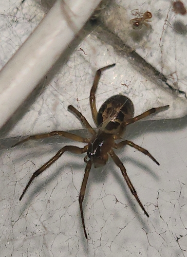
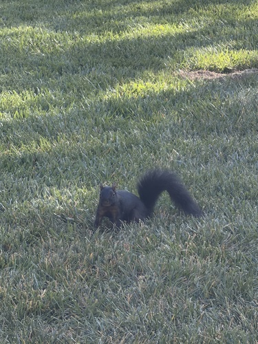
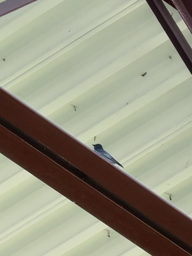
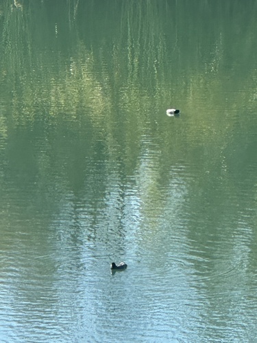
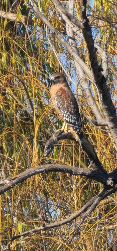
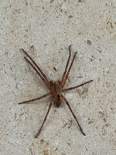
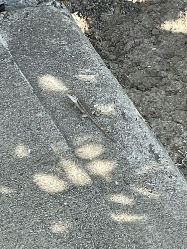
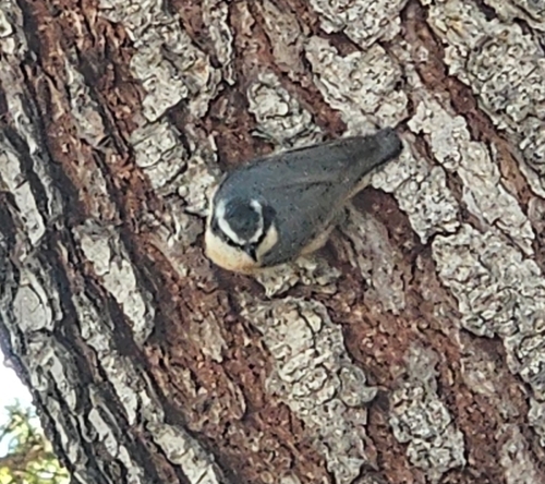
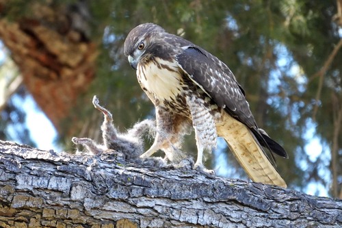
Research-grade observations from iNaturalist (within ~15 mi).
Nearest stream gauge
Live readings from USGS NWIS · measured 2026-09-16 23:00 UTC.
Events
Gallery
Sources
- • Wikipedia
- • US Census Bureau (ACS 5-year estimates)
- • NOAA National Weather Service
- • Wikidata
- • USGS Earthquake Catalog (global feed)
- • USGS NWIS (water data)
- • GBIF (Global Biodiversity Information Facility)
- • iNaturalist
- • Open-Meteo / sunrise-sunset.org
- • Wikipedia Pageviews API
- • Open Library
- • NASA EONET