Browse / Canada / Manitoba / Miniota
Miniota
Manitobavillage
Demographic figures from Statistics Canada. Overview below cites Wikipedia and may reference a different year.
City facts
Overview
Miniota, Manitoba is an unincorporated community recognized as a local urban district in Prairie View Municipality, Manitoba, Canada. It is located northwest of Virden near the intersection of PTH 83 and PTH 24. The post office opened in 1885 on 36-13-27W. It was originally named Parkisimo and changed to its present name in 1900. It had two railways in its history: the Canadian Pacific Railway and the Grand Trunk Railway. Both had rail points about one mile apart, and there was a Miniota Station on the latter.
Read more on WikipediaHistory & geography
Geography
Coordinates & boundaries from the US Census TIGER/Line shapefiles.
Climate
Air quality
Walkability
Amenities nearby
Wildlife & biodiversity
Earthquake history
Photos
Sights & places nearby
Notable people from here
Nearby places in Manitoba
Geography & sun
Elevation, sunrise/sunset and daylight from Open-Meteo. Solar climatology from NASA POWER.
Nearby airports
Public attention
Pageview totals from the Wikimedia Pageviews API.
Books about Miniota
Search results from Open Library.
Recent natural events nearby
Ground air-quality sensors
Recently spotted species
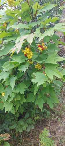
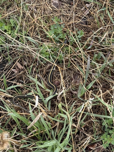

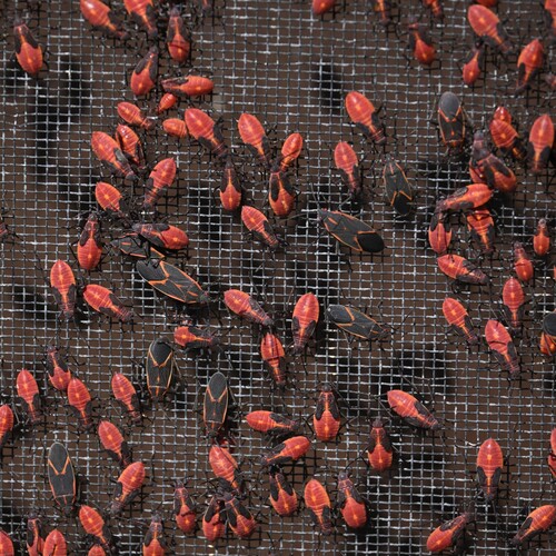
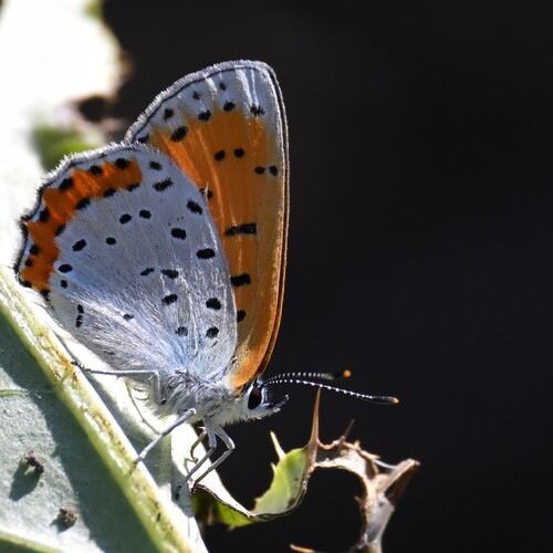
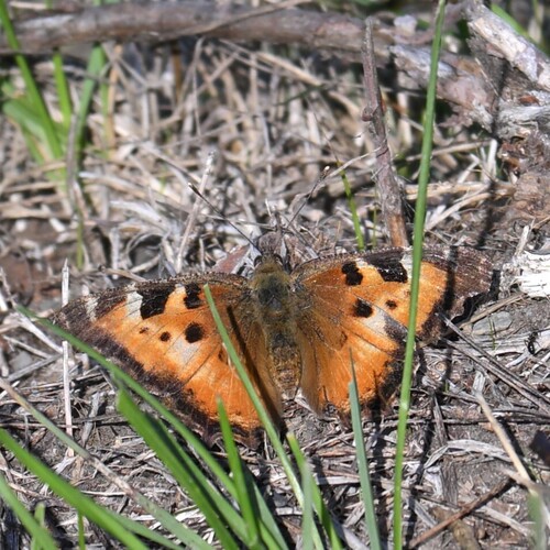
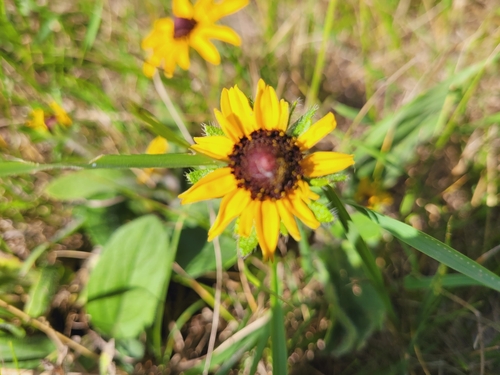
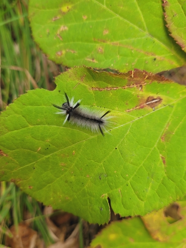
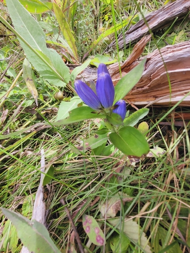
Research-grade observations from iNaturalist (within ~15 mi).
Events
Gallery
Sources
- • Wikipedia
- • iNaturalist
- • Open-Meteo / sunrise-sunset.org
- • Wikipedia Pageviews API
- • Open Library