Browse / Canada / Manitoba / Minnedosa
Minnedosa
Manitobatown

Minnedosa
Total population
2,517
Founded
1883
Demographic figures from Statistics Canada. Overview below cites Wikipedia and may reference a different year.
City facts
Facts from Wikidata (CC0).
Overview
Minnedosa is a town in the southwestern part of the Canadian province of Manitoba situated 50 kilometres (32 mi) north of Brandon, Manitoba on the Little Saskatchewan River. The town's name means "flowing water" in the Dakota language. The population of Minnedosa reported in the 2021 Canadian Census was 2,741. The town is surrounded by the Rural Municipality of Minto – Odanah.
Read more on WikipediaHistory & geography
History
Prior to the arrival of Europeans in the area of Minnedosa, the land was primarily travelled and used by the nomadic Ojibway, Cree, Assiniboine, and Sioux peoples. John Tanner was the grandson of John Tanner who had been raised by an Odawa. He was an American settler who arrived in the area in 1869. In 1883 Minnedosa was incorporated as a town, it had experienced a period of growth from settlement schemes put forth by the Canadian government. Since 1981 the Minnedosa Ethanol Plant has been producing ethanol to be blended into gasoline, as of late 2007 it has been expanded into one of the largest ethanol facilities in Canada. This plant is owned and operated by Husky Energy.
Geography
Minnedosa has a humid continental climate (Köppen dfb) typical of southern Manitoba. As a result of its far inland position at a relatively high latitude, winters are extremely cold with a January mean of below . In the relatively short summers Minnedosa experiences warm and sometimes hot temperatures due to warmer continental air masses. It is prone to cold nights year-round, with every calendar month having recorded air frost.
Excerpted from the corresponding Wikipedia article (CC BY-SA).
Geography
Coordinates & boundaries from the US Census TIGER/Line shapefiles.
Climate
Air quality
Walkability
Amenities nearby
Wildlife & biodiversity
Earthquake history
Photos
Sights & places nearby
Notable people from here


People born within ~10 km, from Wikidata (CC0). Click any name for their Wikipedia article.
Geography & sun
Elevation, sunrise/sunset and daylight from Open-Meteo. Solar climatology from NASA POWER.
Nearby airports
Public attention
Pageview totals from the Wikimedia Pageviews API.
Books about Minnedosa


Search results from Open Library.
Recent natural events nearby
Ground air-quality sensors
Recently spotted species
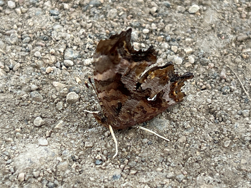
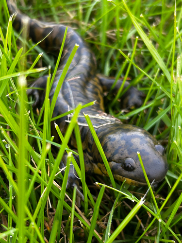
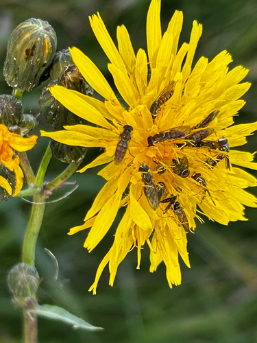
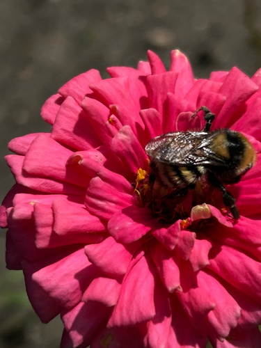
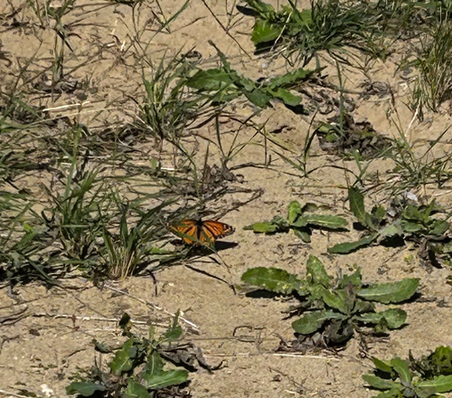
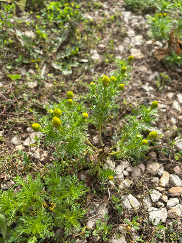
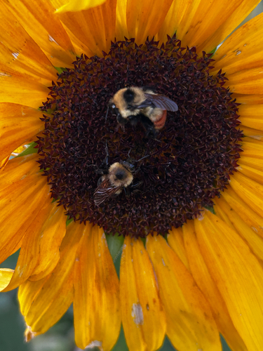
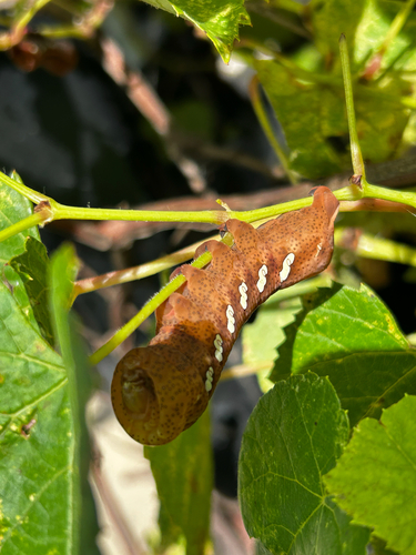
Research-grade observations from iNaturalist (within ~15 mi).
Events
Gallery
Official Identifiers
StatCan — Statistics Canada
- SGC code
- 4615075
- Population (Wikidata)
- 2,449
- Wikidata
- Q281649
Standard Geographical Classification (SGC) via Wikidata P3012
Sources
- • Wikipedia
- • Wikidata
- • iNaturalist
- • Open-Meteo / sunrise-sunset.org
- • Wikipedia Pageviews API
- • Open Library
- • StatCan — Statistics Canada — Standard Geographical Classification (SGC) via Wikidata P3012