Browse / Canada / Saskatchewan / Missinipe
Missinipe
Saskatchewanvillage

Missinipe
Total population
27
Demographic figures from Statistics Canada. Overview below cites Wikipedia and may reference a different year.
City facts
Overview
Missinipe, meaning "big water" or "difficult river", is a northern settlement in northern Saskatchewan along the western shore of Otter Lake. The northern settlement is 80 kilometres (50 mi) north of La Ronge along Highway 2 within the Northern Saskatchewan Administration District and the provincial Census Division No. 18.
Read more on WikipediaHistory & geography
History
Missinipe was previously incorporated as a northern hamlet. It disorganized from northern hamlet status to become a northern settlement under the jurisdiction of the Northern Saskatchewan Administration District on October 1, 2009. Tourism Saskatchewan confirms that the community's etymological origins come from the Churchill River but states that the word is instead Mahttawi-sipiy, meaning "difficult river".
Geography
Missinipe is north of La Ronge and north of the nearest city, Prince Albert. Along Highway 102, the northern settlement is between Sucker River Indian Reserve 156C and Brabant Lake. The community of Grandmother's Bay, an extension of the Lac La Ronge First Nation, lies approximately 5 miles to the northeast, directly across Otter Lake.
Excerpted from the corresponding Wikipedia article (CC BY-SA).
Geography
Coordinates & boundaries from the US Census TIGER/Line shapefiles.
Climate
Air quality
Walkability
Amenities nearby
Wildlife & biodiversity
Earthquake history
Photos
Sights & places nearby
Notable people from here
Nearby places in Saskatchewan
- Sturgeon Lake162.3 mi away
- Big River168.4 mi away · pop. 1,140
- Kamienna Wola4411.9 mi away · pop. 330
- Bernów4412.5 mi away · pop. 160
- Maleniec4414.6 mi away · pop. 150
- Gracuch4415.9 mi away · pop. 190
- Wyszyna Machorowska4416.1 mi away · pop. 110
- Komaszyce4416.9 mi away · pop. 180
- Ruda Maleniecka4417.9 mi away · pop. 610
- Hucisko4419.2 mi away · pop. 160
- Drutarnia4419.5 mi away
- Stara Kuźnica4420.1 mi away · pop. 140
Geography & sun
Elevation, sunrise/sunset and daylight from Open-Meteo. Solar climatology from NASA POWER.
Nearby airports
Public attention
Pageview totals from the Wikimedia Pageviews API.
Books about Missinipe
Search results from Open Library.
Recent natural events nearby
Ground air-quality sensors
Recently spotted species
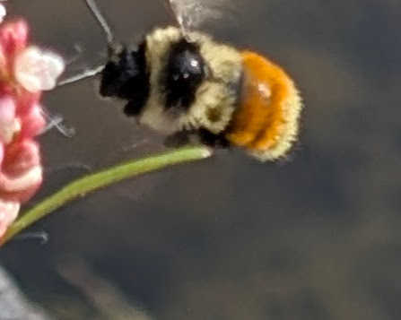
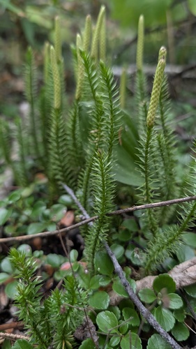
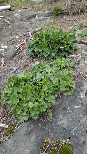
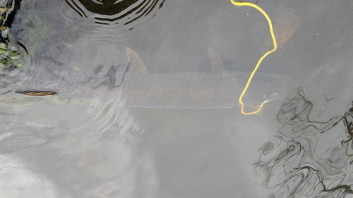
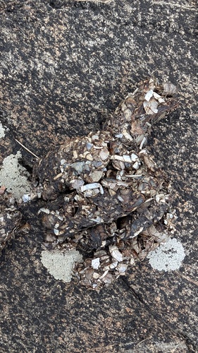
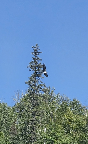
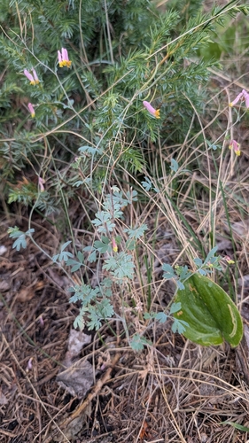
Research-grade observations from iNaturalist (within ~15 mi).
Events
Gallery
Official Identifiers
StatCan — Statistics Canada
- SGC code
- 4718062
- Wikidata
- Q6878448
Standard Geographical Classification (SGC) via Wikidata P3012
Sources
- • Wikipedia
- • Wikidata
- • iNaturalist
- • Open-Meteo / sunrise-sunset.org
- • Wikipedia Pageviews API
- • Open Library
- • StatCan — Statistics Canada — Standard Geographical Classification (SGC) via Wikidata P3012