Browse / United States / California / Mokelumne Hill
Mokelumne Hill
CaliforniaCDP

Mokelumne Hill
Total population
968
Median home value
$376,600
Bachelor's+
Median income
$88,685
Demographic figures from US Census Bureau · ACS 5-year estimates. Overview below cites Wikipedia and may reference a different year.
City facts
Facts from Wikidata (CC0).
Overview
Mokelumne Hill is a census-designated place (CDP) in Calaveras County, California, United States. The population was 691 at the 2020 census, up from 646 at the 2010 census. It is commonly referred to as "Moke Hill" by locals. The town takes its name from the neighboring Mokelumne River, which in turn is Miwok for the "people of Mokel," the likely name of a Native American village in the area.
Read more on WikipediaHistory & geography
History
Mokelumne Hill was one of the richest gold mining towns in California. Founded in 1848 by a group of Oregonians, the placers were so rich that the miners risked starvation rather than head to Stockton to replenish their supplies (one finally did and made it rich by becoming a merchant). Soon after, gold was discovered in the nearby hills, so much so that miners were restricted to claims of , and yet many of those claims were reported to have paid up to $20,000. By 1850 the town was one of the largest in the area. Its population reached as high as 15,000 with people of all nationalities, particularly Americans, Frenchmen, Germans, Spaniards, Chileans, Mexicans, and Chinese. Besides racial tensions, the easy gold attracted criminal elements, and the town gained a reputation as one of the bawdiest in the area. Notorious bandit Joaquin Murrieta is said to have been a frequent visitor to the gambling venues. Violence was a major problem as well. In 1851, there was at least one homicide a week for seventeen consecutive weeks. On January 3, 1850, the town was site where Chileans involved in the Chile War of 1849 were punished. Three were executed, nine received 100 lashes each and one was cropped. The severity of these punishment stand out as corporal punishment including maiming were otherwise in decline in the Western world. Also in 1851, the first post office was established in the town, and in 1852 the town became the county seat. In the same year a vigilance committee was formed and the worst of the crime was eliminated. By the 1860s the gold started to run out and the town's population and importance diminished. When San Andreas became the new county seat in 1866, Mokelumne Hill's status declined even further. The town today is a quiet place, with much tourism due…
Geography
According to the United States Census Bureau, the CDP has a total area of 3.1 square miles (8.0 km), over 99% of it land. According to the Köppen Climate Classification system, Mokelumne Hill has a hot-summer Mediterranean climate, abbreviated "Csa" on climate maps.
Excerpted from the corresponding Wikipedia article (CC BY-SA).
Demographics & economy
Race & ethnicity
Source: US Census Bureau — American Community Survey, 5-year estimates.
Geography
Coordinates & boundaries from the US Census TIGER/Line shapefiles.
Climate
Current forecast
Forecast for Mokelumne Hill, CA from NOAA NWS API.
Air quality
Industrial & pollution facilities
Natural hazard risk
Health (adults)
Age-adjusted prevalence estimates from CDC PLACES (latest release).
Walkability
Amenities nearby
Wildlife & biodiversity
Schools
Largest nearby schools
- Calaveras HighHigh · San Andreas · 746 students · 20.2:1 ratio
- Toyon MiddleMiddle · Valley Springs · 531 students · 23.1:1 ratio
- San Andreas ElementaryElementary · San Andreas · 320 students · 21.3:1 ratio
- Mokelumne Hill ElementaryElementary · Mokelumne Hill · 158 students · 19.8:1 ratio
- Calaveras Unified Alternative-Sierra Hills Education CenterOther · San Andreas · 111 students · 27.8:1 ratio
- Gold Strike HighHigh · San Andreas · 49 students · 49:1 ratio
Public K–12 schools within ~10 mi from Urban Institute Education Data Portal (NCES Common Core of Data, 2022).
Earthquake history
Photos
Sights & places nearby
Notable people from here


People born within ~10 km, from Wikidata (CC0). Click any name for their Wikipedia article.
Nearby places in California
Geography & sun
Elevation, sunrise/sunset and daylight from Open-Meteo. Solar climatology from NASA POWER.
Nearby airports
Public attention
Pageview totals from the Wikimedia Pageviews API.
Books about Mokelumne Hill
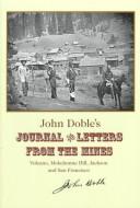
Search results from Open Library.
Recent natural events nearby
- Wildfire GANN, Calaveras, CaliforniaWildfires · 2026-08-03 · 14 mi
- Wildfire DOME, Mariposa, CaliforniaWildfires · 2026-09-15 · 78 mi
- Wildfire FLORISTON, Nevada, CaliforniaWildfires · 2026-09-16 · 83 mi
- Wildfire Hawk, Washoe, NevadaWildfires · 2026-08-22 · 94 mi
- Wildfire Hawk, Washoe, NevadaWildfires · 2026-08-22 · 94 mi
- Wildfire Bug, Lassen, CaliforniaWildfires · 2026-08-08 · 104 mi
- Wildfire Fred Mt, Washoe, NevadaWildfires · 2026-08-09 · 110 mi
- Wildfire Stallion, Washoe, NevadaWildfires · 2026-08-10 · 122 mi
Wildfires, storms and other events from NASA EONET (last 12 months, within 250 mi).
Ground air-quality sensors
Recently spotted species
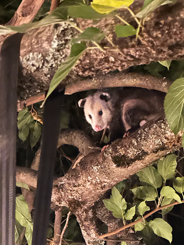
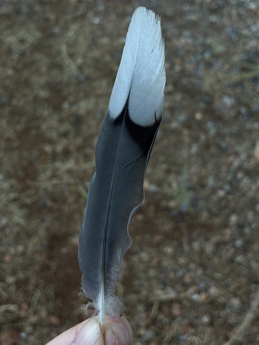
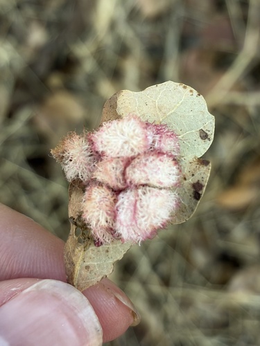
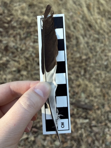
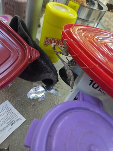
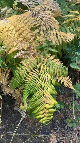
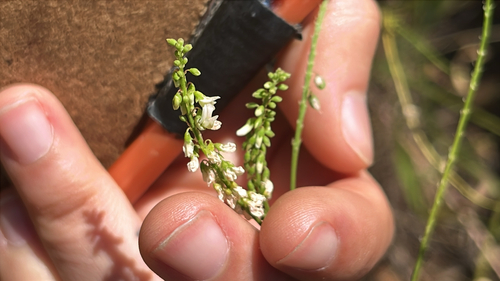
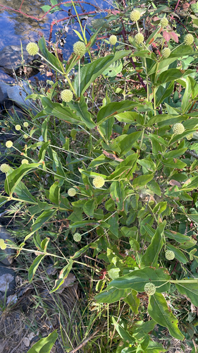
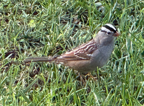
Research-grade observations from iNaturalist (within ~15 mi).
Nearest stream gauge
Events
Gallery
Sources
- • Wikipedia
- • US Census Bureau (ACS 5-year estimates)
- • NOAA National Weather Service
- • Wikidata
- • NCES via Urban Institute Education Data Portal
- • iNaturalist
- • CDC PLACES
- • Open-Meteo / sunrise-sunset.org
- • Wikipedia Pageviews API
- • Open Library
- • NASA EONET