Browse / Canada / New Brunswick / Moncton
Moncton
New Brunswickcity

Moncton
Total population
79,470
Founded
1766
Demographic figures from Statistics Canada. Overview below cites Wikipedia and may reference a different year.
City facts
Facts from Wikidata (CC0).
Overview
Moncton is the most populous city in the Canadian province of New Brunswick. Situated in the Petitcodiac River Valley, it lies at the geographic centre of the Maritime Provinces. The city has earned the nickname "Hub City" because of its central inland location in the region and its history as a railway and land transportation hub for the Maritimes. As of the 2025 Statistics Canada estimates, the city had a population of 102,378, the first time that a New Brunswick city had a population of more than 100,000 people. The metropolitan population in 2025 was 196,143, making it one of the fastest growing census metropolitan areas (CMA) in Canada. Its land area is 140.67 square kilometres (54.31 sq mi).
Read more on WikipediaHistory & geography
History
Acadians settled the head of the Bay of Fundy in the 1670s. The first reference to the "Petcoucoyer River" was on the De Meulles map of 1686. Settlement of the Petitcodiac and Memramcook river valleys began about 1700, gradually extending inland and reaching the site of present-day Moncton in 1733. The first Acadian settlers in the Moncton area established a marshland farming community and chose to name their settlement Le Coude ("The Elbow"), an allusion to the 90° bend in the river near the site of the settlement. In 1755, nearby Fort Beauséjour was captured by British forces under the command of Lt. Col. Robert Monckton. The Beaubassin region including the Memramcook and Petitcodiac river valleys subsequently fell under English control. Later that year, Governor Charles Lawrence issued a decree ordering the expulsion of the Acadian population from Nova Scotia (including recently captured areas of Acadia such as Le Coude). This action came to be known as the "Great Upheaval". The reaches of the upper Petitcodiac River valley then came under the control of the Philadelphia Land Company (one of the principals of which was Benjamin Franklin). In 1766, Pennsylvania German settlers arrived to reestablish the preexisting farming community at Le Coude. The Settlers consisted of eight families: Heinrich Stief (Steeves), Jacob Treitz (Trites), Matthias Sommer (Somers), Jacob Reicker (Ricker), Charles Jones (Schantz), George Wortmann (Wortman), Michael Lutz (Lutes), and George Koppel (Copple). There is a plaque dedicated in their honour at the mouth of Hall's Creek. They renamed the settlement "The Bend". The prosperity engendered by the wooden shipbuilding industry allowed The Bend to incorporate as the town of Moncton in 1855. Although the town was named for Monckton, At…
Geography
Moncton lies in southeastern New Brunswick, at the geographic centre of the Maritime Provinces. The city is along the north bank of the Petitcodiac River at a point where the river bends acutely from west−east to north−south flow. This geographical feature has contributed significantly to historical names for the community. Petitcodiac in the Mi'kmaq language has been translated as "bends like a bow". The early Acadian settlers in the region named their community Le Coude ("the elbow"). The Petitcodiac River exhibits one of North America's few tidal bores: a regularly occurring wave that travels up the river on the leading edge of the incoming tide. The bore is a result of the Bay of Fundy's extreme tides. Originally, the bore was very impressive, sometimes between high and extending across the width of the Petitcodiac River in the Moncton area. This wave occurred twice a day at high tide, travelling at an average speed of and producing an audible roar. The "bore" became a very popular early tourist attraction for the city, but when the Petitcodiac causeway was built in the 1960s, the river channel quickly silted in and reduced the bore so that it rarely exceeded in height. In April 2010, the causeway gates were opened in an effort to restore the silt-laden river. Despite being less than from the Bay of Fundy and less than from the Northumberland Strait, the climate tends to be more continental than maritime during the summer and winter seasons, with maritime influences somewhat tempering the transitional seasons of spring and autumn. Moncton has a warm summer humid continental climate (Köppen climate classification Dfb) with uniform precipitation distribution. Winter days are typically cold but sunny, with solar radiation generating some warmth. Daytime high…
Excerpted from the corresponding Wikipedia article (CC BY-SA).
Geography
Coordinates & boundaries from the US Census TIGER/Line shapefiles.
Climate
Air quality
Walkability
Amenities nearby
Wildlife & biodiversity
Earthquake history
Photos
Sights & places nearby
Notable people from here
Nearby places in New Brunswick
Geography & sun
Elevation, sunrise/sunset and daylight from Open-Meteo. Solar climatology from NASA POWER.
Nearby airports
Public attention
Pageview totals from the Wikimedia Pageviews API.
Books about Moncton
Search results from Open Library.
Recent natural events nearby
Ground air-quality sensors
Recently spotted species



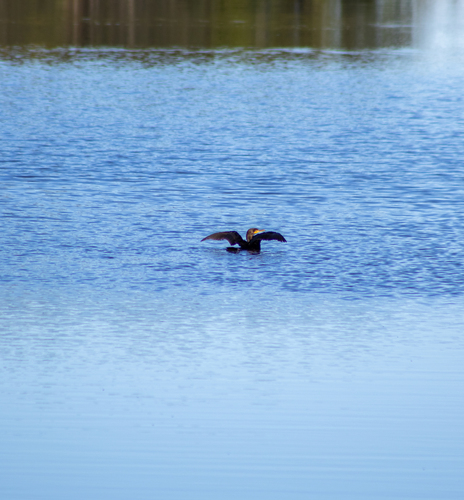


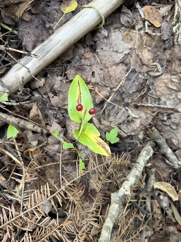


Research-grade observations from iNaturalist (within ~15 mi).
Events
Notable, recurring, and historical events associated with Moncton, sourced from Wikidata.
Source: Wikidata (CC0).
Gallery
Official Identifiers
StatCan — Statistics Canada
- SGC code
- 1307022
- Population (Wikidata)
- 79,470
- Wikidata
- Q457334
Standard Geographical Classification (SGC) via Wikidata P3012
Sources
- • Wikipedia
- • Wikidata
- • iNaturalist
- • Open-Meteo / sunrise-sunset.org
- • Wikipedia Pageviews API
- • Open Library
- • StatCan — Statistics Canada — Standard Geographical Classification (SGC) via Wikidata P3012