Browse / Canada / Saskatchewan / Moose Jaw
Moose Jaw
Saskatchewancity

Moose Jaw
Total population
33,890
Demographic figures from Statistics Canada. Overview below cites Wikipedia and may reference a different year.
City facts
Overview
Moose Jaw is the fourth-largest city in Saskatchewan, Canada. Lying on the Moose Jaw River in the south-central part of the province, it is situated on the Trans-Canada Highway, 177 kilometres (110 mi) east of Swift Current and 77 kilometres (48 mi) west of Regina. Residents of Moose Jaw are known as Moose Javians. The city is surrounded by the Rural Municipality of Moose Jaw No. 161.
Read more on WikipediaHistory & geography
History
Cree and Assiniboine people used the Moose Jaw area as a winter encampment. The Missouri Coteau sheltered the valley and gave it warm breezes. The narrow river crossing and abundant water and game made it a good location for settlement. Traditional native fur traders and Métis buffalo hunters created the first permanent settlement at a place called "the turn", at present-day Kingsway Park, also known as the Kai Gauthier Park. The confluence of the Moose Jaw River and Thunder Creek was chosen and registered in 1881 as a site for a division point for the Canadian Pacific Railway (CPR), whose construction was significant in the Confederation of Canada. The water supply there was significant for steam locomotives. Settlement began there in 1882, and the city was incorporated in 1903. The railways played an important role in the early development of Moose Jaw, with the city having both a Canadian Pacific Railway Station and a Canadian National Railway Station. A dam was built on the river in 1883 to create a year-round water supply. Marked on a map as Moose Jaw Bone Creek in an 1857 survey by surveyor John Palliser, two theories exist regarding how the city was named. The first is it comes from the Plains Cree name moscâstani-sîpiy meaning "a warm place by the river", indicative of the protection from the weather the Coteau range provides to the river valley containing the city and also the Plains Cree word moscâs, meaning warm breezes. The other is that the section of the Moose Jaw River that runs through the city is shaped like a moose's jaw. There is also an untrue story of the name being inspired by the Earl of Dunmore, for whom Dunmore, Alberta is named, repairing his cart with the jawbone of a moose during his travels there. The city was the site of the 1954…
Excerpted from the corresponding Wikipedia article (CC BY-SA).
Geography
Coordinates & boundaries from the US Census TIGER/Line shapefiles.
Climate
Air quality
Walkability
Amenities nearby
Wildlife & biodiversity
Most-observed species
- House SparrowPasser domesticus (Linnaeus, 1758) · Aves1,181
- American RobinTurdus migratorius Linnaeus, 1766 · Aves1,022
- Black-capped ChickadeePoecile atricapillus (Linnaeus, 1766) · Aves950
- MallardAnas platyrhynchos Linnaeus, 1758 · Aves807
- House FinchHaemorhous mexicanus (P.L.Statius Müller, 1776) · Aves750
- Mourning DoveZenaida macroura (Linnaeus, 1758) · Aves698
- Black-billed MagpiePica hudsonia (Sabine, 1823) · Aves613
- Canada Goose (canadensis Group)Branta canadensis (Linnaeus, 1758) · Aves584
Citizen-science & research observations from the Global Biodiversity Information Facility (GBIF).
Earthquake history
Events from the USGS Earthquake Catalog (global) (FDSN Event Web Service).
Photos
Sights & places nearby
Notable people from here


People born within ~10 km, from Wikidata (CC0). Click any name for their Wikipedia article.
Nearby places in Saskatchewan
- Sturgeon Lake208.1 mi away
- Big River229.3 mi away · pop. 1,140
- Petrykozy4727.8 mi away
- Rudzisko4728.1 mi away · pop. 55
- Giełzów4728.4 mi away · pop. 400
- Kamienna Wola4728.5 mi away · pop. 330
- Bernów4729.1 mi away · pop. 160
- Skrzyszów4729.3 mi away · pop. 200
- Maleniec4730.4 mi away · pop. 150
- Wyszyna Machorowska4731.9 mi away · pop. 110
- Gracuch4732.2 mi away · pop. 190
- Komaszyce4733.4 mi away · pop. 180
Geography & sun
Elevation, sunrise/sunset and daylight from Open-Meteo. Solar climatology from NASA POWER.
Nearby airports
Public attention
Pageview totals from the Wikimedia Pageviews API.
Books about Moose Jaw


Search results from Open Library.
Recent natural events nearby
Ground air-quality sensors
Recently spotted species
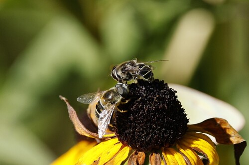
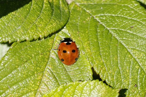
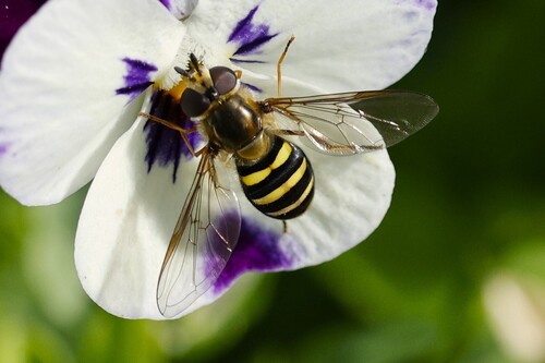
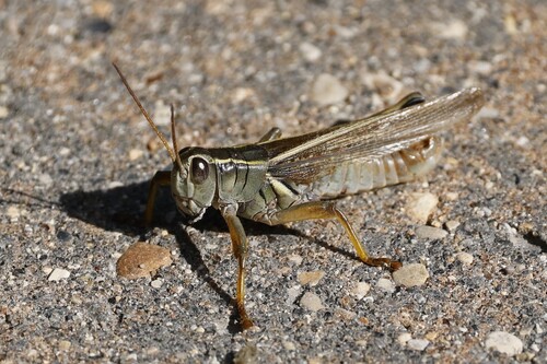
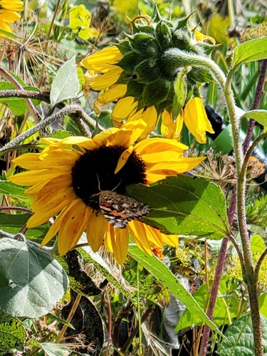
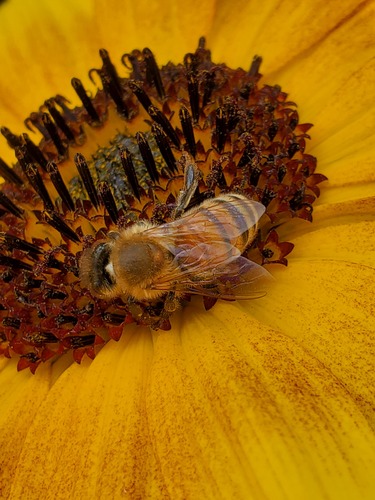
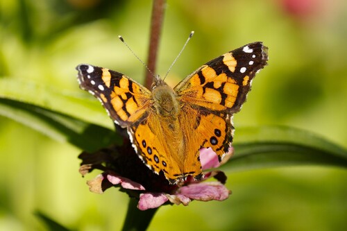
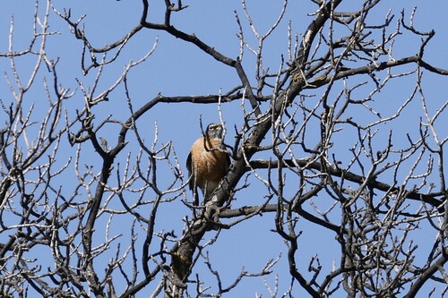
Research-grade observations from iNaturalist (within ~15 mi).
Events
Gallery
Official Identifiers
StatCan — Statistics Canada
- SGC code
- 4707039
- Population (Wikidata)
- 33,665
- Wikidata
- Q1019496
Standard Geographical Classification (SGC) via Wikidata P3012
Sources
- • Wikipedia
- • Wikidata
- • USGS Earthquake Catalog (global feed)
- • GBIF (Global Biodiversity Information Facility)
- • iNaturalist
- • Open-Meteo / sunrise-sunset.org
- • Wikipedia Pageviews API
- • Open Library
- • StatCan — Statistics Canada — Standard Geographical Classification (SGC) via Wikidata P3012