Browse / Canada / Prince Edward Island / Murray Harbour
Murray Harbour
Prince Edward Islandhamlet

Murray Harbour
Founded
1953
Demographic figures from Statistics Canada. Overview below cites Wikipedia and may reference a different year.
City facts
Facts from Wikidata (CC0).
Overview
Murray Harbour is a community that holds rural municipality status in Prince Edward Island, Canada. It is located in southeastern Kings County.
Read more on WikipediaHistory & geography
History
Samuel Holland named Murray Harbour after the Honourable James Murray, (1721–94). According to the first census of Prince Edward Island in 1798, ordered by Governor Fanning, there were only three families resident on Lot 64, Nicolas Hugh, a family of three, William Sencabaugh, a family of five, and a widow, Mrs. Foster with a family of five, United Empire Loyalists. By the beginning of the 18th century, Guernsey's residents were starting to settle in North America. Benjamin Chappell (1740 – 1825) described three notable migrations to Prince Edward Island - the United Empire Loyalists, the Selkirk Settlers, and the Guernsey settlers. He wrote on June 3, 1806, that eight families (the Brehauts, Robertsons, Taudvins, Machons, Marquands, DeJerseys, and Sullivans) who had arrived on a ship from Guernsey on May 16, 1806, had gone to Murray Harbour. The 1901 Census listed 366 heads of households: about 67% were farmers, while another 15% listed their occupation as fishermen. The rest of the people were scattered across many occupations. In the second volume of his 1913 History of the Catholic Church in Prince Edward Island, James MacMillan referred to a "Father Francis" who proselytized "Catholic people living all the way from Rollo Bay to Murray Harbor."
Excerpted from the corresponding Wikipedia article (CC BY-SA).
Geography
Coordinates & boundaries from the US Census TIGER/Line shapefiles.
Climate
Air quality
Walkability
Amenities nearby
Wildlife & biodiversity
Earthquake history
Photos
Sights & places nearby
Notable people from here
Geography & sun
Elevation, sunrise/sunset and daylight from Open-Meteo. Solar climatology from NASA POWER.
Nearby airports
Public attention
Pageview totals from the Wikimedia Pageviews API.
Books about this place
Recent natural events nearby
Ground air-quality sensors
Recently spotted species
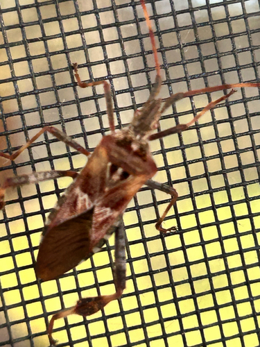
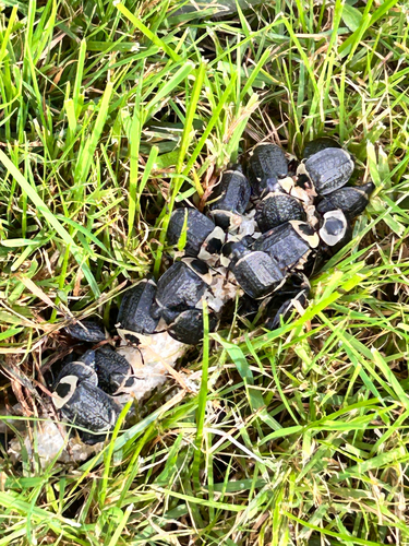
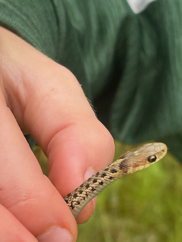
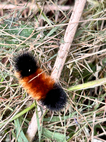
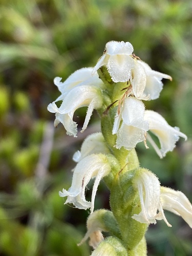
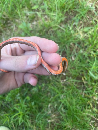
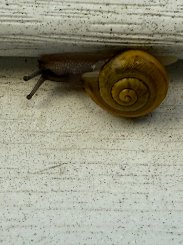
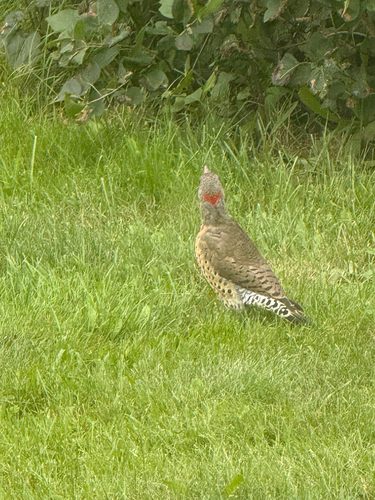
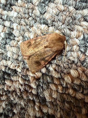
Research-grade observations from iNaturalist (within ~15 mi).
Events
Gallery
Sources
- • Wikipedia
- • Wikidata
- • iNaturalist
- • Open-Meteo / sunrise-sunset.org
- • Wikipedia Pageviews API