Browse / Canada / Ontario / Muskrat Dam
Muskrat Dam
Ontariovillage
Total population
281
Demographic figures from Statistics Canada. Overview below cites Wikipedia and may reference a different year.
City facts
Facts from Wikidata (CC0).
Overview
Muskrat Dam Lake First Nation is an Oji-Cree First Nation band government in Northern Ontario. They reside on the 1,939.7 hectares Muskrat Dam Lake reserve, located on Muskrat Dam Lake in the Kenora District. The community of Muskrat Dam, Ontario, is located on this reserve. In June 2008, their total registered population was 387 people, of which their on-reserve population was around 195.
Read more on WikipediaHistory & geography
History
The Muskrat Dam Lake First Nation is part of the 1929-30 Adhesion to the James Bay Treaty of 1905 - Treaty 9. The Muskrat Dam people have historical links to the people of Bearskin Lake, and several families have relocated from Bearskin Lake to Muskrat Dam Lake. The families that relocated to Muskrat Dam were that of Tommy and Victoria Beardy, who were joined by Jeremiah and Juliet Duncan, Moses and Eunice Fiddler, Jake and Esther Beardy and Roderick and Effie Fiddler. Later, Fiddlers' son Billy and Moses Fiddler's mother Nainee also joined the little settlement. Due to abundance of natural resources in the area, the small community started living off the land: fishing, hunting, trapping and logging. Weagamow Lake, Ontario helped them start a sawmill operation, as well as to fly in tools, gas and grocery supplies. Until it officially gained reserve status in 1976, Muskrat Dam was a satellite community of the Big Trout Lake.
Excerpted from the corresponding Wikipedia article (CC BY-SA).
Geography
Coordinates & boundaries from the US Census TIGER/Line shapefiles.
Climate
Air quality
Walkability
Amenities nearby
Wildlife & biodiversity
Earthquake history
Photos
Sights & places nearby
Notable people from here
Geography & sun
Elevation, sunrise/sunset and daylight from Open-Meteo. Solar climatology from NASA POWER.
Nearby airports
Public attention
Pageview totals from the Wikimedia Pageviews API.
Books about Muskrat Dam
Search results from Open Library.
Recent natural events nearby
Ground air-quality sensors
Recently spotted species
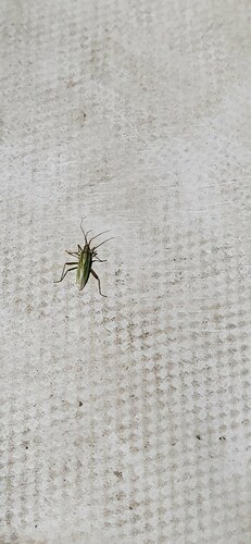
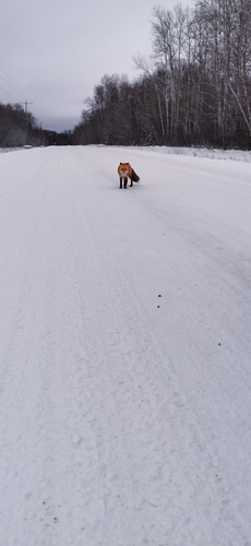
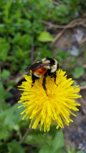
Research-grade observations from iNaturalist (within ~15 mi).
Events
Gallery
Sources
- • Wikipedia
- • Wikidata
- • iNaturalist
- • Open-Meteo / sunrise-sunset.org
- • Wikipedia Pageviews API
- • Open Library