Browse / Canada / New Brunswick / Nackawic
Nackawic
New Brunswicktown

Nackawic
Total population
962
Founded
1784
Demographic figures from Statistics Canada. Overview below cites Wikipedia and may reference a different year.
City facts
Facts from Wikidata (CC0).
Overview
Nackawic is a former town in New Brunswick, Canada. It held town status prior to 2023 and is now part of the rural community of Nackawic-Millville. It is approximately 65 km west of the city of Fredericton on the east bank of the Saint John River.
Read more on WikipediaHistory & geography
History
The area was first settled in 1784 by the United Empire Loyalists, primarily through land grants to the families of soldiers who had fought with His Majesty's Regiment of Queen's Rangers during the American Revolutionary War. Previously known as Otis, the development of town began in the late 1960s and was built so those forced to relocate as a result of the Mactaquac Dam being constructed would have a place to reside. Construction of the pulp mill, built to employ these displaced persons who lost their traditional farming opportunities that came with the dam, occurred between 1967 and 1970. Nackawic was officially incorporated as a town in 1976. On 1 January 2023, Nackawic amalgamated with the village of Millville and parts of four local service districts to form the new incorporated rural community of Nackawic-Millville. The community's name remains in official use. The town's largest employer, from 1970 until September 14, 2004, was St. Anne Nackawic Pulp Company Ltd., founded by Karl F. Landegger. The mill closed on September 14 and its owners declared bankruptcy the following day, putting 406 people out of work. About 350 contract workers in the middle of a maintenance shutdown were also affected. The mill itself was left in a state of disassembly. Construction of the mill began in 1967, following the building of the Mactaquac Dam. The plant manufactured high-quality, photographic grade kraft pulp. Increasing energy, material and labor costs here at home; new competition from overseas mills able to operate much less expensively as well as the continuing devaluation of the US dollar, combined with the rapid increase in value of the Canadian dollar, all contributed significantly to the St. Anne Nackawic plant becoming less viable. At the same time, the…
Excerpted from the corresponding Wikipedia article (CC BY-SA).
Geography
Coordinates & boundaries from the US Census TIGER/Line shapefiles.
Climate
Air quality
Walkability
Amenities nearby
Wildlife & biodiversity
Earthquake history
Photos
Sights & places nearby
Notable people from here


People born within ~10 km, from Wikidata (CC0). Click any name for their Wikipedia article.
Nearby places in New Brunswick
Geography & sun
Elevation, sunrise/sunset and daylight from Open-Meteo. Solar climatology from NASA POWER.
Nearby airports
Public attention
Pageview totals from the Wikimedia Pageviews API.
Books about Nackawic
Search results from Open Library.
Recent natural events nearby
Ground air-quality sensors
Recently spotted species
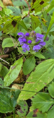
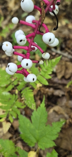
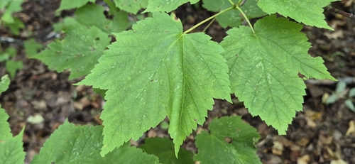
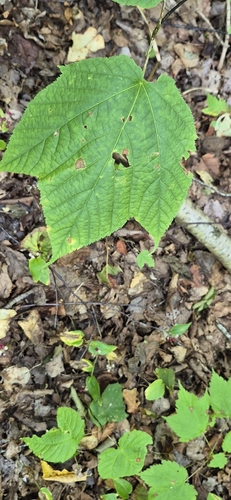
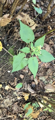
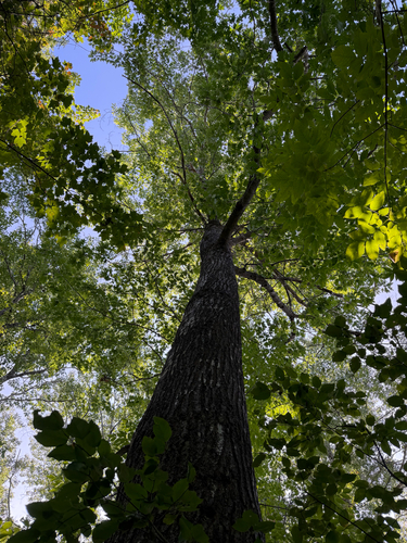
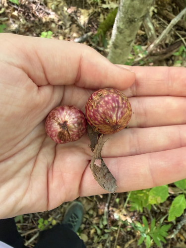
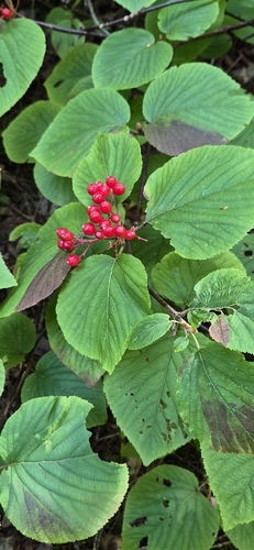
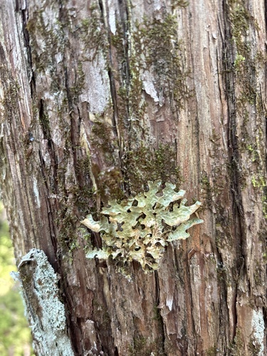
Research-grade observations from iNaturalist (within ~15 mi).
Events
Gallery
Geotagged photos within ~6 miles of Nackawic, from Wikimedia Commons contributors.


Photos via Wikimedia Commons — see each image page for license & attribution.
Official Identifiers
StatCan — Statistics Canada
- SGC code
- 1310054
- Population (Wikidata)
- 941
- Wikidata
- Q835359
Standard Geographical Classification (SGC) via Wikidata P3012
Sources
- • Wikipedia
- • Wikimedia Commons
- • Wikidata
- • iNaturalist
- • Open-Meteo / sunrise-sunset.org
- • Wikipedia Pageviews API
- • Open Library
- • StatCan — Statistics Canada — Standard Geographical Classification (SGC) via Wikidata P3012