Browse / Canada / British Columbia / New Denver
New Denver
British Columbiavillage

New Denver
Founded
1892
Demographic figures from Statistics Canada. Overview below cites Wikipedia and may reference a different year.
City facts
Facts from Wikidata (CC0).
Overview
New Denver is a village in the Central Kootenay region of British Columbia, Canada at the mouth of Carpenter Creek, on the east shore of Slocan Lake, in the West Kootenay region of southeastern British Columbia. The village is 47 kilometres (29 mi) west of Kaslo on Highway 31A, and 47 kilometres (29 mi) southeast of Nakusp and 32 kilometres (20 mi) northeast of Slocan on Highway 6.
Read more on WikipediaHistory & geography
History
New Denver was an early service center for mines and the nearby mining towns. It could be reached by boat, and a stagecoach ran every two days to Nakusp, and every four days to Nelson. In 1895, Denver Canyon became a stop on the former Nakusp and Slocan Railway. The settlement was incorporated as a village in 1929. After the decline in mining, forestry became the economic base, and tourism in more recent times. One of nine West Kootenay internment centres for Japanese Canadians during World War II (following removal from the BC Coast), by 1942 the camp held 1,505 Japanese Canadians, who built 275 shacks in a fruit grove known as the "Orchard." Other internment centres in the Slocan region were nearby at Slocan City, Lemon Creek, Rosebery, Kaslo and Sandon. New Denver's Nikkei Internment Memorial Centre is dedicated to the history of the 27,000 interned Japanese Canadians, and is a National Historic Site. For decades Freedomites refused to send their Doukhobor children to school. After multiple warnings, the government forcibly removed such children from their families. Operating 1953–1959, about 170 children, aged 7–15, passed through the New Denver facility but attended the public school. Although parents were allowed twice-monthly visits, most chose instead to speak to their children through the wire fence. In May 2020, New Denver resident David Harley, owner of Valhalla Pure Outfitters, proposed building a 55-acre "world-class, all-season, backcountry-oriented" resort called Zincton between New Denver and Kaslo. Those promoting Zincton claim the resort will create jobs and do much to remedy economic and social decline in the area. The proposed site is in a critical wildlife corridor connecting Goat Range and Kokanee Provincial Parks and is also prime grizzly…
Excerpted from the corresponding Wikipedia article (CC BY-SA).
Geography
Coordinates & boundaries from the US Census TIGER/Line shapefiles.
Climate
Air quality
Walkability
Amenities nearby
Wildlife & biodiversity
Earthquake history
Photos
Sights & places nearby
Notable people from here
People born within ~10 km, from Wikidata (CC0). Click any name for their Wikipedia article.
Nearby places in British Columbia
Geography & sun
Elevation, sunrise/sunset and daylight from Open-Meteo. Solar climatology from NASA POWER.
Nearby airports
Public attention
Pageview totals from the Wikimedia Pageviews API.
Books about New Denver

Search results from Open Library.
Recent natural events nearby
- Wildfire Parker Lake, Boundary, IdahoWildfires · 2026-08-23 · 84 mi
- Wildfire Silver, Boundary, IdahoWildfires · 2026-08-23 · 99 mi
- Wildfire BRADEEN HILL, Stevens, WashingtonWildfires · 2026-07-25 · 121 mi
- Wildfire HUDSPETH, Stevens, WashingtonWildfires · 2026-08-01 · 136 mi
- Wildfire SINLAHEKIN, Okanogan, WashingtonWildfires · 2026-07-26 · 137 mi
- Wildfire MITRE ROCK, Stevens, WashingtonWildfires · 2026-08-01 · 150 mi
- Wildfire AUTUMN LANE, Spokane, WashingtonWildfires · 2026-08-01 · 152 mi
- Wildfire Skillet, Lincoln, MontanaWildfires · 2026-07-29 · 153 mi
Wildfires, storms and other events from NASA EONET (last 12 months, within 250 mi).
Ground air-quality sensors
Recently spotted species
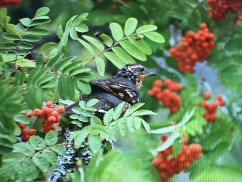
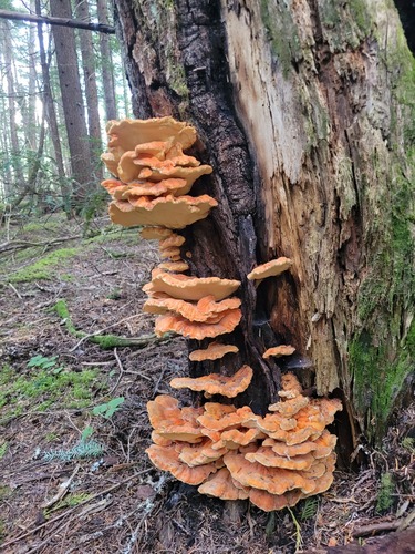
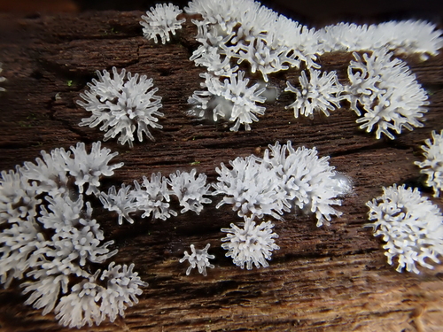
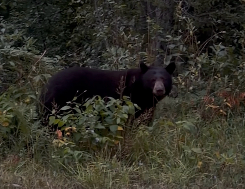
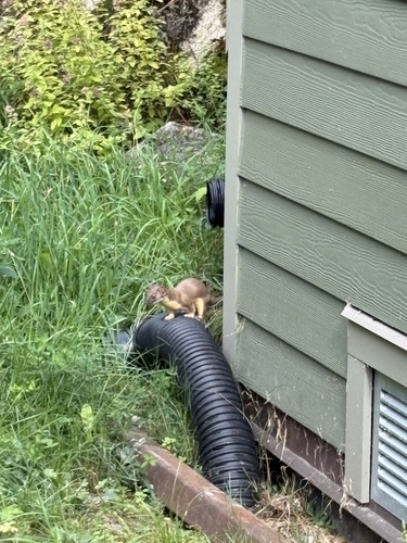
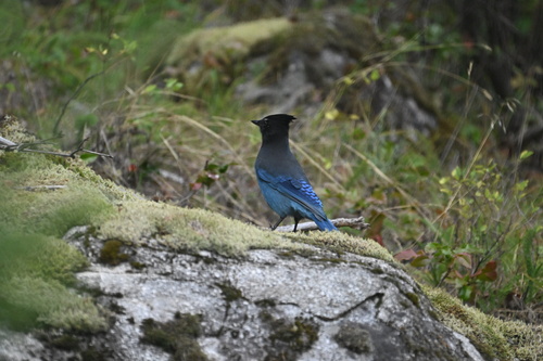
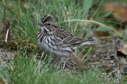
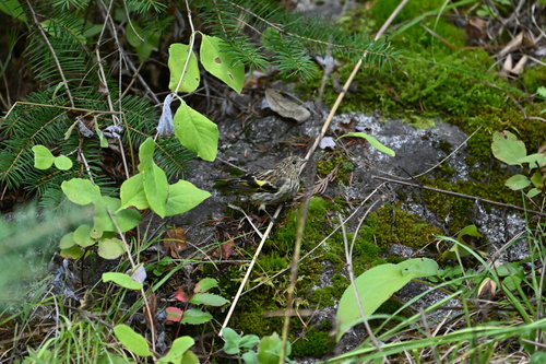
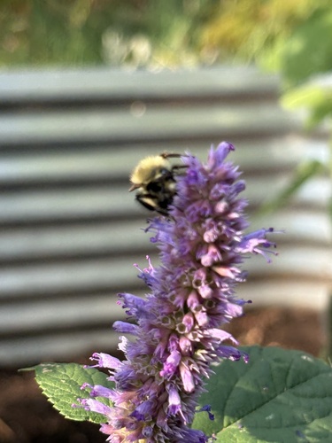
Research-grade observations from iNaturalist (within ~15 mi).
Events
Gallery
Official Identifiers
StatCan — Statistics Canada
- SGC code
- 5903032
- Wikidata
- Q2957439
Standard Geographical Classification (SGC) via Wikidata P3012
Sources
- • Wikipedia
- • Wikidata
- • iNaturalist
- • Open-Meteo / sunrise-sunset.org
- • Wikipedia Pageviews API
- • Open Library
- • NASA EONET
- • StatCan — Statistics Canada — Standard Geographical Classification (SGC) via Wikidata P3012