Browse / Canada / Ontario / Niagara Falls
Niagara Falls
Ontariocity

Niagara Falls
Total population
82,184
Founded
1903
Demographic figures from Statistics Canada. Overview below cites Wikipedia and may reference a different year.
City facts
Facts from Wikidata (CC0).
Overview
Niagara Falls is a city in Ontario, Canada, adjacent to, and named after, Niagara Falls. As of the 2021 census, the city had a population of 94,415. The city is located on the Niagara Peninsula along the western bank of the Niagara River, which forms part of the Canada–United States border, with the other side being the twin city of Niagara Falls, New York. Niagara Falls is within the Regional Municipality of Niagara and a part of the St. Catharines - Niagara Census Metropolitan Area (CMA).
Read more on WikipediaHistory & geography
History
Prior to European arrival, present day Niagara Falls was populated by Iroquoian-speaking Neutral people but, after attacks from the Haudenosaunee and Seneca, the Neutral people population was severely reduced. The Haudenosaunee people remained in the area until Europeans made first contact in the late 17th century. The Niagara Falls area had some European settlement in the 17th century. Louis Hennepin, a French priest and missionary, is considered to be the first European to visit the area in the 1670s. French colonists settled mostly in Lower Canada, beginning near the Atlantic, and in Quebec and Montreal. After surveys were completed in 1782 the area was referred to as Township Number 2 as well as Mount Dorchester after Guy Carleton, 1st Baron Dorchester (and today is only honoured by Dorchester Road and the community of Dorchester Village). The earliest settlers of Township Number 2 were Philip George Bender (namesake of Bender Street and Bender Hill near Casino Niagara originally from Germany and later New Jersey and Philadelphia In 1791, John Graves Simcoe renamed the town as Stamford after Stamford, Lincolnshire in England In 1856, the Town of Clifton was incorporated by Ogden Creighton after Clifton, Bristol. The name of the town was changed to Niagara Falls in 1881. In 1882, the community of Drummondville (near the present-day corner of Lundy's Lane and Main Street) was incorporated as the Village of Niagara Falls. In 1904, the town and village amalgamated to form the City of Niagara Falls, by virtue of an Act passed the previous year. In 1963, the city amalgamated with the surrounding Stamford Township. In 1970, the Niagara regional government was formed. This resulted in the village of Chippawa, Willoughby Township, and part of Crowland Township being…
Geography
Niagara Falls is approximately by road from Ontario's capital of Toronto, which is across Lake Ontario to the north. The area of the Niagara Region is approximately . The city is built along the Niagara Falls waterfalls and the Niagara Gorge on the Niagara River, which flows from Lake Erie to Lake Ontario. The city of Niagara Falls has a humid continental climate (Köppen Dfa) which is moderated to an extent in all seasons by proximity to bodies of water. Winters are cold, with a January high of and a low of . |metric first = yes |single line = yes |Jan record high C = 22.2 |Feb record high C = 21.5 |Mar record high C = 26.5 |Apr record high C = 33.0 |May record high C = 35.0 |Jun record high C = 34.5 |Jul record high C = 37.0 |Aug record high C = 38.3 |Sep record high C = 35.6 |Oct record high C = 32.8 |Nov record high C = 24.4 |Dec record high C = 21.5 |year record high C = 38.3 |Jan high C = 0.2 |Feb high C = 0.4 |Mar high C = 5.5 |Apr high C = 12.5 |May high C = 20.4 |Jun high C = 25.5 |Jul high C = 27.5 |Aug high C = 26.0 |Sep high C = 22.8 |Oct high C = 15.5 |Nov high C = 8.6 |Dec high C = 2.7 |year high C = 14.0 |Jan mean C = −3.4 |Feb mean C = −3.3 |Mar mean C = 1.4 |Apr mean C = 7.4 |May mean C = 14.8 |Jun mean C = 20.4 |Jul mean C = 22.5 |Aug mean C = 21.2 |Sep mean C = 17.6 |Oct mean C = 11.1 |Nov mean C = 4.8 |Dec mean C = −0.5 |year mean C = 9.5 |Jan low C = −7.0 |Feb low C = −7.0 |Mar low C = −2.8 |Apr low C = 2.3 |May low C = 9.1 |Jun low C = 15.2 |Jul low C = 17.5 |Aug low C = 16.4 |Sep low C = 12.4 |Oct low C = 6.7 |Nov low C = 0.9 |Dec low C = −3.8 |year low C = 5.0 |Jan record low C = −26.0 |Feb record low C = −25.0 |Mar record low C = −22.0 |Apr record low C = −13.5 |May record low C = −4.4 |Jun record low C = 2.2 |Jul record low C = 5.6 |Aug…
Excerpted from the corresponding Wikipedia article (CC BY-SA).
Geography
Coordinates & boundaries from the US Census TIGER/Line shapefiles.
Climate
Air quality
Walkability
Amenities nearby
Wildlife & biodiversity
Earthquake history
Photos
Sights & places nearby
Notable people from here
Geography & sun
Elevation, sunrise/sunset and daylight from Open-Meteo. Solar climatology from NASA POWER.
Nearby airports
Public attention
Pageview totals from the Wikimedia Pageviews API.
Books about Niagara Falls

Search results from Open Library.
Recent natural events nearby
Ground air-quality sensors
Recently spotted species
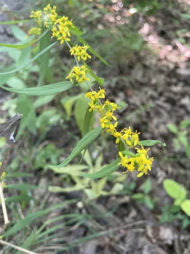
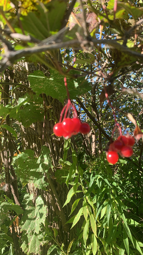
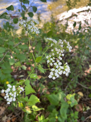
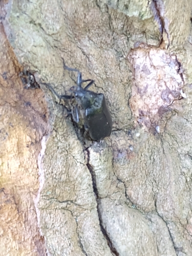
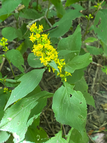
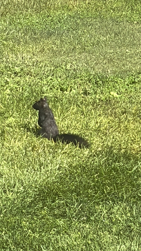
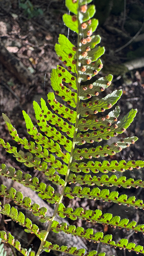
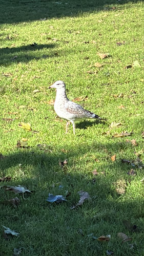
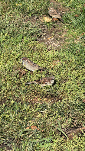
Research-grade observations from iNaturalist (within ~15 mi).
Events
Gallery
Official Identifiers
StatCan — Statistics Canada
- SGC code
- 3526043
- Population (Wikidata)
- 88,071
- Wikidata
- Q274120
Standard Geographical Classification (SGC) via Wikidata P3012
Sources
- • Wikipedia
- • Wikidata
- • iNaturalist
- • Open-Meteo / sunrise-sunset.org
- • Wikipedia Pageviews API
- • Open Library
- • StatCan — Statistics Canada — Standard Geographical Classification (SGC) via Wikidata P3012