Browse / Canada / New Brunswick / Northampton
Northampton
New Brunswickhamlet
Founded
1189
Demographic figures from Statistics Canada. Overview below cites Wikipedia and may reference a different year.
City facts
Facts from Wikidata (CC0).
Overview
Northampton sits in New Brunswick, Canada and is identified as a hamlet. The settlement sits at 46.072°, -67.550°, a temperate location in the northern hemisphere. No reliable population estimate is published for this entry in the open data we rely on. Open solar datasets indicate about 1,266 kWh/m² of solar irradiance per year, combined with sunshine for roughly 50% of daylight hours. Based on its temperate position, residents likely encounter four distinct seasons with warm summers and cold winters. Read on for charts and tables covering demographics, climate, hazards, schools, wildlife and other open-data indicators for Northampton.
Summary composed automatically from structured open data on this page. See our Terms for details.
History & geography
History
The earliest reference to Northampton in writing occurred in 914 under the name Ham tune. The Domesday Book (1086) records the town as Northantone, which evolved into Norhamptone by the 13th century and later Northampton by the 17th century. Present-day Northampton is the latest in a series of settlements that began in the Bronze Age. Remains found in the Briar Hill district show evidence of a Neolithic encampment within a large circular earthwork where local farmers assembled for tribal ceremonies and seasonal events from approximately 3500 BC to 2000 BC. During the British Iron Age, people typically lived in protected hill forts. Present-day Hunsbury Hill is an example of this settlement; a circular ditch and a bank faced with a wall of timber and enclosing an area of which dates to around 400 BC. In the Roman period, a small rural settlement is thought to have existed in the present-day district of Duston; remains of Roman pottery were found there. Following a Danish invasion, the central area of the town was turned into a stronghold called a burh probably by the Anglo-Saxons. By the time of the Peace of Wedmore in 878 the Burgh was in possession of the Danes and became the base for one of the Danish armies. A ditch was dug around the settlement and it was fortified with earth ramparts. Having conquered Mercia, the Danes turned the settlement into a centre for military and administrative purposes, which was part of the Danelaw. The Danish army of Northampton however submitted to Edward the Elder, Saxon King of Wessex (who controlled the southern and western part of the English Kingdom of Mercia) in 921 an East Anglian Saint with localised veneration, was buried in Northampton. By 918, Northampton had an earl and an army dependent upon it, whose…
Geography
Northampton is formally in the East Midlands region but is also referred to in Government planning as being part of the South Midlands "growth area". The town is south-south-east of Leicester, north-north-west of Milton Keynes, west of Cambridge, north-east of Oxford and south-west of Peterborough. Northampton is subdivided into suburbs, council wards, constituencies, ecclesiastical parishes and other less formal areas. Suburbs and districts of Northampton include: Concurrent with the abolition of the borough of Northampton in 2021, the unparished area of Northampton became parished with three new parish councils being established. A new Town Council covering the majority of the urban area of Northampton was established, whilst the areas of Kingsthorpe, Far Cotton and Delapré also gained parish councils. In addition, there are nine registered parish councils which predate the abolition of the borough of Northampton. These are Billing, Collingtree, Duston, Great Houghton, Hardingstone, Hunsbury Meadow, Upton, West Hunsbury and Wootton & East Hunsbury. Other settlements that the Office for National Statistics considers part of the Northampton urban area include Boughton, Ecton, Moulton, Overstone and Rothersthorpe. At the 2011 census, Harpole, Cogenhoe, Grange Park, Little and Great Houghton, Overstone and Sywell were just outside the Northampton built up area; on 3 August 1990. A high of was recorded on 19 July 2006, However, a maximum temperature of was recorded on 19 July 2022 at Pitsford, located from the town centre. The absolute minimum is , on 20 December 2010. Rainfall, at around per year is not high, though is often unpredictable, giving rise to flooding events such as in 1998, but also short-term droughts. Desborough Weather Station also supplies…
Excerpted from the corresponding Wikipedia article (CC BY-SA).
Geography
Coordinates & boundaries from the US Census TIGER/Line shapefiles.
Climate
Air quality
Walkability
Amenities nearby
Wildlife & biodiversity
Earthquake history
Photos
Sights & places nearby
Notable people from here


People born within ~10 km, from Wikidata (CC0). Click any name for their Wikipedia article.
Nearby places in New Brunswick
Geography & sun
Elevation, sunrise/sunset and daylight from Open-Meteo. Solar climatology from NASA POWER.
Nearby airports
Public attention
Pageview totals from the Wikimedia Pageviews API.
Books about Northampton


Search results from Open Library.
Recent natural events nearby
Ground air-quality sensors
Recently spotted species

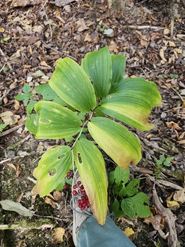
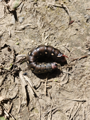
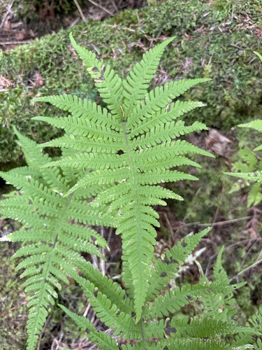
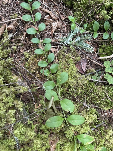
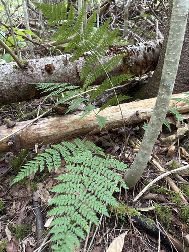
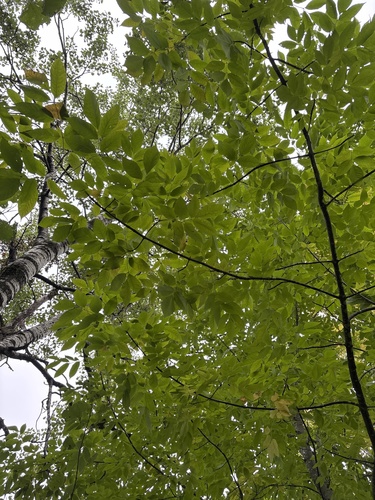
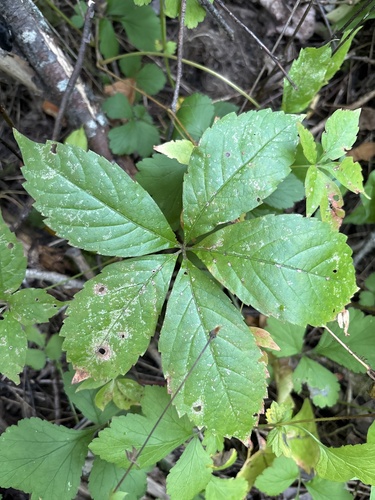
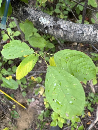
Research-grade observations from iNaturalist (within ~15 mi).
Events
Notable, recurring, and historical events associated with Northampton, sourced from Wikidata.
Source: Wikidata (CC0).
Gallery
Sources
- • Wikipedia
- • Wikidata
- • iNaturalist
- • Open-Elevation
- • Open-Meteo / sunrise-sunset.org
- • Wikipedia Pageviews API
- • Open Library