Browse / United States / California / Oakland
Oakland
Californiacity

Oakland
Total population
443,575
Median home value
$884,000
Bachelor's+
Median income
$102,235
Founded
1852
Air quality index
Demographic figures from US Census Bureau · ACS 5-year estimates. Overview below cites Wikipedia and may reference a different year.
- Heat Advisory · ModerateHeat Advisory issued October 5 at 9:29AM PDT until October 8 at 10:00PM PDT by NWS San Francisco CA
Source: NOAA National Weather Service.
City facts
Sister cities
Facts from Wikidata (CC0).
Overview
Oakland is a city in the East Bay region of the San Francisco Bay Area in the U.S. state of California. It is the county seat of and the most populous city in Alameda County, California, with a population of 440,646 in 2020. A major West Coast port, Oakland is the most populous city in the East Bay, the third most populous city in the Bay Area, and the eighth most populous city in California. It serves as the Bay Area's trade center: the Port of Oakland is the busiest port in Northern California, and the fifth- or sixth-busiest in the United States. A charter city, Oakland was incorporated on May 4, 1852, in the wake of the state's increasing population due to the California gold rush.
Read more on WikipediaHistory & geography
History
The earliest known inhabitants of the area were the Huchiun natives, who lived there for thousands of years. The Huchiun belonged to a linguistic grouping later called the Ohlone (a Miwok word meaning "western people"). In Oakland, they were concentrated around Lake Merritt and Temescal Creek, a stream that enters the San Francisco Bay at Emeryville. In 1772, the area that later became Oakland was colonized, along with the rest of California, by Spanish settlers for the king of Spain. In the early 19th century, the Spanish crown granted the East Bay area to Luis María Peralta for his Rancho San Antonio. The grant was confirmed by the successor Mexican republic upon its independence from Spain. Upon his death in 1842, Peralta divided his land among his four sons. Most of Oakland was within the shares given to Antonio Maria and Vicente. The portion of the parcel that is now Oakland was called Encinar (misrendered at an early date and carried forward as "encinal") – Spanish for "oak grove" – due to the large oak forest that covered the area, which eventually led to the city's name. According to Stanford University historian Albert Camarillo, the Peralta family struggled to keep their land after the incorporation of California into the United States after the Mexican–American War. Camarillo claims the family was the victim of targeted racial violence. He writes in Chicanos in California, "They lost everything when squatters cut down their fruit trees, killed their cattle, destroyed their buildings, and even fenced off the roads leading to the rancho. Especially insidious were the actions of attorney Horace Carpentier, who tricked Vicente Peralta into signing a 'lease' which turned out to be a mortgage against the 19,000-acre rancho. The lands became…
Geography
Oakland is in the eastern region of the San Francisco Bay. The United States Census Bureau says the city's total area is , including of land and (28.48 percent) of water. Oakland's highest point is near Grizzly Peak Blvd, east of Berkeley, just over above sea level at about . Oakland has of shoreline, but Radio Beach is the only beach in Oakland. Oaklanders refer to their city's terrain as "the flatlands" and "the hills". Until recent waves of gentrification, these terms also symbolized Oakland's deep economic divide, with "the hills" being more affluent communities. About two-thirds of Oakland lies in the flat plain of the East Bay, with one-third rising into the foothills and hills of the East Bay range. Ruptures along the nearby San Andreas Fault caused severe earth movement in the San Francisco Bay Area in 1906 and 1989. San Andreas quakes induces creep (movement occurring on earthquake faults) in the Hayward fault, which runs directly through Oakland, Berkeley, San Jose and other Bay Area cities. Oakland has more than 50 distinct neighborhoods. The city's greater divisions include downtown Oakland and its greater Central Business District, Lake Merritt, East Oakland, North Oakland, West Oakland, and the Oakland Hills. East Oakland, which includes the East Oakland Hills, encompasses more than half of Oakland's land area, stretching from Lakeshore Avenue on the east shore of Lake Merritt southeast to the San Leandro border. North Oakland encompasses the neighborhoods between downtown and Berkeley and Emeryville. West Oakland is the area between downtown and the Bay, partially surrounded by the Oakland Point, and encompassing the Port of Oakland. In 2011, Oakland was ranked the tenth most walkable city in the United States by Walk Score. Lake Merritt, an…
Excerpted from the corresponding Wikipedia article (CC BY-SA).
Demographics & economy
Race & ethnicity
Source: US Census Bureau — American Community Survey, 5-year estimates.
Geography
Coordinates & boundaries from the US Census TIGER/Line shapefiles.
Climate
Current forecast
Forecast for Oakland, CA from NOAA NWS API.
Air quality
Current readings from Open-Meteo Air Quality API (Copernicus CAMS European reanalysis).
Industrial & pollution facilities
Natural hazard risk
Health (adults)
Age-adjusted prevalence estimates from CDC PLACES (latest release).
Walkability
Amenities nearby
Wildlife & biodiversity
Most-observed species
- American CrowCorvus brachyrhynchos C.L.Brehm, 1822 · Aves98,697
- Anna's HummingbirdCalypte anna (R.Lesson, 1829) · Aves95,588
- House FinchHaemorhous mexicanus (P.L.Statius Müller, 1776) · Aves87,018
- California TowheeMelozone crissalis (Vigors, 1839) · Aves77,398
- Black PhoebeSayornis nigricans (Swainson, 1827) · Aves65,553
- White-crowned SparrowZonotrichia leucophrys (J.R.Forster, 1772) · Aves63,306
- Chestnut-backed ChickadeePoecile rufescens (J.K.Townsend, 1837) · Aves63,139
- Dark-eyed JuncoJunco hyemalis (Linnaeus, 1758) · Aves58,586
Citizen-science & research observations from the Global Biodiversity Information Facility (GBIF).
Schools
Largest nearby schools
- Berkeley HighHigh · Berkeley · 3,204 students · 17.9:1 ratio
- Castro Valley HighHigh · Castro Valley · 2,799 students · 23.5:1 ratio
- San Leandro HighHigh · San Leandro · 2,566 students · 22.1:1 ratio
- Alameda HighHigh · Alameda · 1,802 students · 24:1 ratio
- Oakland Technical HighHigh · Oakland · 1,796 students · 18.1:1 ratio
- Arroyo HighHigh · San Lorenzo · 1,610 students · 26.4:1 ratio
- Skyline HighHigh · Oakland · 1,590 students · 17.3:1 ratio
- Oakland HighHigh · Oakland · 1,531 students · 17.6:1 ratio
Public K–12 schools within ~10 mi from Urban Institute Education Data Portal (NCES Common Core of Data, 2022).
Earthquake history
Most recent
- M 2.58 — 2026-09-296 km W of Yountville, CA
- M 2.63 — 2026-09-2726 km WSW of Westley, CA
- M 3.32 — 2026-09-2727 km WSW of Westley, CA
- M 2.51 — 2026-09-1910 km ENE of Milpitas, CA
- M 2.56 — 2026-09-1721 km E of Alum Rock, CA
- M 2.6 — 2026-09-163 km ESE of Santa Rosa, CA
Events from the USGS Earthquake Catalog (global) (FDSN Event Web Service).
Photos
Sights & places nearby
Notable people from here


People born within ~10 km, from Wikidata (CC0). Click any name for their Wikipedia article.
Nearby places in California
- Piedmont3.6 mi away
- Moraga7.7 mi away
- Orinda8.3 mi away
- Fairview11.8 mi away · pop. 10,745
- East Richmond Heights13 mi away
- Norris Canyon13.1 mi away
- Reliez Valley13.5 mi away
- Contra Costa Centre14.3 mi away · pop. 6,893
- Alhambra Valley14.5 mi away · pop. 979
- El Sobrante14.7 mi away
- Rollingwood14.7 mi away · pop. 3,627
- Millbrae15.2 mi away · pop. 22,689
Geography & sun
Elevation, sunrise/sunset and daylight from Open-Meteo. Solar climatology from NASA POWER.
Nearby airports
Public attention
Pageview totals from the Wikimedia Pageviews API.
Books about Oakland



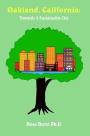
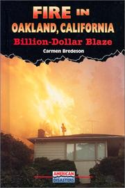
Search results from Open Library.
Recent natural events nearby
- Wildfire GANN, Calaveras, CaliforniaWildfires · 2026-08-03 · 83 mi
- Wildfire FELIZ, Mendocino, CaliforniaWildfires · 2026-08-01 · 99 mi
- Wildfire LUCAS, Lake, CaliforniaWildfires · 2026-09-10 · 109 mi
- Wildfire LUCAS, Lake, CaliforniaWildfires · 2026-09-10 · 109 mi
- Wildfire Timber, Monterey, CaliforniaWildfires · 2026-08-09 · 111 mi
- Wildfire Plaskett, Monterey, CaliforniaWildfires · 2026-08-26 · 136 mi
- Wildfire DOME, Mariposa, CaliforniaWildfires · 2026-09-15 · 143 mi
- Wildfire FLORISTON, Nevada, CaliforniaWildfires · 2026-09-16 · 163 mi
Wildfires, storms and other events from NASA EONET (last 12 months, within 250 mi).
Ground air-quality sensors
Recently spotted species
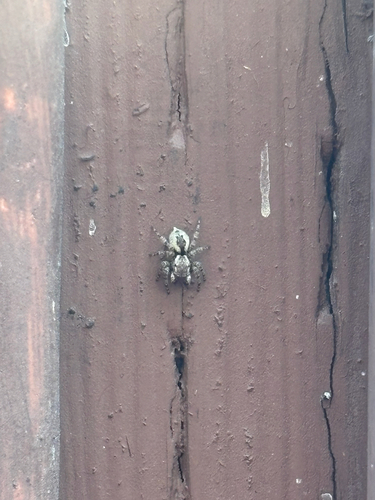
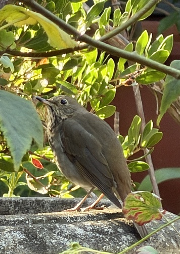
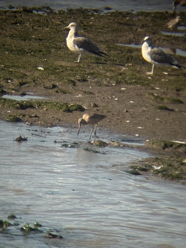
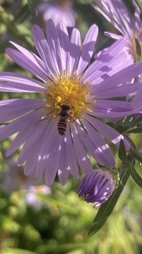
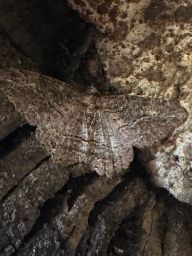
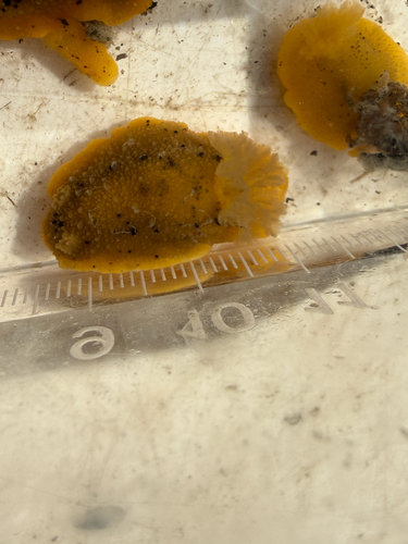
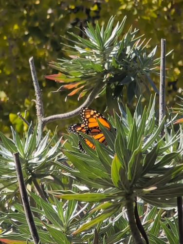
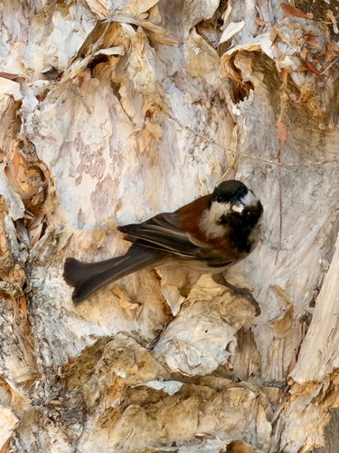
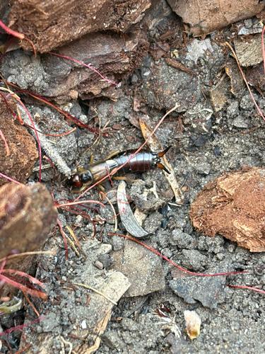
Research-grade observations from iNaturalist (within ~15 mi).
Nearest stream gauge
Events
Notable, recurring, and historical events associated with Oakland, sourced from Wikidata.
- Jul 2, 1987
- Jul 3, 1975
- Jun 30, 1956
Source: Wikidata (CC0).
Gallery
Geotagged photos within ~6 miles of Oakland, from Wikimedia Commons contributors.
 0.2 mi
.jpg) 0.3 mi
0.3 mi.jpg) 0.3 mi
0.3 mi 0.3 mi
.jpg) 0.3 mi
0.3 mi 0.3 mi
 0.3 mi
 0.3 mi
 0.3 mi
 0.3 mi
 0.3 mi
.jpg) 0.4 mi
0.4 mi.jpg) 0.4 mi
0.4 mi.jpg) 0.4 mi
0.4 mi.jpg) 0.4 mi
0.4 mi.jpg) 0.4 mi
0.4 mi 0.4 mi
 0.4 mi
 0.4 mi
 0.4 mi
 0.4 mi
 0.4 mi
 0.4 mi
,_March_2018.JPG) 0.4 mi
0.4 miPhotos via Wikimedia Commons — see each image page for license & attribution.
Sources
- • Wikipedia
- • US Census Bureau (ACS 5-year estimates)
- • NOAA National Weather Service
- • Wikimedia Commons
- • Wikidata
- • Open-Meteo Air Quality (CAMS)
- • USGS Earthquake Catalog (global feed)
- • NCES via Urban Institute Education Data Portal
- • GBIF (Global Biodiversity Information Facility)
- • iNaturalist
- • CDC PLACES
- • Open-Meteo / sunrise-sunset.org
- • Wikipedia Pageviews API
- • Open Library
- • NASA EONET