Browse / Canada / Quebec / Odanak
Odanak
Quebecvillage

Odanak
Total population
450
Demographic figures from Statistics Canada. Overview below cites Wikipedia and may reference a different year.
City facts
Facts from Wikidata (CC0).
Overview
Odanak is an Abenaki First Nations reserve in the Central Quebec region, Quebec, Canada. The mostly First Nations population as of the 2021 Canadian census was 481. The territory is located near the mouth of the Saint-François River at its confluence with the St. Lawrence River. It is partly within the limits of Pierreville and across the river from Saint-François-du-Lac. Odanak is an Abenaki word meaning "in the village".
Read more on WikipediaHistory & geography
Geography
Coordinates & boundaries from the US Census TIGER/Line shapefiles.
Climate
Air quality
Walkability
Amenities nearby
Wildlife & biodiversity
Most-observed species
- Red-winged BlackbirdAgelaius phoeniceus (Linnaeus, 1766) · Aves12,913
- Song SparrowMelospiza melodia (A.Wilson, 1810) · Aves12,840
- MallardAnas platyrhynchos Linnaeus, 1758 · Aves11,087
- Canada Goose (canadensis Group)Branta canadensis (Linnaeus, 1758) · Aves10,444
- Common GrackleQuiscalus quiscula (Linnaeus, 1758) · Aves10,263
- American CrowCorvus brachyrhynchos C.L.Brehm, 1822 · Aves10,169
- American RobinTurdus migratorius Linnaeus, 1766 · Aves9,937
- Mourning DoveZenaida macroura (Linnaeus, 1758) · Aves9,847
Citizen-science & research observations from the Global Biodiversity Information Facility (GBIF).
Earthquake history
Most recent
- M 2.6 — 2024-10-027 km ENE of Chertsey, Canada
- M 3.8 — 2024-09-015 km SE of Pierreville, Canada
- M 2.7 — 2023-09-241 km N of Charlemagne, Canada
- M 3 — 2022-11-15southern Quebec, Canada
- M 2.7 — 2022-02-158 km WNW of L'Épiphanie, Canada
- M 2.7 — 2021-08-0912 km E of Bécancour, Canada
Events from the USGS Earthquake Catalog (global) (FDSN Event Web Service).
Photos
Sights & places nearby
Notable people from here


People born within ~10 km, from Wikidata (CC0). Click any name for their Wikipedia article.
Nearby places in Quebec
- Notre-Dame-de-Pierreville3.8 mi away
- Saint-David-d'Yamaska8.4 mi away
- Sainte-Anne-de-Sorel12 mi away
- Massueville12.4 mi away
- Maskinongé14.4 mi away
- Saint-Joachim-de-Courval14.4 mi away
- La Visitation de-l'île-Dupas15.8 mi away
- Port-Saint-François16.6 mi away
- Sainte-Perpétue16.8 mi away
- Saint-Justin17.9 mi away
- Sainte-Ursule18 mi away
- Saint-Grégoire20 mi away
Geography & sun
Elevation, sunrise/sunset and daylight from Open-Meteo. Solar climatology from NASA POWER.
Nearby airports
Public attention
Pageview totals from the Wikimedia Pageviews API.
Books about Odanak
Search results from Open Library.
Recent natural events nearby
Ground air-quality sensors
Recently spotted species
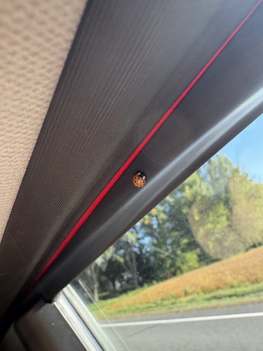
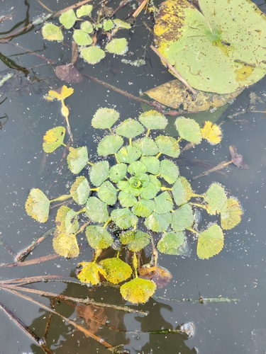
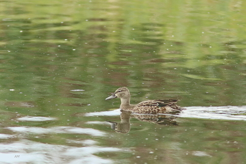
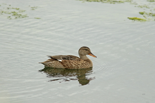
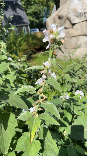
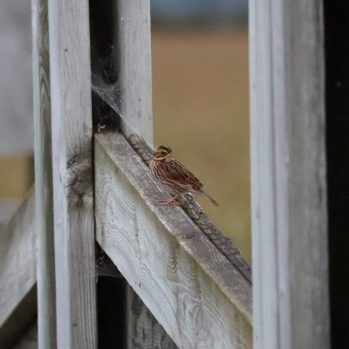
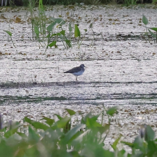
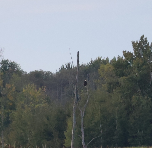
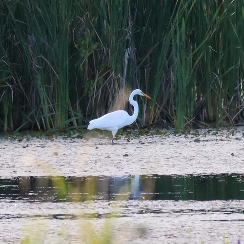
Research-grade observations from iNaturalist (within ~15 mi).
Events
Gallery
Official Identifiers
StatCan — Statistics Canada
- SGC code
- 2450802
- Population (Wikidata)
- 481
- Wikidata
- Q1607741
Standard Geographical Classification (SGC) via Wikidata P3012
Sources
- • Wikipedia
- • Wikidata
- • USGS Earthquake Catalog (global feed)
- • GBIF (Global Biodiversity Information Facility)
- • iNaturalist
- • Open-Meteo / sunrise-sunset.org
- • Wikipedia Pageviews API
- • Open Library
- • StatCan — Statistics Canada — Standard Geographical Classification (SGC) via Wikidata P3012