Browse / Canada / Saskatchewan / Ogema
Ogema
Saskatchewantown

Ogema
Total population
383
Demographic figures from Statistics Canada. Overview below cites Wikipedia and may reference a different year.
City facts
Facts from Wikidata (CC0).
Overview
Ogema is a town in south central Saskatchewan, Canada. It is approximately 115 kilometres (71 mi) south of Saskatchewan's capital city, Regina, and about midway between Weyburn and Assiniboia on Highway 13.
Read more on WikipediaHistory & geography
History
Ogema's first settlers arrived in 1908. Most of those settlers came from the Bruce and Huron county regions of Ontario, but a few came from other parts of the world, including the United States, Europe and the British Isles. While the first settlers arrived in 1908, it wasn't until 1911 that a post office was established with the name of Ogema. "Omega", which is Greek for "end", was originally chosen as the community's name because, at the time of settlement, it was "the end of the railway". However, when it came time to register the name, they were told by the authorities that there was another town named Omega and no two communities with the same name would be allowed. So it came to be that two letters were switched and "Ogema" was born. Ogema is an Ojibwe word meaning "Chief". The lots for the town of Ogema were originally sold by the Canadian Pacific Railway, which was then building a branch line through southern Saskatchewan. During the early years of settlement, several modes of transportation were used. Along with walking, a people travelled by horseback, wagons, buggies, and sleighs during the winter. Living quarters were prepared by the men, who went ahead of their families to make sure the homestead was ready. Power to these homesteads was supplied by oxen, mules, or horses. The horses were fed with grain obtained through threshing. The seeding was done with wooden box drills. Threshing time was very exciting for the people of Ogema, as it was seen as the payoff for a year's worth of homesteading. In February 1911, Ogema was declared a village on the west 1/2 at 22-7-22. On July 5, 1912, lumber yard manager Raymond Kenneth Rounds coordinated a census which concluded that there were 540 citizens living in the village. On October 4, 1912, a motion of…
Geography
Ogema is situated in an internal drainage basin, with rolling hills and shallow sloughs. Typically, these sloughs mark regional low spots and are fed by a series of interconnected sloughs called kettle chains.
Excerpted from the corresponding Wikipedia article (CC BY-SA).
Geography
Coordinates & boundaries from the US Census TIGER/Line shapefiles.
Climate
Air quality
Walkability
Amenities nearby
Wildlife & biodiversity
Earthquake history
Photos
Sights & places nearby
Notable people from here
Geography & sun
Elevation, sunrise/sunset and daylight from Open-Meteo. Solar climatology from NASA POWER.
Nearby airports
Public attention
Pageview totals from the Wikimedia Pageviews API.
Books about Ogema
Search results from Open Library.
Recent natural events nearby
- Wildfire Ayers Pond, Prairie, MontanaWildfires · 2026-09-03 · 202 mi
- Incident Complex Rattlesnake Complex, Prairie, MontanaWildfires · 2026-09-04 · 206 mi
- Wildfire Snow, Custer, MontanaWildfires · 2026-09-02 · 214 mi
Wildfires, storms and other events from NASA EONET (last 12 months, within 250 mi).
Ground air-quality sensors
Recently spotted species
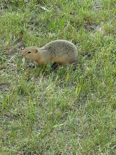
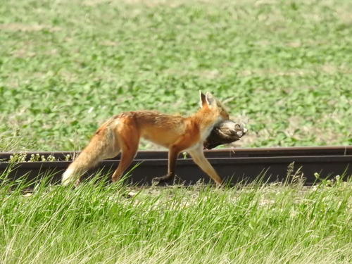
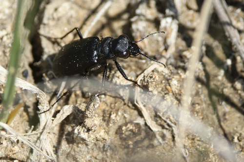
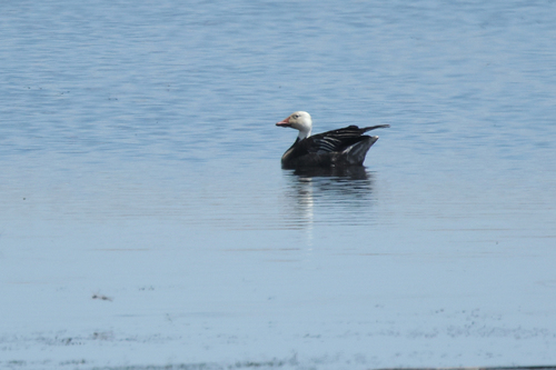
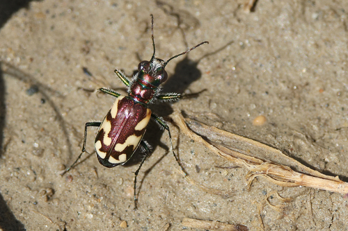
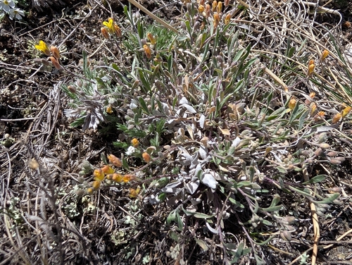
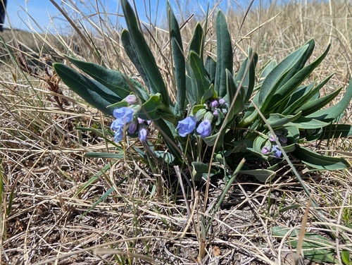
Research-grade observations from iNaturalist (within ~15 mi).
Events
Gallery
Official Identifiers
StatCan — Statistics Canada
- SGC code
- 4702058
- Wikidata
- Q1916323
Standard Geographical Classification (SGC) via Wikidata P3012
Sources
- • Wikipedia
- • Wikidata
- • iNaturalist
- • Open-Meteo / sunrise-sunset.org
- • Wikipedia Pageviews API
- • Open Library
- • NASA EONET
- • StatCan — Statistics Canada — Standard Geographical Classification (SGC) via Wikidata P3012