Browse / Canada / British Columbia / Opitsaht
Opitsaht
British Columbiavillage

Opitsaht
Demographic figures from Statistics Canada. Overview below cites Wikipedia and may reference a different year.
City facts
Overview
Opitsaht, spelled also as Opitsat and Opitsitah, is a First Nations settlement/community in the Southwest area of Meares Island, Clayoquot South, British Columbia. This peninsula-like region is the home to Tla-o-qui-aht First Nations of the Nuu-chah-nulth nation. The Tla-o-qui-aht are an Indigenous group from the Pacific Northwest region in the lower Vancouver area, known for their lifestyle revolving around the marine life trade and culture within the community.
Read more on WikipediaHistory & geography
History
The settlement of Opitsaht was a great resource point during the Maritime Fur Trade, a ship based trading system during the popularity of sea otter fur and other marine life usually located around the Pacific Northwest Coast of Alaska. At the same time, Opitsaht was the home to Tla-o-qui-aht chief, Wickaninnish, who was present during the initial European contact in the 1780s. The original village of Opitsaht was destroyed by the American Captain Robert Gray, after tensions arose between the Tla-o-qui-aht people and the European settlers who had made contact. In 1792, the village was destroyed, including 200 (unoccupied) longhouses that were home to 50-100 people each. The settlers of Opitsaht would soon have to turn to assimilation, with the increased amount of European immigrants spreading throughout the 19th century. Tla-o-qui-aht people were forced onto reservations and residential schools, all various methods to control the Native way of life under The Indian Act. Over time, the Nuu-chah-nulth culture faded, but the Tla-o-qui-aht people, along with the other Nuu-chah-nulth tribes, are continuing to preserve the culture and language of their people. Environmental tensions arose in the Meares Islands area after British Columbia's government wanted to cut down the old forests in Clayoquot South. The plans started in 1984, but the Tla-o-qui-aht people were ready to defend their tribal land. These old forests were considered tribal ground and ancient woodlands, sparking a resistance and large-scale protest of the area, known as the "War in the Woods". In 2000, the UNESCO declared Clayoquot Sound as a Biosphere reserve, in turn protecting it from industrialization. Opitsaht and the Meares Islands are currently in the Vancouver Islands, British Columbia, and the…
Excerpted from the corresponding Wikipedia article (CC BY-SA).
Geography
Coordinates & boundaries from the US Census TIGER/Line shapefiles.
Climate
Air quality
Walkability
Amenities nearby
Wildlife & biodiversity
Earthquake history
Photos
Sights & places nearby
Notable people from here


People born within ~10 km, from Wikidata (CC0). Click any name for their Wikipedia article.
Geography & sun
Elevation, sunrise/sunset and daylight from Open-Meteo. Solar climatology from NASA POWER.
Nearby airports
Public attention
Pageview totals from the Wikimedia Pageviews API.
Books about this place
Recent natural events nearby
- Wildfire Electric, Whatcom, WashingtonWildfires · 2026-08-22 · 206 mi
- Wildfire Thunder Creek, Skagit, WashingtonWildfires · 2026-08-22 · 226 mi
- Wildfire SISI, Chelan, WashingtonWildfires · 2026-08-14 · 238 mi
- Wildfire KING, Kittitas, WashingtonWildfires · 2026-08-19 · 244 mi
Wildfires, storms and other events from NASA EONET (last 12 months, within 250 mi).
Ground air-quality sensors
Recently spotted species
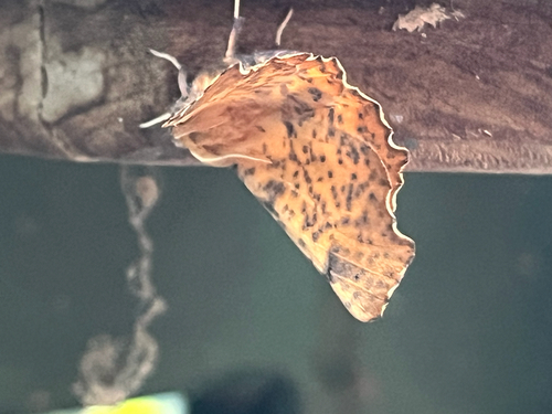
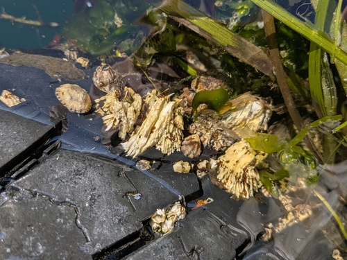
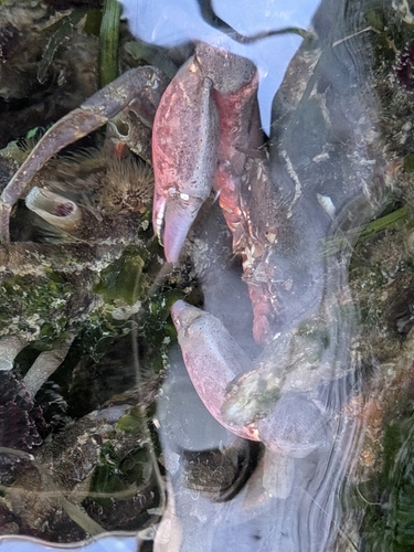
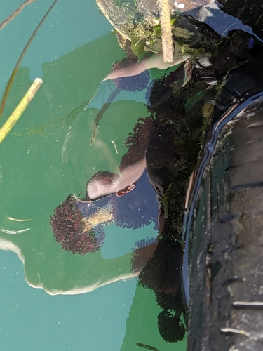
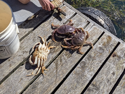
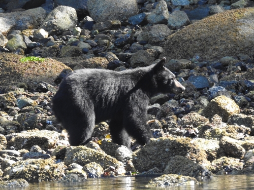
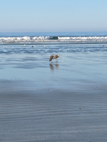
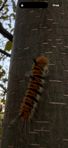
Research-grade observations from iNaturalist (within ~15 mi).
Events
Gallery
Sources
- • Wikipedia
- • Wikidata
- • iNaturalist
- • Open-Meteo / sunrise-sunset.org
- • Wikipedia Pageviews API
- • NASA EONET