Browse / United States / California / Palm Springs
Palm Springs
Californiacity

Palm Springs
Total population
45,070
Median home value
$604,000
Bachelor's+
Median income
$73,119
Air quality index
Demographic figures from US Census Bureau · ACS 5-year estimates. Overview below cites Wikipedia and may reference a different year.
- Air Quality Alert · UnknownAir Quality Alert issued June 27 at 6:37AM PDT by NWS San Diego CA
Source: NOAA National Weather Service.
City facts
Facts from Wikidata (CC0).
Overview
Palm Springs is a desert resort city in Riverside County, California, United States, within the Colorado Desert's Coachella Valley. The city covers approximately 94 square miles (240 km2), making it the largest city in Riverside County by land area. With multiple plots in checkerboard pattern, more than 10% of the city is part of the Agua Caliente Band of Cahuilla Indians reservation land and is the administrative capital of the most populated reservation in California.
Read more on WikipediaHistory & geography
History
The first humans to settle in the area were the Cahuilla people, who arrived 2,000 years ago. Cahuilla Indians lived here in isolation from other cultures for hundreds of years prior to European contact. They spoke Ivilyuat, which is a Uto-Aztecan language. Numerous prominent and powerful Cahuilla leaders were from the area, including Cahuilla Lion (Chief Juan Antonio). Palm Canyon was occupied during the winter months, but they often moved to cooler Chino Canyon during the summer months. The Cahuilla Indians had several permanent settlements in the canyons of Palm Springs due to the abundance of water and shade. Various hot springs were used during wintertime. The Cahuilla hunted rabbit, mountain goat, and quail while trapping fish in nearby lakes and rivers. While men were responsible for hunting, women were responsible for collecting berries, acorns, and seeds. They also made tortillas from mesquite seeds. Ancient petroglyphs, pictographs and mortar holes can be seen in Andreas Canyon. The mortar holes were used to grind acorns into meal. The Agua Caliente ("Hot Water") Reservation was established in 1876 and consists of . are located by Downtown Palm Springs. The Native American land is on long lease land and next to one of California's high-end communities, making the tribe one of the wealthiest in California. The first name for Palm Springs was given by the native Cahuilla: "Se-Khi" (boiling water). When the Agua Caliente Reservation was established by the United States government in 1876, the reservation land was composed of alternating sections () of land laid out across the desert in a checkerboard pattern. The alternating non-reservation sections were granted to the Southern Pacific Railroad as an incentive to bring rail lines through the Sonoran Desert.…
Geography
Palm Springs is located in the Colorado Desert. According to the United States Census Bureau, the city has a total area of , of which is land and (1%) is water. Located in the Coachella Valley desert region, Palm Springs is sheltered by the San Bernardino Mountains to the north, the Santa Rosa Mountains to the south, by the San Jacinto Mountains to the west and by the Little San Bernardino Mountains to the east. Palm Springs has a hot desert climate (BWh in Köppen-Geiger classification), with over 300 days of sunshine and of rainfall annually. The wettest "rain year" on record was from July 1926 to June 1927 with — of which fell during three days in mid-February — and the driest from July 2001 to June 2002 with . The winter months are warm, with a majority of days reaching and in January and February afternoons often see temperatures of and on occasion reach over , while, on average, there are 17 mornings annually dipping to or below ; Summers are extremely hot, with daytime temperatures consistently surpassing while overnight temperatures often remain above . The mean annual temperature is . There are on average 176.6 afternoons with a high reaching , and can be seen on 114.8 afternoons. The climate of Palm Springs is suitable for some palm trees, although tropical types that need more water and humidity do not grow as well. On October 1, 2024 the temperature in Palm Springs reached , tying the record for the highest temperature in the United States in October, after the same temperature was reached in nearby Mecca on October 5, 1917. On July 5, 2025, Palm Springs recorded its highest temperature of . The locale features a variety of native Low Desert flora and fauna. A notable tree occurring in the wild and under cultivation is the California Fan Palm,…
Excerpted from the corresponding Wikipedia article (CC BY-SA).
Demographics & economy
Race & ethnicity
Source: US Census Bureau — American Community Survey, 5-year estimates.
Geography
Coordinates & boundaries from the US Census TIGER/Line shapefiles.
Climate
Current forecast
Forecast for Palm Springs, CA from NOAA NWS API.
Air quality
Current readings from Open-Meteo Air Quality API (Copernicus CAMS European reanalysis).
Industrial & pollution facilities
Natural hazard risk
Health (adults)
Age-adjusted prevalence estimates from CDC PLACES (latest release).
Walkability
Amenities nearby
Wildlife & biodiversity
Most-observed species
- Common RavenCorvus corax Linnaeus, 1758 · Aves13,768
- House FinchHaemorhous mexicanus (P.L.Statius Müller, 1776) · Aves11,748
- Costa's HummingbirdCalypte costae (Bourcier, 1839) · Aves10,565
- Mourning DoveZenaida macroura (Linnaeus, 1758) · Aves10,476
- VerdinAuriparus flaviceps (Sundevall, 1850) · Aves9,326
- Yellow-rumped WarblerSetophaga coronata (Linnaeus, 1766) · Aves9,231
- Northern MockingbirdMimus polyglottos (Linnaeus, 1758) · Aves8,911
- Western BluebirdSialia mexicana Swainson, 1832 · Aves8,224
Citizen-science & research observations from the Global Biodiversity Information Facility (GBIF).
Schools
Largest nearby schools
- Palm Springs HighHigh · Palm Springs · 1,584 students · 23:1 ratio
- Rancho Mirage HighHigh · Rancho Mirage · 1,491 students · 21.9:1 ratio
- Cathedral City HighHigh · Cathedral City · 1,395 students · 20.2:1 ratio
- James Workman MiddleMiddle · Cathedral City · 1,028 students · 22.8:1 ratio
- Nellie N. Coffman MiddleMiddle · Cathedral City · 953 students · 21.7:1 ratio
- Cielo Vista CharterElementary · Palm Springs · 872 students · 22.4:1 ratio
- Sunny Sands ElementaryElementary · Cathedral City · 721 students · 23.3:1 ratio
- Two Bunch Palms ElementaryElementary · Desert Hot Springs · 711 students · 22.2:1 ratio
Public K–12 schools within ~10 mi from Urban Institute Education Data Portal (NCES Common Core of Data, 2022).
Earthquake history
Most recent
- M 2.83 — 2026-06-2619 km NNE of Indio, CA
- M 2.82 — 2026-06-097 km SE of Loma Linda, CA
- M 3.18 — 2026-06-097 km SE of Loma Linda, CA
- M 2.54 — 2026-06-031 km E of San Jacinto, CA
- M 2.65 — 2026-05-1620 km SW of Ocotillo Wells, CA
- M 2.51 — 2026-05-123 km WSW of Lake Henshaw, CA
Events from the USGS Earthquake Catalog (global) (FDSN Event Web Service).
Photos
Sights & places nearby
Notable people from here


People born within ~10 km, from Wikidata (CC0). Click any name for their Wikipedia article.
Nearby places in California
- Cathedral City4.9 mi away · pop. 52,267
- Desert Hot Springs10.7 mi away · pop. 33,200
- Cabazon15.9 mi away · pop. 1,887
- Indio Hills16.8 mi away · pop. 1,117
- Banning22.9 mi away · pop. 31,093
- Homestead Valley33.2 mi away
- Big Bear City34.5 mi away · pop. 11,431
- Big Bear Lake36.6 mi away · pop. 5,041
- Mentone37.5 mi away · pop. 9,514
- Borrego Springs40.2 mi away · pop. 2,700
- Salton Sea Beach42.3 mi away
- Loma Linda44 mi away · pop. 25,122
Geography & sun
Elevation, sunrise/sunset and daylight from Open-Meteo. Solar climatology from NASA POWER.
Nearby airports
Public attention
Pageview totals from the Wikimedia Pageviews API.
Books about Palm Springs


Search results from Open Library.
Recent natural events nearby
- Cyclone RachelSevere Storms · 2026-10-11 · 66 mi
- Wildfire BOUQUET, Los Angeles, CaliforniaWildfires · 2026-10-03 · 119 mi
- Wildfire RIDGE, Los Angeles, CaliforniaWildfires · 2026-08-07 · 148 mi
- Wildfire BUZZARD, Kern, CaliforniaWildfires · 2026-08-05 · 156 mi
- Wildfire CYRUS, Kern, CaliforniaWildfires · 2026-10-09 · 169 mi
- Wildfire Campwood, Yavapai, ArizonaWildfires · 2026-08-23 · 204 mi
- Wildfire PLAINS, San Luis Obispo, CaliforniaWildfires · 2026-08-12 · 226 mi
- Prescribed Fire CRAWFORD CORRAL RX, Tulare, CaliforniaWildfires · 2026-09-19 · 237 mi
Wildfires, storms and other events from NASA EONET (last 12 months, within 250 mi).
Ground air-quality sensors
Recently spotted species
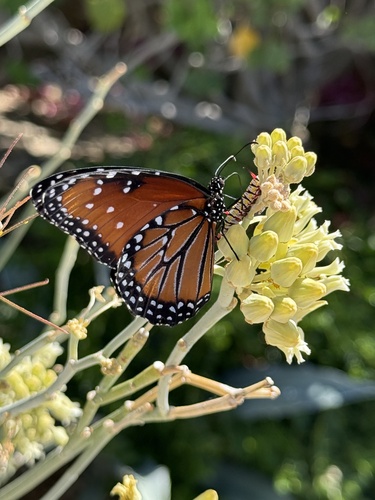
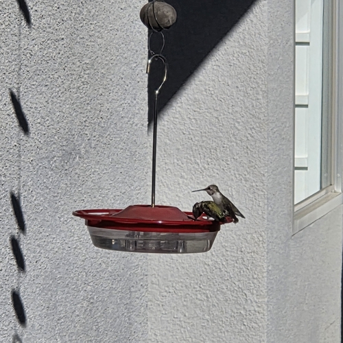
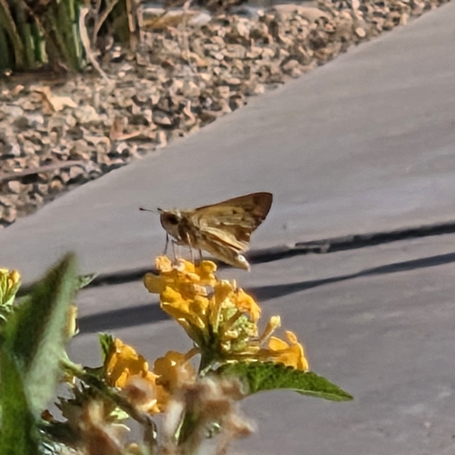
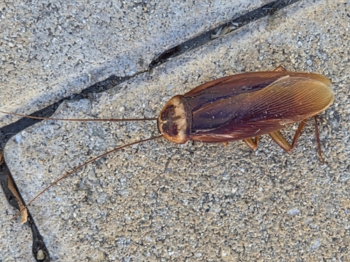
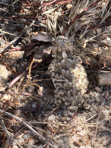
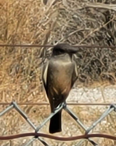
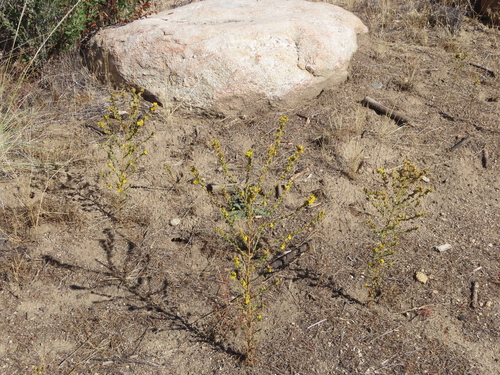
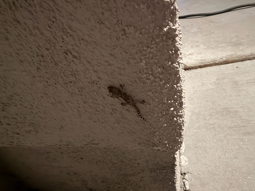
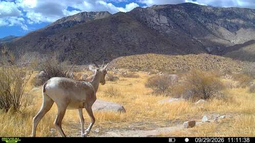
Research-grade observations from iNaturalist (within ~15 mi).
Nearest stream gauge
Live readings from USGS NWIS · measured 2026-10-16 08:45 UTC.
Events
Gallery
Sources
- • Wikipedia
- • US Census Bureau (ACS 5-year estimates)
- • NOAA National Weather Service
- • Wikidata
- • Open-Meteo Air Quality (CAMS)
- • USGS Earthquake Catalog (global feed)
- • USGS NWIS (water data)
- • NCES via Urban Institute Education Data Portal
- • GBIF (Global Biodiversity Information Facility)
- • iNaturalist
- • CDC PLACES
- • Open-Meteo / sunrise-sunset.org
- • Wikipedia Pageviews API
- • Open Library
- • NASA EONET