Browse / Canada / Saskatchewan / Pambrun
Pambrun
Saskatchewanvillage

Featured view
Pambrun
Coordinates49.93°, -107.46°
Demographic figures from Statistics Canada. Overview below cites Wikipedia and may reference a different year.
Loading additional data from public sources…0 / 11
CensusWikipediaWeatherPlacesPeopleEnvironmentHealth & SchoolsRelatedGeography & CultureLive MonitoringEvents & Gallery
0% completeCity facts
Overview
Pambrun is an unincorporated community in Saskatchewan, Canada, 61 km southeast of the city of Swift Current. It is located on Highway 43, at its junction with Highway 628, in the Rural Municipality of Whiska Creek No. 106.
Read more on WikipediaHistory & geography
Geography
Latitude
49.9336
Longitude
-107.4561
Water area
—
Coordinates & boundaries from the US Census TIGER/Line shapefiles.
Climate
Air quality
Walkability
Amenities nearby
Wildlife & biodiversity
Earthquake history
Photos
Sights & places nearby
Notable people from here
Nearby places in Saskatchewan
- Sturgeon Lake245.3 mi away
- Big River251.8 mi away · pop. 1,140
- Kamienna Wola4801 mi away · pop. 330
- Bernów4801.6 mi away · pop. 160
- Maleniec4803.2 mi away · pop. 150
- Wyszyna Machorowska4804.7 mi away · pop. 110
- Gracuch4804.8 mi away · pop. 190
- Komaszyce4806 mi away · pop. 180
- Ruda Maleniecka4806.5 mi away · pop. 610
- Hucisko4807.7 mi away · pop. 160
- Drutarnia4808.5 mi away
- Stara Kuźnica4809.1 mi away · pop. 140
Geography & sun
Avg solar (kWh/m²/day)
3.89
Annual solar (kWh/m²)
1,418
Elevation, sunrise/sunset and daylight from Open-Meteo. Solar climatology from NASA POWER.
Nearby airports
Public attention
Wikipedia views (last 30 days)
15
Avg daily Wikipedia views
1
Attention level
Obscure
Pageview totals from the Wikimedia Pageviews API.
Books about this place
Recent natural events nearby
- Wildfire Middle Coulee, Chouteau, MontanaWildfires · 2026-08-02 · 221 mi
Wildfires, storms and other events from NASA EONET (last 12 months, within 250 mi).
Ground air-quality sensors
Recently spotted species
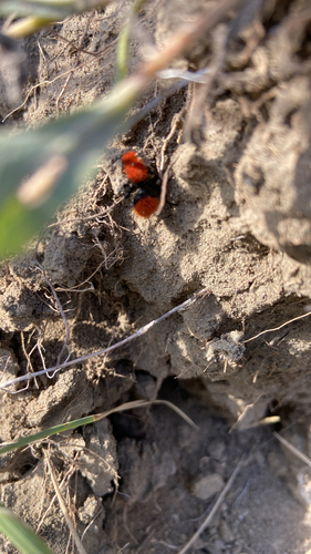
Dasymutilla vestita
Dasymutilla vestita
Seen 2025-09-27
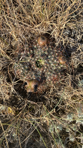
Spinystar
Escobaria vivipara
Seen 2025-09-27
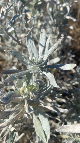
Silver Sagebrush
Artemisia cana
Seen 2025-08-24
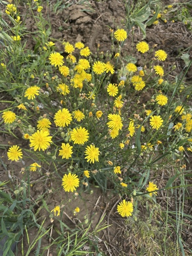
narrow-leaved hawksbeard
Crepis tectorum
Seen 2025-07-29
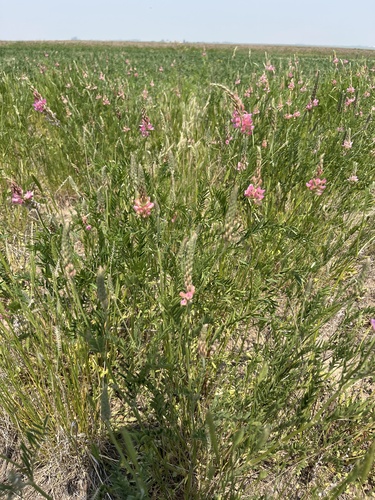
Sainfoin
Onobrychis viciifolia
Seen 2025-06-10
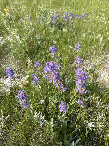
Small-flower Beardtongue
Penstemon procerus
Seen 2025-06-10
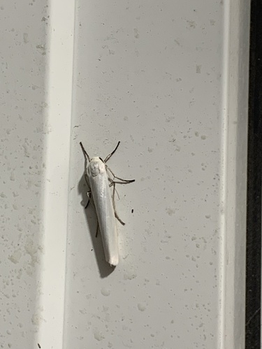
Pearly-winged Lichen Moth
Crambidia casta
Seen 2024-08-11
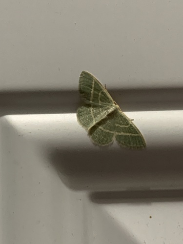
Blackberry Looper Moth
Chlorochlamys chloroleucaria
Seen 2024-08-11
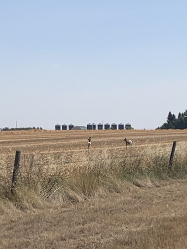
Pronghorn
Antilocapra americana
Seen 2024-08-10
Research-grade observations from iNaturalist (within ~15 mi).
Events
Gallery
Sources
- • Wikipedia
- • Wikidata
- • iNaturalist
- • Open-Meteo / sunrise-sunset.org
- • Wikipedia Pageviews API
- • NASA EONET