Browse / Canada / Ontario / Parry Sound
Parry Sound
Ontariotown
Air quality index
Demographic figures from Statistics Canada. Overview below cites Wikipedia and may reference a different year.
City facts
Overview
Found in Ontario, Canada, Parry Sound is classified as a town in public datasets. Its coordinates of 45.344°, -80.034° place it in the temperate zone of the northern hemisphere. Up-to-date population figures for this locality are not available in the open datasets we monitor. Open solar datasets indicate about 1,297 kWh/m² of solar irradiance per year, combined with sunshine for roughly 51% of daylight hours. Long-term weather observations show average highs near 52.1°F and lows near 38.8°F with about 46.6 in of annual precipitation (a wet total). Climatically, locations at this latitude tend to experience four distinct seasons with warm summers and cold winters. Additional figures on demographics, climate, geography and points of interest appear in the sections that follow, all drawn from open public datasets.
Summary composed automatically from structured open data on this page. See our Terms for details.
History & geography
Geography
Coordinates & boundaries from the US Census TIGER/Line shapefiles.
Climate
10-year averages from ERA5 reanalysis (Open-Meteo).
Air quality
Current readings from Open-Meteo Air Quality API (Copernicus CAMS European reanalysis).
Walkability
Amenities nearby
Wildlife & biodiversity
Most-observed species
- Black-capped ChickadeePoecile atricapillus (Linnaeus, 1766) · Aves3,760
- Blue JayCyanocitta cristata (Linnaeus, 1758) · Aves3,195
- American RobinTurdus migratorius Linnaeus, 1766 · Aves2,748
- White-breasted NuthatchSitta carolinensis Latham, 1790 · Aves2,481
- American GoldfinchSpinus tristis (Linnaeus, 1758) · Aves2,350
- Song SparrowMelospiza melodia (A.Wilson, 1810) · Aves2,346
- Red-eyed VireoVireo olivaceus (Linnaeus, 1766) · Aves2,177
- Common RavenCorvus corax Linnaeus, 1758 · Aves2,094
Citizen-science & research observations from the Global Biodiversity Information Facility (GBIF).
Earthquake history
Most recent
- M 2.5 — 2012-07-2917 km SSW of Parry Sound, Canada
- M 2.5 — 2010-05-1719 km WNW of Gravenhurst, Canada
- M 4.2 — 2005-10-2012 km NE of Meaford, Canada
Events from the USGS Earthquake Catalog (global) (FDSN Event Web Service).
Photos
Sights & places nearby
Notable people from here


People born within ~10 km, from Wikidata (CC0). Click any name for their Wikipedia article.
Nearby places in Ontario
Geography & sun
Elevation, sunrise/sunset and daylight from Open-Meteo. Solar climatology from NASA POWER.
Nearby airports
Public attention
Books about Parry Sound

Search results from Open Library.
Recent natural events nearby
- Wells Rd Unit 1 RX Prescribed Fire, Iosco, MichiganWildfires · 2026-04-22 · 180 mi
- River Road 16 RX Prescribed Fire, Iosco, MichiganWildfires · 2026-04-19 · 186 mi
- KALKASKA-RX 61150021 Fletcher Unit 2 Prescribed Fire, Kalkaska, MichiganWildfires · 2026-05-28 · 246 mi
Wildfires, storms and other events from NASA EONET (last 12 months, within 250 mi).
Ground air-quality sensors
Recently spotted species
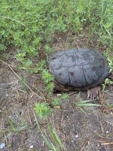
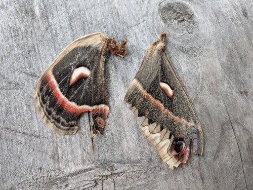
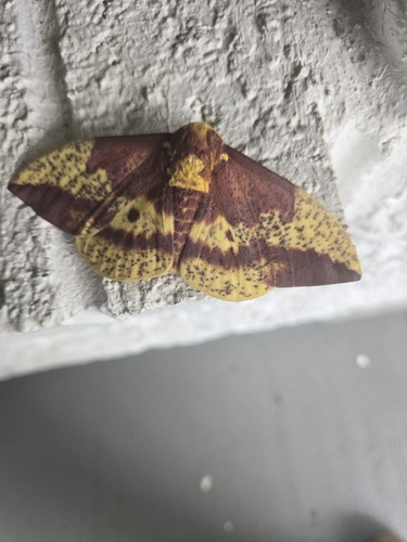
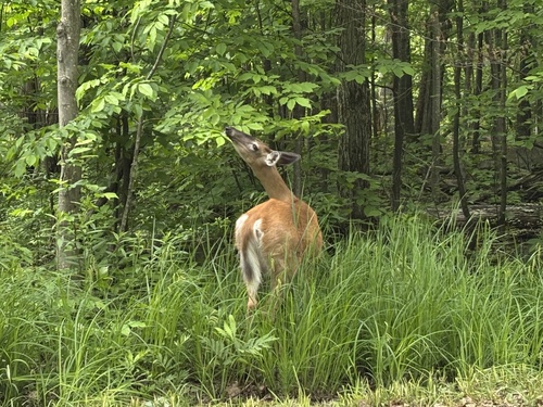
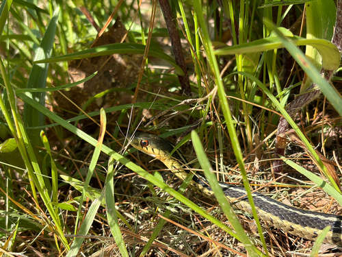
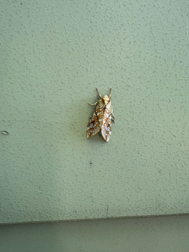
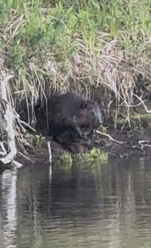
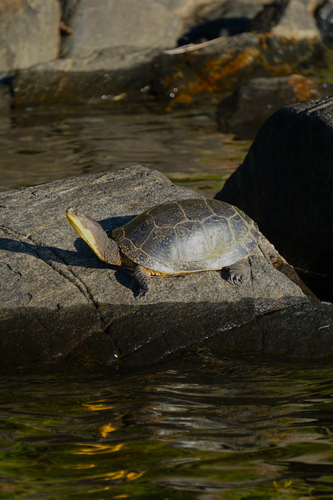
Research-grade observations from iNaturalist (within ~15 mi).
Events
Gallery
Geotagged photos within ~6 miles of Parry Sound, from Wikimedia Commons contributors.
.jpg) 0 mi
0 mi.jpg) 0 mi
0 mi 0 mi
0 mi 0.1 mi
 0.1 mi
 0.2 mi
.jpg) 0.2 mi
0.2 mi 0.2 mi
.jpg) 0.2 mi
0.2 mi.jpg) 0.2 mi
0.2 mi.jpg) 0.2 mi
0.2 mi 0.3 mi
 0.3 mi
.jpg) 0.3 mi
0.3 mi.jpg) 0.3 mi
0.3 mi.jpg) 0.3 mi
0.3 mi.jpg) 0.3 mi
0.3 mi.jpg) 0.3 mi
0.3 mi.jpg) 0.3 mi
0.3 mi.jpg) 0.3 mi
0.3 mi.jpg) 0.3 mi
0.3 mi 0.4 mi
 0.4 mi
.jpg) 0.4 mi
0.4 miPhotos via Wikimedia Commons — see each image page for license & attribution.
Official Identifiers
StatCan — Statistics Canada
- SGC code
- 3549032
- Wikidata
- Q2219667
Standard Geographical Classification (SGC) via Wikidata P3012
Sources
- • Open-Meteo (ERA5 reanalysis)
- • Wikimedia Commons
- • Wikidata
- • Open-Meteo Air Quality (CAMS)
- • USGS Earthquake Catalog (global feed)
- • GBIF (Global Biodiversity Information Facility)
- • iNaturalist
- • Open-Meteo / sunrise-sunset.org
- • Open Library
- • NASA EONET
- • StatCan — Statistics Canada — Standard Geographical Classification (SGC) via Wikidata P3012