Browse / Canada / Ontario / Peterborough
Peterborough
Ontariocity

Peterborough
Total population
81,032
Founded
1819
Demographic figures from Statistics Canada. Overview below cites Wikipedia and may reference a different year.
City facts
Facts from Wikidata (CC0).
Overview
Peterborough is a city and county seat of Peterborough County, Ontario, Canada, about 125 kilometres northeast of Toronto. According to the 2021 Census, the population of the City of Peterborough was 83,651. The population of the Peterborough Census Metropolitan Area (CMA), which includes the surrounding Townships of Selwyn, Cavan Monaghan, Otonabee-South Monaghan, and Douro-Dummer, was 128,624 in 2021. In 2021, Peterborough ranked 32nd among the country's 41 census metropolitan areas according to Statistics Canada. The current mayor of Peterborough is Jeff Leal.
Read more on WikipediaHistory & geography
History
In 1615, Samuel de Champlain travelled through the area, coming down from Lake Chemong and portaging down a trail, which is approximated by present-day Chemong Road, to the Otonabee River and stayed for a brief time near the present-day site of Bridgenorth, just north of Peterborough. In 1818, Adam Scott settled on the west shore of the Otonabee River. The following year he began construction of a sawmill and gristmill, establishing the area as Scott's Plains. The mill was located at the foot of present-day King Street and was powered by water from Jackson Creek. This location, adjacent to the Ontario government Ministry of Natural Resources building, and Peterborough's Millennium Park may have been the site of landfall for a portage which connects in a direct line with Bridgenorth. The site has an Ojibway name "Nogojiwanong" which means "the place at the end of the rapids". The year 1825 marked the arrival of Irish immigrants from the City of Cork to Scott's Plains. In 1822, the British Parliament had approved an experimental emigration plan to transport poor Irish Catholic families to Upper Canada. Peter Robinson, a member of the Legislative Assembly of Upper Canada and a prominent businessman from York, Upper Canada was the man who took on the emigration plan of 1825. Scott's Plains was renamed Peterborough in his honour. Robinson interviewed families and individual males to make the long voyage. These families had to meet specific criteria in order to be eligible for the voyage. The specifics required for Robinson's settlers were that they had to be Catholic, poor and with a knowledge of farming. Males had to be less than forty-five years of age, in good health, and families were unrelated. The majority of the Irish emigrants were chosen from Fermoy, North Cork.…
Geography
Peterborough is situated in Central Ontario within the Kawartha Lakes region. Peterborough lies in the St. Lawrence Lowlands ecoregion, just south of the Canadian Shield and approximately north of Lake Ontario. The city is sited on a series of rapids in the Otonabee River, approximately halfway between the river's source (Katchewanooka Lake) and its mouth (Rice Lake). The city completely surrounds the only lake on the Otonabee, Little Lake, and the Trent Canal runs along the eastern edge of the city, connecting Little Lake to a section of the Otonabee above the rapids. Peterborough's topography is largely defined by land formations created by the receding Wisconsian glaciers 10,000–15,000 years ago. The South End and Downtown portions of the city sit on what was the bottom of the glacial Lake Peterborough—part of a glacial spillway created when glacial meltwaters from ancient Lake Algonquin (now Lake Huron) travelled south to ancient Lake Iroquois (now Lake Ontario). This area of relatively low and flat relief (approximately above sea level) is prone to flooding, exemplified in the major flood that occurred on July 15, 2004. The ground elevation rises to the west, north, and east where a large upland area (the Peterborough Drumlin field) defines the landscape. Much of the land in the north and west ends of the city rises to above sea level, with Tower Hill, at above sea level, being the highest point. Armour Hill, another prominent drumlin located in east city, forms the physical obstacle that the Trent-Severn Waterway ascends by way of the Peterborough Lift Lock. The Oak Ridges Moraine is located approximately south of the city. Peterborough has a humid continental climate (Köppen climate classification Dfb) with four distinct seasons. It lies in a transitional…
Excerpted from the corresponding Wikipedia article (CC BY-SA).
Geography
Coordinates & boundaries from the US Census TIGER/Line shapefiles.
Climate
Air quality
Walkability
Amenities nearby
Wildlife & biodiversity
Most-observed species
- Black-capped ChickadeePoecile atricapillus (Linnaeus, 1766) · Aves50,381
- American CrowCorvus brachyrhynchos C.L.Brehm, 1822 · Aves45,796
- American RobinTurdus migratorius Linnaeus, 1766 · Aves43,808
- Mourning DoveZenaida macroura (Linnaeus, 1758) · Aves39,890
- American GoldfinchSpinus tristis (Linnaeus, 1758) · Aves38,659
- Blue JayCyanocitta cristata (Linnaeus, 1758) · Aves37,359
- Northern CardinalCardinalis cardinalis (Linnaeus, 1758) · Aves33,529
- Song SparrowMelospiza melodia (A.Wilson, 1810) · Aves29,836
Citizen-science & research observations from the Global Biodiversity Information Facility (GBIF).
Earthquake history
Most recent
- M 4.1 — 2026-01-2824 km ESE of Orillia, Canada
- M 2.6 — 2020-03-2911 km N of Lyndonville, New York
- M 3 — 2018-05-0814 km SSE of Ajax, Canada
- M 2.52 — 2017-07-1111 km NNW of Barker, New York
- M 2.46 — 2014-02-1334 km N of Lyndonville, New York
- M 2.95 — 2007-07-1927 km S of Cobourg, Canada
Events from the USGS Earthquake Catalog (global) (FDSN Event Web Service).
Photos
Sights & places nearby
Notable people from here
Geography & sun
Elevation, sunrise/sunset and daylight from Open-Meteo. Solar climatology from NASA POWER.
Nearby airports
Public attention
Pageview totals from the Wikimedia Pageviews API.
Books about Peterborough


Search results from Open Library.
Recent natural events nearby
Ground air-quality sensors
Recently spotted species
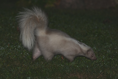
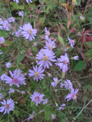
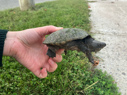
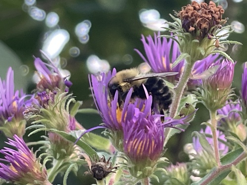
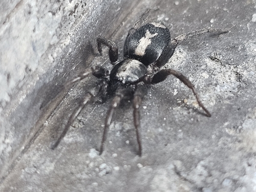
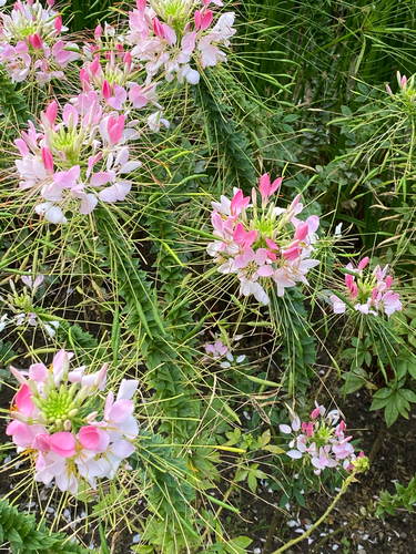

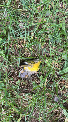
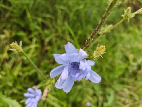
Research-grade observations from iNaturalist (within ~15 mi).
Events
Gallery
Official Identifiers
StatCan — Statistics Canada
- SGC code
- 3515014
- Population (Wikidata)
- 81,032
- Wikidata
- Q776930
Standard Geographical Classification (SGC) via Wikidata P3012
Sources
- • Wikipedia
- • Wikidata
- • USGS Earthquake Catalog (global feed)
- • GBIF (Global Biodiversity Information Facility)
- • iNaturalist
- • Open-Meteo / sunrise-sunset.org
- • Wikipedia Pageviews API
- • Open Library
- • StatCan — Statistics Canada — Standard Geographical Classification (SGC) via Wikidata P3012