Browse / Canada / Ontario / Pickle Lake
Pickle Lake
Ontariotown

Pickle Lake
Total population
500
Founded
1929
Demographic figures from Statistics Canada. Overview below cites Wikipedia and may reference a different year.
City facts
Facts from Wikidata (CC0).
Overview
Pickle Lake is a township in the Canadian province of Ontario, and is the most northerly community in the province that has year-round access by road. Located 530 kilometres (330 mi) north of Thunder Bay, highway access is via Highway 599, the only access road to the town from the south. More northerly communities rely on winter roads for access and are cut off to land travel in the summer. Highway 599 meets the Northern Ontario Resource Trail, formerly Tertiary Highway 808, at Pickle Lake.
Read more on WikipediaHistory & geography
History
Pickle Lake was founded as a local transportation centre for mining activities after gold was discovered nearby in 1928. From that time until 1995, more than 2.5 million ounces of gold were produced in the area. Copper was also mined near Pickle Lake in the 1970s. Exploration for gold and copper in the Pickle Lake area continues to this day. Jack Hammell's Pickle Crow Gold Mines (1935–1961) produced 1,446,214 ounces of gold. Alex and Murdoch Mosher's Central Patricia Mine (1927–1951) produced 621,806 ounces. Pickle Lake was incorporated as a township in 1980. It got its name from the shape of the lake which resembles a cucumber or pickle. The township also includes the former townsites of Central Patricia and Pickle Crow. Both formerly independent settlements, Central Patricia now consists only of a few buildings located at the terminus of Highway 599 within the township, while Pickle Crow is a ghost town. After the Pickle Crow gold mine was shut down in 1966, the Ministry of Natural Resources set fire to the site as part of its program to clean up abandoned mines.
Excerpted from the corresponding Wikipedia article (CC BY-SA).
Geography
Coordinates & boundaries from the US Census TIGER/Line shapefiles.
Climate
Air quality
Walkability
Amenities nearby
Wildlife & biodiversity
Earthquake history
Photos
Sights & places nearby
Notable people from here
Nearby places in Ontario
- New Osnaburgh16.1 mi away
- Old Osnaburgh25.7 mi away
- Armstrong94.8 mi away · pop. 4,815
- Neskantaga105.9 mi away · pop. 304
- Kingfisher Lake109.3 mi away
- Weagamow Lake113.5 mi away · pop. 677
- McDowell Lake119.9 mi away
- North Spirit Lake140.4 mi away · pop. 264
- Wawakapewin144.2 mi away · pop. 21
- Kasabonika Lake157.7 mi away · pop. 850
- Beardmore162 mi away
- Big Trout Lake163.4 mi away · pop. 904
Geography & sun
Nearby airports
Public attention
Books about this place
Recent natural events nearby
Ground air-quality sensors
Recently spotted species
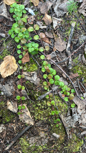
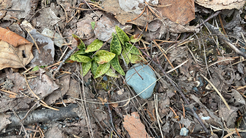
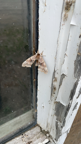
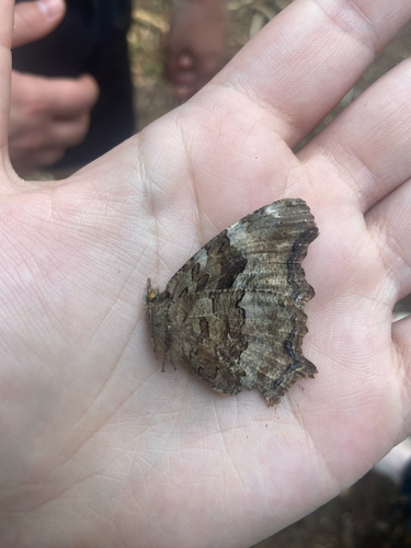
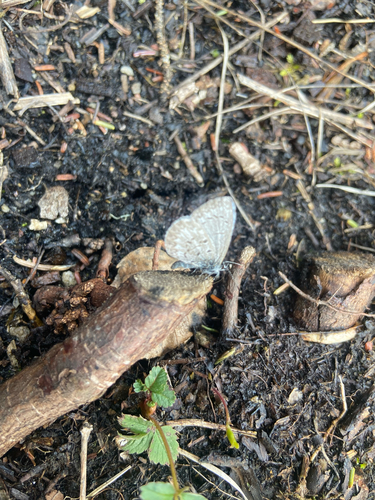
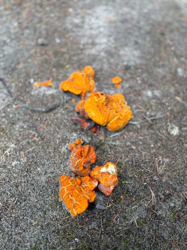
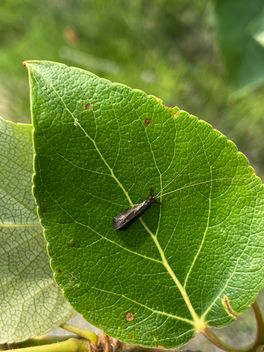
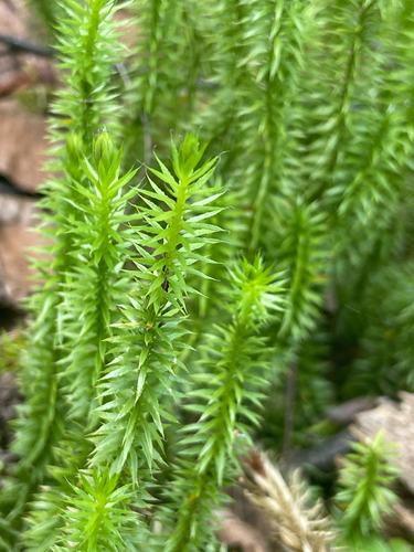
Research-grade observations from iNaturalist (within ~15 mi).
Events
Gallery
Official Identifiers
StatCan — Statistics Canada
- SGC code
- 3560049
- Population (Wikidata)
- 398
- Wikidata
- Q11816433
Standard Geographical Classification (SGC) via Wikidata P3012
Sources
- • Wikipedia
- • Wikidata
- • iNaturalist
- • StatCan — Statistics Canada — Standard Geographical Classification (SGC) via Wikidata P3012